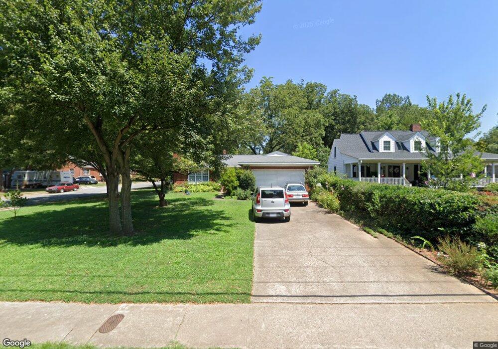
683 Union St S Concord, NC 28025
Estimated Value: $308,000 - $341,000
3
Beds
2
Baths
1,646
Sq Ft
$197/Sq Ft
Est. Value
About This Home
This home is located at 683 Union St S, Concord, NC 28025 and is currently estimated at $323,992, approximately $196 per square foot. 683 Union St S is a home located in Cabarrus County with nearby schools including R Brown Mcallister STEMElementary, Concord Middle School, and Concord High School.
Ownership History
Date
Name
Owned For
Owner Type
Purchase Details
Closed on
Aug 11, 2014
Sold by
Morgan James P and Faggart Peggy I
Bought by
Hayes Stephen M and Hayes June H
Current Estimated Value
Home Financials for this Owner
Home Financials are based on the most recent Mortgage that was taken out on this home.
Original Mortgage
$130,500
Outstanding Balance
$99,803
Interest Rate
4.19%
Mortgage Type
New Conventional
Estimated Equity
$224,189
Purchase Details
Closed on
Sep 1, 1989
Bought by
Morgan James P and Wife Willie R
Create a Home Valuation Report for This Property
The Home Valuation Report is an in-depth analysis detailing your home's value as well as a comparison with similar homes in the area
Home Values in the Area
Average Home Value in this Area
Purchase History
| Date | Buyer | Sale Price | Title Company |
|---|---|---|---|
| Hayes Stephen M | $145,000 | None Available | |
| Morgan James P | $82,500 | -- |
Source: Public Records
Mortgage History
| Date | Status | Borrower | Loan Amount |
|---|---|---|---|
| Open | Hayes Stephen M | $130,500 |
Source: Public Records
Tax History Compared to Growth
Tax History
| Year | Tax Paid | Tax Assessment Tax Assessment Total Assessment is a certain percentage of the fair market value that is determined by local assessors to be the total taxable value of land and additions on the property. | Land | Improvement |
|---|---|---|---|---|
| 2025 | -- | $268,950 | $71,400 | $197,550 |
| 2024 | $2,679 | $268,950 | $71,400 | $197,550 |
| 2023 | $1,946 | $159,530 | $35,700 | $123,830 |
| 2022 | $1,946 | $159,530 | $35,700 | $123,830 |
| 2021 | $1,946 | $159,530 | $35,700 | $123,830 |
| 2020 | $1,946 | $159,530 | $35,700 | $123,830 |
| 2019 | $1,837 | $150,570 | $31,500 | $119,070 |
| 2018 | $1,807 | $150,570 | $31,500 | $119,070 |
| 2017 | $1,777 | $150,570 | $31,500 | $119,070 |
| 2016 | $1,054 | $146,480 | $35,700 | $110,780 |
| 2015 | $1,728 | $146,480 | $35,700 | $110,780 |
| 2014 | $1,728 | $146,480 | $35,700 | $110,780 |
Source: Public Records
Map
Nearby Homes
- 569 Union St S
- 571 Union St S
- 23 Lawndale Ave SE
- 736 Spring St SW
- 66 Arlington Ave SE
- 782 Union St S
- 783 Union St S
- 60 Patton Ct SE
- 745 Carolyn Dr SE
- 113 Arlington Ave SE
- 24 Doris Ct SE
- 80 Pounds Ave SW
- 00 Rollingwood Ln
- 34 Rollingwood Dr SE
- 138 Arlington Ave SE
- 159 Fryling Ave SW
- 768 Millbrook Ct
- 522 Sunnyside Dr SE
- 111 Wilshire Ave SW
- 671 Sedgefield St SW
- 687 Union St S
- 22 Eastcliff Dr SE
- 675 Union St S
- 0000 Eastcliff Dr SE
- 0 Eastcliff Dr SE Unit 2078130
- 0 Eastcliff Dr SE Unit P/O Lot 11 Sec 2 Eas
- 21 Eastcliff Dr SE
- 693 Union St S
- 23 Eastcliff Dr SE
- 665 Union St S
- 0 Lawndale Ave SE
- 30 Eastcliff Dr SE
- 688 Union St S
- 27 Eastcliff Dr SE
- 12 Shepard Ave SE
- 18 Lawndale Ave SE
- 705 Union St S
- 670 Union St S
- 702 Union St S
- 32 Eastcliff Dr SE