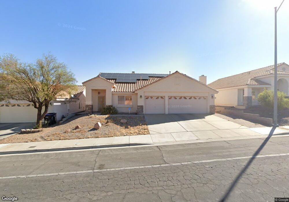
683 W Pacific Ave Henderson, NV 89002
Highland Hills NeighborhoodEstimated Value: $491,000 - $523,000
4
Beds
2
Baths
2,096
Sq Ft
$242/Sq Ft
Est. Value
About This Home
This home is located at 683 W Pacific Ave, Henderson, NV 89002 and is currently estimated at $506,732, approximately $241 per square foot. 683 W Pacific Ave is a home located in Clark County with nearby schools including Fay Galloway Elementary School, Jack & Terry Mannion Middle School, and Foothill High School.
Ownership History
Date
Name
Owned For
Owner Type
Purchase Details
Closed on
Apr 11, 1996
Sold by
Riviera Properties Ltd
Bought by
Forbes Robert E and Forbes Candelaria O
Current Estimated Value
Home Financials for this Owner
Home Financials are based on the most recent Mortgage that was taken out on this home.
Original Mortgage
$101,700
Outstanding Balance
$4,814
Interest Rate
7.41%
Estimated Equity
$501,918
Create a Home Valuation Report for This Property
The Home Valuation Report is an in-depth analysis detailing your home's value as well as a comparison with similar homes in the area
Home Values in the Area
Average Home Value in this Area
Purchase History
| Date | Buyer | Sale Price | Title Company |
|---|---|---|---|
| Forbes Robert E | $156,500 | National Title Company |
Source: Public Records
Mortgage History
| Date | Status | Borrower | Loan Amount |
|---|---|---|---|
| Open | Forbes Robert E | $101,700 |
Source: Public Records
Tax History Compared to Growth
Tax History
| Year | Tax Paid | Tax Assessment Tax Assessment Total Assessment is a certain percentage of the fair market value that is determined by local assessors to be the total taxable value of land and additions on the property. | Land | Improvement |
|---|---|---|---|---|
| 2025 | $2,018 | $104,556 | $29,750 | $74,806 |
| 2024 | $1,959 | $104,556 | $29,750 | $74,806 |
| 2023 | $1,599 | $105,090 | $33,950 | $71,140 |
| 2022 | $1,902 | $95,372 | $30,100 | $65,272 |
| 2021 | $1,847 | $89,908 | $27,650 | $62,258 |
| 2020 | $1,790 | $85,607 | $23,800 | $61,807 |
| 2019 | $1,738 | $82,302 | $21,350 | $60,952 |
| 2018 | $1,687 | $76,686 | $17,850 | $58,836 |
| 2017 | $2,208 | $76,188 | $16,450 | $59,738 |
| 2016 | $1,599 | $69,773 | $9,800 | $59,973 |
| 2015 | $1,595 | $57,239 | $9,800 | $47,439 |
| 2014 | $1,548 | $56,147 | $8,750 | $47,397 |
Source: Public Records
Map
Nearby Homes
- 114 E Tamarack Dr
- 104 Appian Way
- 736 Yellowtail Way
- 722 Barrie Ct
- 204 Cimarron Ct
- 128 Rancho Maderas Way
- 121 E Rancho Dr
- 692 Skyline Rd
- 805 Blue Springs Dr
- 805 Lupine Ct
- 131 Park Ridge Ln
- 815 Sun Bridge Ln
- 307 Balsa St
- 301 E Chaparral Dr
- 730 Descartes Ave
- 719 Descartes Ave
- 110 Mint Orchard Dr
- 385 Cove Ct Unit 2
- 633 Severn St
- 848 Coral Cottage Dr
- 685 W Pacific Ave
- 681 W Pacific Ave
- 102 Aruba Isle Dr
- 687 W Pacific Ave
- 679 W Pacific Ave
- 105 Grantsville Ct
- 104 Grantsville Ct
- 104 Aruba Isle Dr
- 689 W Pacific Ave
- 106 Aruba Isle Dr Unit n/a
- 106 Aruba Isle Dr Unit SFR
- 106 Grantsville Ct
- 691 W Pacific Ave
- 108 Aruba Isle Dr
- 103 Aruba Isle Dr
- 105 Aruba Isle Dr
- 101 Aruba Isle Dr
- 107 Aruba Isle Dr Unit 3
- 108 Grantsville Ct