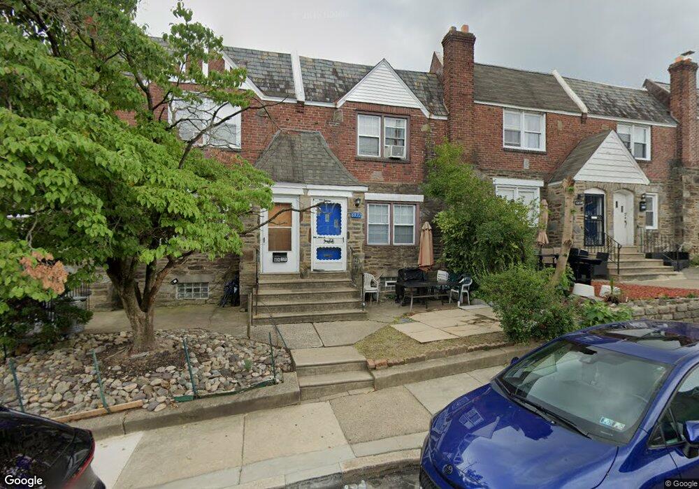
6830 Clover Ln Upper Darby, PA 19082
Estimated Value: $148,000 - $191,000
3
Beds
1
Bath
1,278
Sq Ft
$129/Sq Ft
Est. Value
About This Home
This home is located at 6830 Clover Ln, Upper Darby, PA 19082 and is currently estimated at $164,334, approximately $128 per square foot. 6830 Clover Ln is a home located in Delaware County with nearby schools including Upper Darby High School, Vision Academy Charter School, and Lansdowne Friends School.
Ownership History
Date
Name
Owned For
Owner Type
Purchase Details
Closed on
Jan 28, 2022
Sold by
Mancuso Ruth C
Bought by
Sfr 5 Llc
Current Estimated Value
Purchase Details
Closed on
Sep 27, 2002
Sold by
Hud and Carlson Lewis Arnold
Bought by
Mancuso Ruth C
Purchase Details
Closed on
Jul 5, 2002
Sold by
Citimortgage Inc
Bought by
Hud
Purchase Details
Closed on
Apr 15, 2002
Sold by
Whitsett Michelle D and Robinson Melvin A
Bought by
Citimortgage Inc and Citicorp Mtg Inc
Purchase Details
Closed on
Aug 28, 1998
Sold by
Bloxton David B and Ezzi Bloxton Susan
Bought by
Robinson Melvin A and Whitsett Michelle D
Home Financials for this Owner
Home Financials are based on the most recent Mortgage that was taken out on this home.
Original Mortgage
$64,775
Interest Rate
6.9%
Mortgage Type
FHA
Create a Home Valuation Report for This Property
The Home Valuation Report is an in-depth analysis detailing your home's value as well as a comparison with similar homes in the area
Home Values in the Area
Average Home Value in this Area
Purchase History
| Date | Buyer | Sale Price | Title Company |
|---|---|---|---|
| Sfr 5 Llc | $110,000 | Surety Abstract Services | |
| Mancuso Ruth C | $47,050 | -- | |
| Hud | -- | -- | |
| Citimortgage Inc | -- | -- | |
| Robinson Melvin A | $65,000 | -- |
Source: Public Records
Mortgage History
| Date | Status | Borrower | Loan Amount |
|---|---|---|---|
| Previous Owner | Robinson Melvin A | $64,775 |
Source: Public Records
Tax History Compared to Growth
Tax History
| Year | Tax Paid | Tax Assessment Tax Assessment Total Assessment is a certain percentage of the fair market value that is determined by local assessors to be the total taxable value of land and additions on the property. | Land | Improvement |
|---|---|---|---|---|
| 2025 | $3,651 | $86,320 | $14,700 | $71,620 |
| 2024 | $3,651 | $86,320 | $14,700 | $71,620 |
| 2023 | $3,616 | $86,320 | $14,700 | $71,620 |
| 2022 | $3,519 | $86,320 | $14,700 | $71,620 |
| 2021 | $4,745 | $86,320 | $14,700 | $71,620 |
| 2020 | $3,642 | $56,310 | $18,380 | $37,930 |
| 2019 | $3,579 | $56,310 | $18,380 | $37,930 |
| 2018 | $3,537 | $56,310 | $0 | $0 |
| 2017 | $3,445 | $56,310 | $0 | $0 |
| 2016 | $315 | $56,310 | $0 | $0 |
| 2015 | $315 | $56,310 | $0 | $0 |
| 2014 | $315 | $56,310 | $0 | $0 |
Source: Public Records
Map
Nearby Homes
- 703 Briarcliff Rd
- 6858 Clover Ln
- 607 Briarcliff Rd
- 7000 Greenwood Ave
- 7046 Radbourne Rd
- 6243 Carpenter St
- 6230 Carpenter St
- 6217 Cobbs Creek Pkwy
- 6212 Ellsworth St
- 6202 Ellsworth St
- 7123 Seaford Rd
- 7026 Atlantic Ave
- 7129 Seaford Rd
- 719 Cobbs Creek Pkwy
- 7042 Clinton Rd
- 558 Snowden Rd
- 540 Snowden Rd
- 7162 Radbourne Rd
- 7155 Radbourne Rd
- 726 Copley Rd