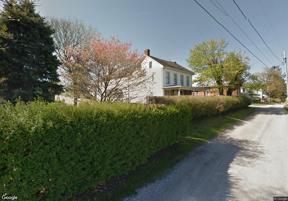
6832 Cannery Ct Spring Grove, PA 17362
Estimated Value: $359,965 - $450,000
6
Beds
5
Baths
4,302
Sq Ft
$93/Sq Ft
Est. Value
About This Home
This home is located at 6832 Cannery Ct, Spring Grove, PA 17362 and is currently estimated at $400,491, approximately $93 per square foot. 6832 Cannery Ct is a home located in York County with nearby schools including Spring Grove Area Middle School, Spring Grove Area High School, and Hope Christian School Of Hanover.
Ownership History
Date
Name
Owned For
Owner Type
Purchase Details
Closed on
Nov 26, 2010
Sold by
Fulton Bank N A
Bought by
Hopple April Lynn
Current Estimated Value
Home Financials for this Owner
Home Financials are based on the most recent Mortgage that was taken out on this home.
Original Mortgage
$148,038
Outstanding Balance
$99,190
Interest Rate
4.5%
Mortgage Type
FHA
Estimated Equity
$301,301
Purchase Details
Closed on
Jul 26, 2010
Sold by
Wallen Anthony L and Wallen Joy L
Bought by
Fulton Bank Na
Create a Home Valuation Report for This Property
The Home Valuation Report is an in-depth analysis detailing your home's value as well as a comparison with similar homes in the area
Purchase History
| Date | Buyer | Sale Price | Title Company |
|---|---|---|---|
| Hopple April Lynn | $125,000 | Stewart Title Guaranty Co-Pa | |
| Fulton Bank Na | $3,115 | None Available |
Source: Public Records
Mortgage History
| Date | Status | Borrower | Loan Amount |
|---|---|---|---|
| Open | Hopple April Lynn | $148,038 |
Source: Public Records
Tax History
| Year | Tax Paid | Tax Assessment Tax Assessment Total Assessment is a certain percentage of the fair market value that is determined by local assessors to be the total taxable value of land and additions on the property. | Land | Improvement |
|---|---|---|---|---|
| 2025 | $5,352 | $159,280 | $42,280 | $117,000 |
| 2024 | $5,295 | $159,280 | $42,280 | $117,000 |
| 2023 | $5,295 | $159,280 | $42,280 | $117,000 |
| 2022 | $5,295 | $159,280 | $42,280 | $117,000 |
| 2021 | $5,068 | $159,280 | $42,280 | $117,000 |
| 2020 | $5,068 | $159,280 | $42,280 | $117,000 |
| 2019 | $4,960 | $159,280 | $42,280 | $117,000 |
| 2018 | $4,894 | $159,280 | $42,280 | $117,000 |
| 2017 | $4,742 | $159,280 | $42,280 | $117,000 |
| 2016 | -- | $159,280 | $42,280 | $117,000 |
| 2015 | $3,227 | $159,280 | $42,280 | $117,000 |
| 2014 | $3,227 | $159,280 | $42,280 | $117,000 |
Source: Public Records
Map
Nearby Homes
- 1975 Smith Station Rd
- 1068 Grandview Rd
- 1063 Porters Rd
- 70 Laurel Dr
- 116 Ruel Ave
- 206 Hall Dr
- 2208 Grandview Rd
- 150 Mumma Ave
- 29 Meadowview Dr
- 101 Overlook Dr
- 6424 Old Hanover Rd
- 712 Spencer Dr
- 76 Coop Ln
- 517 Charles Ave
- 819 8191/2 York St
- 139 Mussetta St
- 621 Spring Ave
- 854 Blossom Dr
- 421 Charles Ave
- 610 Spring Ave
- 6826 Cannery Ct
- 6834 Cannery Ct
- 6838 Cannery Ct
- 6840 Cannery Ct
- 6825 Cannery Rd
- 6825 Cannery Rd
- 6846 Cannery Ct
- 6833 Cannery Rd
- 1898 Smith Station Rd
- 6850 Cannery Rd
- 1910 Smith Station Rd
- 1936 Smith Station Rd
- 1916 Smith Station Rd
- 1887 Smith Station Rd
- 1909 Smith Station Rd
- 1915 Smith Station Rd
- 6829 Cannery Rd
- 1922 Smith Station Rd
- 2162 Yingling Dr
- 6800 Cannery Rd
Your Personal Tour Guide
Ask me questions while you tour the home.