Estimated Value: $287,382 - $520,000
3
Beds
1
Bath
1,564
Sq Ft
$229/Sq Ft
Est. Value
About This Home
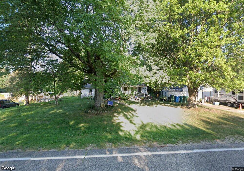
This home is located at 68324 Beebe Rd, Niles, MI 49120 and is currently estimated at $358,346, approximately $229 per square foot. 68324 Beebe Rd is a home located in Cass County with nearby schools including Edwardsburg Primary School, Eagle Lake Elementary School, and Edwardsburg Intermediate School.
Ownership History
Date
Name
Owned For
Owner Type
Purchase Details
Closed on
Nov 19, 2007
Sold by
Deshone Steven and Deshone Cynthia A
Bought by
Ridenour Gordon and Ridenour Deborah
Current Estimated Value
Home Financials for this Owner
Home Financials are based on the most recent Mortgage that was taken out on this home.
Original Mortgage
$109,000
Outstanding Balance
$69,285
Interest Rate
6.47%
Mortgage Type
Purchase Money Mortgage
Estimated Equity
$289,061
Purchase Details
Closed on
Oct 24, 2005
Sold by
Deshone Cynthia A and Estate Of Walker Stephen Stugl
Bought by
Deshone Cynthia A
Create a Home Valuation Report for This Property
The Home Valuation Report is an in-depth analysis detailing your home's value as well as a comparison with similar homes in the area
Purchase History
| Date | Buyer | Sale Price | Title Company |
|---|---|---|---|
| Ridenour Gordon | $109,000 | Mtc | |
| Deshone Cynthia A | -- | -- |
Source: Public Records
Mortgage History
| Date | Status | Borrower | Loan Amount |
|---|---|---|---|
| Open | Ridenour Gordon | $109,000 |
Source: Public Records
Tax History
| Year | Tax Paid | Tax Assessment Tax Assessment Total Assessment is a certain percentage of the fair market value that is determined by local assessors to be the total taxable value of land and additions on the property. | Land | Improvement |
|---|---|---|---|---|
| 2025 | $1,438 | $112,300 | $112,300 | $0 |
| 2024 | $644 | $102,800 | $102,800 | $0 |
| 2023 | $614 | $95,000 | $0 | $0 |
| 2022 | $585 | $78,100 | $0 | $0 |
| 2021 | $1,313 | $65,900 | $0 | $0 |
| 2020 | $1,303 | $66,300 | $0 | $0 |
| 2019 | $1,308 | $64,100 | $0 | $0 |
| 2018 | $538 | $61,800 | $0 | $0 |
| 2017 | $527 | $56,600 | $0 | $0 |
| 2016 | $523 | $55,000 | $0 | $0 |
| 2015 | -- | $56,800 | $0 | $0 |
| 2011 | -- | $46,900 | $0 | $0 |
Source: Public Records
Map
Nearby Homes
- 69388 Brush Trail
- 1002 Leet Rd
- 30417 U S 12
- 70037 Winding Pines Pkwy
- 29750 Edwards Way
- 66741 Conrad Rd
- 2963 Detroit Rd
- 66561 Conrad Rd
- 2561 Lake Shore Dr
- 2671 Mulberry St
- 2529 Lake Shore Dr
- 69535 Turkey Trail Dr
- 68430 Dailey Rd
- 2726 Horton Ct
- 2419 Blanchard Dr
- Tract 4 Dailey Rd
- 14124 Northampton Ct
- 14929 Trail Unit 1
- 26828 W Main St
- 15095 Gossamer Lot 10 Trail Unit 10
Your Personal Tour Guide
Ask me questions while you tour the home.