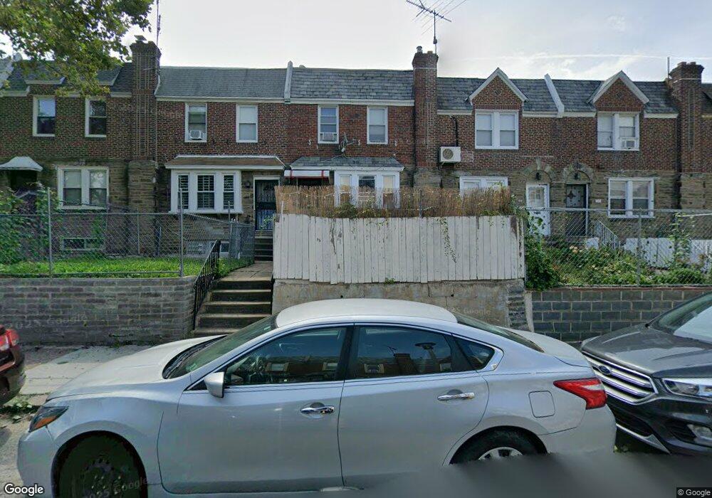
6833 Kindred St Philadelphia, PA 19149
Castor Gardens NeighborhoodEstimated Value: $213,000 - $254,000
3
Beds
1
Bath
1,260
Sq Ft
$179/Sq Ft
Est. Value
About This Home
This home is located at 6833 Kindred St, Philadelphia, PA 19149 and is currently estimated at $226,032, approximately $179 per square foot. 6833 Kindred St is a home located in Philadelphia County with nearby schools including Solomon Solis-Cohen School, Castor Gardens Middle School, and Northeast High School.
Ownership History
Date
Name
Owned For
Owner Type
Purchase Details
Closed on
Sep 1, 2004
Sold by
Toklish Anthony J and Toklish Margaret J
Bought by
Lei Su Lan and Li Xing Hong
Current Estimated Value
Home Financials for this Owner
Home Financials are based on the most recent Mortgage that was taken out on this home.
Original Mortgage
$84,000
Interest Rate
6.01%
Mortgage Type
Unknown
Purchase Details
Closed on
Feb 27, 1998
Sold by
Aerow Marilyn R
Bought by
Toklish Anthony J and Toklish Margaret J
Create a Home Valuation Report for This Property
The Home Valuation Report is an in-depth analysis detailing your home's value as well as a comparison with similar homes in the area
Home Values in the Area
Average Home Value in this Area
Purchase History
| Date | Buyer | Sale Price | Title Company |
|---|---|---|---|
| Lei Su Lan | $120,000 | -- | |
| Toklish Anthony J | $45,300 | -- |
Source: Public Records
Mortgage History
| Date | Status | Borrower | Loan Amount |
|---|---|---|---|
| Closed | Lei Su Lan | $84,000 |
Source: Public Records
Tax History Compared to Growth
Tax History
| Year | Tax Paid | Tax Assessment Tax Assessment Total Assessment is a certain percentage of the fair market value that is determined by local assessors to be the total taxable value of land and additions on the property. | Land | Improvement |
|---|---|---|---|---|
| 2025 | $2,566 | $223,300 | $44,660 | $178,640 |
| 2024 | $2,566 | $223,300 | $44,660 | $178,640 |
| 2023 | $2,566 | $183,300 | $36,660 | $146,640 |
| 2022 | $1,936 | $138,300 | $36,660 | $101,640 |
| 2021 | $1,893 | $0 | $0 | $0 |
| 2020 | $1,893 | $0 | $0 | $0 |
| 2019 | $1,816 | $0 | $0 | $0 |
| 2018 | $1,289 | $0 | $0 | $0 |
| 2017 | $1,709 | $0 | $0 | $0 |
| 2016 | $1,289 | $0 | $0 | $0 |
| 2015 | $1,234 | $0 | $0 | $0 |
| 2014 | -- | $122,100 | $20,017 | $102,083 |
| 2012 | -- | $15,584 | $1,055 | $14,529 |
Source: Public Records
Map
Nearby Homes
- 6829 Horrocks St
- 6826 Sylvester St
- 6834 Large St
- 6827 Lynford St
- 6739 Lynford St
- 7028 Horrocks St
- 7034 Souder St
- 7039 Kindred St
- 7019 Rutland St
- 6640 Souder St
- 6725 Eastwood St
- 7035 Rutland St
- 7050 Lynford St
- 6621 Sylvester St
- 6626 Lynford St
- 6627 Oakland St
- 7123 Souder St
- 2110 Longshore Ave
- 2119 Glenview St
- 1417 Unruh Ave
- 6835 Kindred St
- 6835 Horrocks St
- 6831 Horrocks St
- 6831 Kindred St
- 6837 Horrocks St
- 6837 Kindred St
- 6829 Kindred St
- 6839 Kindred St
- 6827 Kindred St
- 6841 Kindred St
- 6825 Horrocks St
- 6836 Souder St
- 6825 Kindred St
- 6834 Souder St
- 6838 Souder St
- 6840 Souder St
- 6832 Souder St
- 6842 Souder St
- 6830 Souder St
- 6823 Kindred St