6833 Table Rock Rd Central Point, OR 97502
Estimated Value: $344,000 - $573,000
About This Home
This home is located at 6833 Table Rock Rd, Central Point, OR 97502 and is currently estimated at $445,991, approximately $199 per square foot. 6833 Table Rock Rd is a home located in Jackson County with nearby schools including Sams Valley Elementary School, Scenic Middle School, and Crater High School.
Ownership History
We collect this data history from publicly available records. To have your information removed, we recommend requesting removal directly through your county’s website.
Purchase Details
Home Financials for this Owner
Home Financials are based on the most recent Mortgage that was taken out on this home.Purchase History
We collect this data history from publicly available records. To have your information removed, we recommend requesting removal directly through your county’s website.
| Date | Buyer | Sale Price | Title Company |
|---|---|---|---|
| -- | First American |
Mortgage History
We collect this data history from publicly available records. To have your information removed, we recommend requesting removal directly through your county’s website.
| Date | Status | Borrower | Loan Amount |
|---|---|---|---|
| Closed | $125,000 |
Tax History
We collect this data history from publicly available records. To have your information removed, we recommend requesting removal directly through your county’s website.
| Year | Tax Paid | Tax Assessment Tax Assessment Total Assessment is a certain percentage of the fair market value that is determined by local assessors to be the total taxable value of land and additions on the property. | Land | Improvement |
|---|---|---|---|---|
| 2026 | $2,767 | $226,650 | -- | -- |
| 2025 | $2,704 | $220,050 | $18,190 | $201,860 |
| 2024 | $2,704 | $213,650 | $17,660 | $195,990 |
| 2023 | $2,614 | $207,430 | $17,140 | $190,290 |
| 2022 | $2,558 | $207,430 | $17,140 | $190,290 |
| 2021 | $2,485 | $201,390 | $16,640 | $184,750 |
| 2020 | $2,413 | $195,530 | $16,150 | $179,380 |
| 2019 | $2,357 | $184,320 | $15,210 | $169,110 |
| 2018 | $2,284 | $178,960 | $14,760 | $164,200 |
| 2017 | $2,230 | $178,960 | $14,760 | $164,200 |
| 2016 | $2,165 | $168,690 | $13,920 | $154,770 |
| 2015 | $2,065 | $168,690 | $13,920 | $154,770 |
| 2014 | $2,015 | $159,010 | $13,130 | $145,880 |
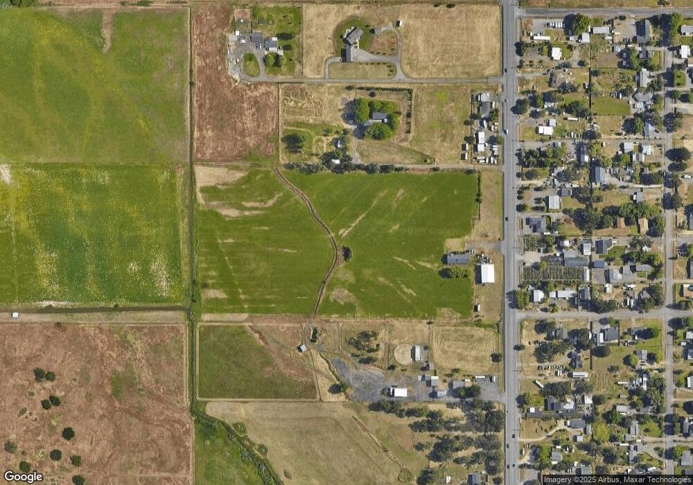
Map
- 380 W Gregory Rd Unit 1
- 380 W Gregory Rd Unit 20
- 380 W Gregory Rd Unit 1
- 6363 Harold Rd
- 594 W Gregory Rd
- 6850 Downing Rd Unit 11
- 6850 Downing Rd Unit SPC 2
- 6850 Downing Rd Unit SPC 31
- 6850 Downing Rd Unit 25
- 6850 Downing Rd Unit SPC 71
- 6850 Downing Rd Unit 24
- 1729 E Gregory Rd
- 5595 Table Rock Rd
- 5900 Peace Ln
- 1745 E Gregory Rd
- 225 Wilson Rd
- 532 Wilson Rd
- 2618 Rabun Way
- 6181 Thistle Ln
- 1917 Bobcat Way
- 25 Laurelhurst St
- 6832 Table Rock Rd
- 6808 Table Rock Rd
- 100 Laurelhurst St
- 57 Laurelhurst St
- 6846 Table Rock Rd
- 6866 Table Rock Rd
- 6704 Table Rock Rd
- 6740 Table Rock Rd
- 106 Laurelhurst St
- 6789 Pinehurst St
- 6769 Pinehurst St
- 6807 Pinehurst St
- 6697 Table Rock Rd
- 6831 Pinehurst St
- 6684 Table Rock Rd
- 6845 Pinehurst St
- 6904 Table Rock Rd
- 6721 Pinehurst St
- 6865 Table Rock Rd
Ask me questions while you tour the home.