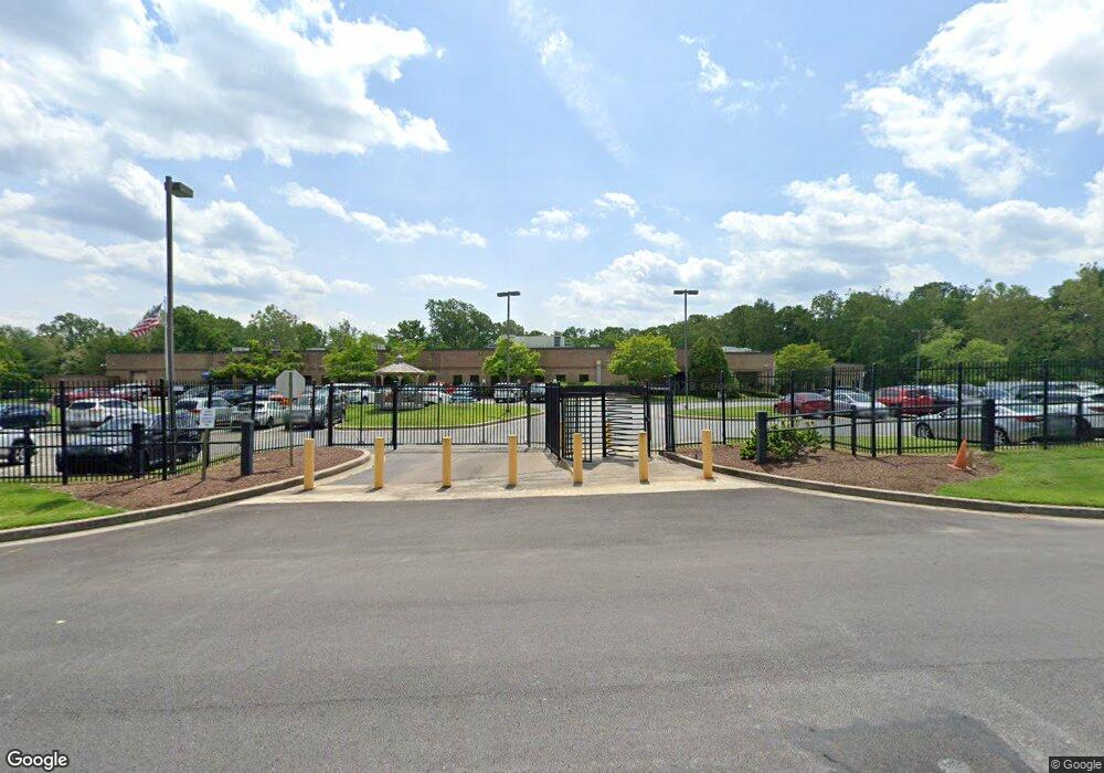
6835 Deerpath Rd Elkridge, MD 21075
Estimated Value: $13,023,992
--
Bed
--
Bath
63,842
Sq Ft
$204/Sq Ft
Est. Value
About This Home
This home is located at 6835 Deerpath Rd, Elkridge, MD 21075 and is currently estimated at $13,023,992, approximately $204 per square foot. 6835 Deerpath Rd is a home located in Howard County with nearby schools including Hanover Hills Elementary, Thomas Viaduct Middle School, and Oakland Mills High School.
Ownership History
Date
Name
Owned For
Owner Type
Purchase Details
Closed on
Nov 1, 1998
Sold by
B W Parkway Partnership
Bought by
Brit & 6835 Deerpath Llc
Current Estimated Value
Purchase Details
Closed on
Aug 22, 1991
Sold by
Dorsey Business Ctr Ltd Partsp
Bought by
B W Parkway Partnership
Home Financials for this Owner
Home Financials are based on the most recent Mortgage that was taken out on this home.
Original Mortgage
$2,751,017
Interest Rate
9.19%
Create a Home Valuation Report for This Property
The Home Valuation Report is an in-depth analysis detailing your home's value as well as a comparison with similar homes in the area
Home Values in the Area
Average Home Value in this Area
Purchase History
| Date | Buyer | Sale Price | Title Company |
|---|---|---|---|
| Brit & 6835 Deerpath Llc | $3,800,000 | -- | |
| B W Parkway Partnership | $3,830,000 | -- |
Source: Public Records
Mortgage History
| Date | Status | Borrower | Loan Amount |
|---|---|---|---|
| Previous Owner | B W Parkway Partnership | $2,751,017 |
Source: Public Records
Tax History Compared to Growth
Tax History
| Year | Tax Paid | Tax Assessment Tax Assessment Total Assessment is a certain percentage of the fair market value that is determined by local assessors to be the total taxable value of land and additions on the property. | Land | Improvement |
|---|---|---|---|---|
| 2025 | $192,783 | $12,538,000 | $1,514,200 | $11,023,800 |
| 2024 | $192,783 | $12,538,000 | $1,514,200 | $11,023,800 |
| 2023 | $184,902 | $12,538,000 | $1,514,200 | $11,023,800 |
| 2022 | $168,433 | $11,391,867 | $0 | $0 |
| 2021 | $151,964 | $10,245,733 | $0 | $0 |
| 2020 | $135,495 | $9,099,600 | $1,514,200 | $7,585,400 |
| 2019 | $125,978 | $8,736,367 | $0 | $0 |
| 2018 | $120,062 | $8,373,133 | $0 | $0 |
| 2017 | $115,633 | $8,009,900 | $0 | $0 |
| 2016 | -- | $7,887,933 | $0 | $0 |
| 2015 | -- | $7,765,967 | $0 | $0 |
| 2014 | -- | $7,644,000 | $0 | $0 |
Source: Public Records
Map
Nearby Homes
- 7140 Ohio Ave
- 7147 Ohio Ave
- 7505 Ledgers Way
- 7583 Marston Way
- 7020 Foxton Way
- 7105 Druce Way
- 7103 Elmthorpe Way
- 7120 Beaumont Place
- 7143 Beaumont Place Unit B
- 6609 Latrobe Falls
- 7107 Littlemore Way
- 6614 Latrobe Falls
- 6625 Latrobe Falls Unit 88
- 7021 Southmoor St
- 1749 Maple Ave
- 7029 Southmoor St
- 6716 Cozy Ln
- 1704 Copperleaf Blvd
- Brentwood Plan at Copperleaf
- Dover Craftsman Plan at Copperleaf
- 6900 Dorsey Rd
- 6855 Deerpath Rd
- 6845 Deerpath Rd
- 883 Lennox Ave
- 879 Lennox Ave
- 6880 Dorsey Rd
- 6875 Dorsey Rd
- 6908 Magnolia Ave
- 6901 Magnolia Ave
- 6874 Dorsey Rd
- 6937 Dorsey Rd
- 6872 Dorsey Rd
- 6905 Magnolia Ave
- 6801 Douglas Legum Dr Unit D
- 6801 Douglas Legum Dr Unit 120
- 6801 Douglas Legum Dr Unit 105
- 6801 Douglas Legum Dr Unit C
- 6801 Douglas Legum Dr Unit 130
- 6801 Douglas Legum Dr Unit 115
- 6801 Douglas Legum Dr Unit 1