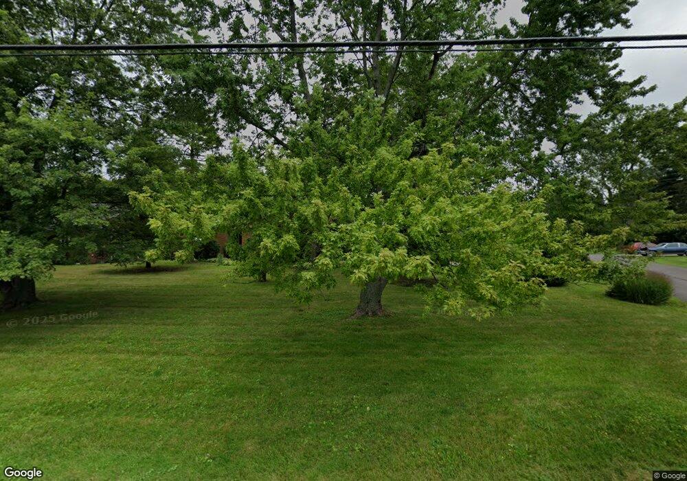
6835 Smith Rd Middleburg Heights, OH 44130
Estimated Value: $276,582 - $305,000
3
Beds
1
Bath
2,036
Sq Ft
$145/Sq Ft
Est. Value
About This Home
This home is located at 6835 Smith Rd, Middleburg Heights, OH 44130 and is currently estimated at $294,896, approximately $144 per square foot. 6835 Smith Rd is a home located in Cuyahoga County with nearby schools including Big Creek Elementary School, Berea-Midpark Middle School, and Berea-Midpark High School.
Ownership History
Date
Name
Owned For
Owner Type
Purchase Details
Closed on
Jul 14, 2005
Sold by
Chiapetta John M and Chiapetta Gloria J
Bought by
Kiml Frederick
Current Estimated Value
Home Financials for this Owner
Home Financials are based on the most recent Mortgage that was taken out on this home.
Original Mortgage
$141,200
Outstanding Balance
$73,851
Interest Rate
5.69%
Mortgage Type
Fannie Mae Freddie Mac
Estimated Equity
$221,045
Purchase Details
Closed on
Dec 19, 1986
Sold by
Shiffer Frank
Bought by
Chiapetta John M
Purchase Details
Closed on
Jan 1, 1975
Bought by
Shiffer Frank and Shiffer Edna C
Create a Home Valuation Report for This Property
The Home Valuation Report is an in-depth analysis detailing your home's value as well as a comparison with similar homes in the area
Home Values in the Area
Average Home Value in this Area
Purchase History
| Date | Buyer | Sale Price | Title Company |
|---|---|---|---|
| Kiml Frederick | $176,500 | Land Title Agency | |
| Chiapetta John M | -- | -- | |
| Shiffer Frank | $80,000 | -- | |
| Shiffer Frank | -- | -- |
Source: Public Records
Mortgage History
| Date | Status | Borrower | Loan Amount |
|---|---|---|---|
| Open | Kiml Frederick | $141,200 | |
| Closed | Kiml Frederick | $26,475 |
Source: Public Records
Tax History Compared to Growth
Tax History
| Year | Tax Paid | Tax Assessment Tax Assessment Total Assessment is a certain percentage of the fair market value that is determined by local assessors to be the total taxable value of land and additions on the property. | Land | Improvement |
|---|---|---|---|---|
| 2024 | $4,455 | $82,600 | $16,590 | $66,010 |
| 2023 | $4,201 | $64,230 | $17,570 | $46,660 |
| 2022 | $4,173 | $64,230 | $17,570 | $46,660 |
| 2021 | $4,151 | $64,230 | $17,570 | $46,660 |
| 2020 | $3,944 | $53,520 | $14,630 | $38,890 |
| 2019 | $3,835 | $152,900 | $41,800 | $111,100 |
| 2018 | $3,587 | $53,520 | $14,630 | $38,890 |
| 2017 | $3,609 | $46,490 | $11,870 | $34,620 |
| 2016 | $3,582 | $46,490 | $11,870 | $34,620 |
| 2015 | $3,380 | $46,490 | $11,870 | $34,620 |
| 2014 | $3,380 | $46,490 | $11,870 | $34,620 |
Source: Public Records
Map
Nearby Homes
- 6771 Wood Creek Dr
- 6943 N Parkway Dr Unit H6943
- 6566 Elmdale Rd
- 13689 Pineview Ct
- 6749 Middlebrook Blvd
- 6359 Middlebrook Blvd
- 13879 Zaremba Dr
- 6491 Smith Rd
- 13931 Franklyn Blvd
- 15446 Sheldon Rd
- 6736 Rockridge Ct
- 6710 Woodruff Ct
- 6736 Columbine Ct
- 13971 Park Dr
- 6809 Meadow Ln
- 15983 Galemore Dr
- 6212 Elmdale Rd
- 6330 Michael Dr
- 6470 Sandfield Dr
- 14750 Seneca Trail
- 6829 Smith Rd
- 6841 Smith Rd
- 6825 Smith Rd
- 6832 Smith Rd
- 14240 Sunnyside Dr
- 6845 Smith Rd
- 6828 Smith Rd
- 6834 Smith Rd
- 6819 Smith Rd
- 6824 Smith Rd
- S/L 15 St Andrews Ct
- S/L 17 St Andrews Ct
- S/L 1 St Andrews Ct
- 6838 Smith Rd
- 6849 Smith Rd
- 14215 Sunnyside Dr
- 6846 Smith Rd
- 6842 Smith Rd
- 14180 Sunnyside Dr
- 6853 Smith Rd
