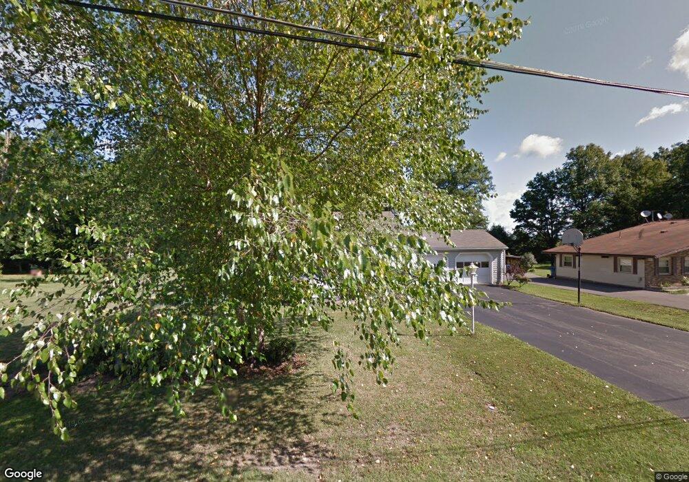
6837 Grove St Brookfield, OH 44403
Estimated Value: $150,000 - $203,000
3
Beds
2
Baths
1,029
Sq Ft
$163/Sq Ft
Est. Value
About This Home
This home is located at 6837 Grove St, Brookfield, OH 44403 and is currently estimated at $167,429, approximately $162 per square foot. 6837 Grove St is a home located in Trumbull County with nearby schools including Brookfield Elementary School, Brookfield Middle School, and Brookfield High School.
Ownership History
Date
Name
Owned For
Owner Type
Purchase Details
Closed on
May 14, 2003
Sold by
Raykie Joseph P
Bought by
Raykie Rita
Current Estimated Value
Purchase Details
Closed on
Jan 1, 1990
Bought by
Joseph P Raykie
Create a Home Valuation Report for This Property
The Home Valuation Report is an in-depth analysis detailing your home's value as well as a comparison with similar homes in the area
Home Values in the Area
Average Home Value in this Area
Purchase History
| Date | Buyer | Sale Price | Title Company |
|---|---|---|---|
| Raykie Rita | -- | -- | |
| Joseph P Raykie | -- | -- |
Source: Public Records
Tax History Compared to Growth
Tax History
| Year | Tax Paid | Tax Assessment Tax Assessment Total Assessment is a certain percentage of the fair market value that is determined by local assessors to be the total taxable value of land and additions on the property. | Land | Improvement |
|---|---|---|---|---|
| 2024 | $2,410 | $40,290 | $7,250 | $33,040 |
| 2023 | $2,410 | $40,290 | $7,250 | $33,040 |
| 2022 | $2,148 | $28,070 | $6,720 | $21,350 |
| 2021 | $2,047 | $28,070 | $6,720 | $21,350 |
| 2020 | $2,038 | $28,070 | $6,720 | $21,350 |
| 2019 | $1,989 | $25,310 | $6,230 | $19,080 |
| 2018 | $1,976 | $25,310 | $6,230 | $19,080 |
| 2017 | $1,975 | $25,310 | $6,230 | $19,080 |
| 2016 | $2,066 | $25,910 | $6,270 | $19,640 |
| 2015 | $2,068 | $25,910 | $6,270 | $19,640 |
| 2014 | $2,061 | $25,910 | $6,270 | $19,640 |
| 2013 | $2,118 | $27,380 | $6,270 | $21,110 |
Source: Public Records
Map
Nearby Homes
- 7086 Warren Sharon Rd
- 7085 Sunnydell Dr
- 209 Wyngate Dr
- 7290 Lee Rd NE
- 887 State Route 7 SE
- 1212 State Route 7 NE
- 6855 Stewart Sharon Rd
- 6130 Warren Sharon Rd
- 928 Bedford Rd
- 7182 Stewart Sharon Rd
- 7440 Stewart Sharon Rd
- 872 Yankee Run Rd
- 0 Albright McKay Rd NE
- 1370 Custer Orangeville Rd
- 365 Brookfield Ave
- 1354 Stevenson Rd
- 6976 White Oak Dr
- 550 Warner Rd
- 609 Syme St
- 545 & 625 Davis St
- 6827 Grove St
- 6847 Grove St
- 6817 Grove St
- 6855 Grove St
- 6832 Grove St
- 6842 Grove St
- 6824 Warren Sharon Rd
- 6824 Grove St
- 6803 Grove St
- 6834 Warren Sharon Rd
- 379 Seaburn St
- 6810 Grove St
- 6850 Warren Sharon Rd
- 6812 Warren Sharon Rd
- 6874 Grove St
- 6862 Warren Sharon Rd
- 6800 Grove St
- 6874 Warren Sharon Rd
- 6790 Grove St
- 6825 Wood St