6837 Highway 2 Epworth, GA 30541
Estimated Value: $386,000 - $463,000
--
Bed
2
Baths
728
Sq Ft
$573/Sq Ft
Est. Value
About This Home
This home is located at 6837 Highway 2, Epworth, GA 30541 and is currently estimated at $417,000, approximately $572 per square foot. 6837 Highway 2 is a home with nearby schools including Fannin County High School.
Ownership History
Date
Name
Owned For
Owner Type
Purchase Details
Closed on
Jul 23, 1998
Sold by
Pape Danette T
Bought by
Cook Ann Stacie
Current Estimated Value
Purchase Details
Closed on
Apr 13, 1998
Sold by
Pape David P
Bought by
Pape Danette T
Purchase Details
Closed on
Jul 2, 1996
Sold by
Richardson C B
Bought by
Pape David P
Purchase Details
Closed on
Aug 17, 1988
Bought by
Richardson Richardson C and Richardson Etty
Create a Home Valuation Report for This Property
The Home Valuation Report is an in-depth analysis detailing your home's value as well as a comparison with similar homes in the area
Home Values in the Area
Average Home Value in this Area
Purchase History
| Date | Buyer | Sale Price | Title Company |
|---|---|---|---|
| Cook Ann Stacie | $87,000 | -- | |
| Pape Danette T | -- | -- | |
| Pape David P | $68,000 | -- | |
| Richardson Richardson C | $54,000 | -- |
Source: Public Records
Tax History Compared to Growth
Tax History
| Year | Tax Paid | Tax Assessment Tax Assessment Total Assessment is a certain percentage of the fair market value that is determined by local assessors to be the total taxable value of land and additions on the property. | Land | Improvement |
|---|---|---|---|---|
| 2024 | $805 | $87,815 | $19,846 | $67,969 |
| 2023 | $755 | $74,018 | $19,846 | $54,172 |
| 2022 | $763 | $74,838 | $19,846 | $54,992 |
| 2021 | $512 | $36,508 | $11,232 | $25,276 |
| 2020 | $520 | $36,508 | $11,232 | $25,276 |
| 2019 | $531 | $36,508 | $11,232 | $25,276 |
| 2018 | $562 | $36,508 | $11,232 | $25,276 |
| 2017 | $652 | $36,842 | $11,232 | $25,610 |
| 2016 | $491 | $28,938 | $11,232 | $17,706 |
| 2015 | $518 | $29,177 | $11,232 | $17,945 |
| 2014 | $1,158 | $65,324 | $40,184 | $25,140 |
| 2013 | -- | $58,031 | $40,184 | $17,847 |
Source: Public Records
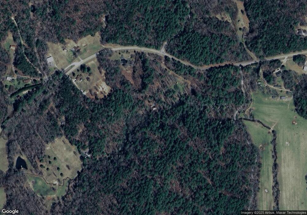
Map
Nearby Homes
- 6460 Highway 2
- 28.65 AC Jolley Way
- 28 AC Jolley Way
- 0 Menagerie Ridge
- 126 Walter Mountain Dr
- Tract 2 Emmaus Rd
- 739 Big Sky Trail
- 101 Menagerie Ridge
- 463 Big Sky Trail Unit 15,16,17
- 463 Big Sky Trail
- 400 Cloudland Trace
- 1056 Jolley Way
- 370 High Ridge Rd
- 550 Watson Rd
- 474 Buck Creek Trail
- 85 Foster Cove Rd
- 244 Indian Ridge Rd
- 56 Devils Den Overlook
- 6865 Highway 2
- 28.65 Jolley Way
- 6602 Highway 2
- 6991 Highway 2
- 6894 Highway 2
- 70 Lottie Ln
- 6541 Highway 2
- 6541 Highway 2
- 975 Colwell Church Rd
- 870 Colwell Church Rd
- 870 Colwell Church Rd Unit LOT 1
- 0 Colwell Church Rd Unit 307334
- 0 Colwell Church Rd Unit 8812609
- 739 Big Sky Trail
- 101 Lottie Ln
- 101 Lottie Ln
- 6960 Highway 2
- 15 ACS Jolley Way
- 15AC Jolley Way
- 111 Jolley Way