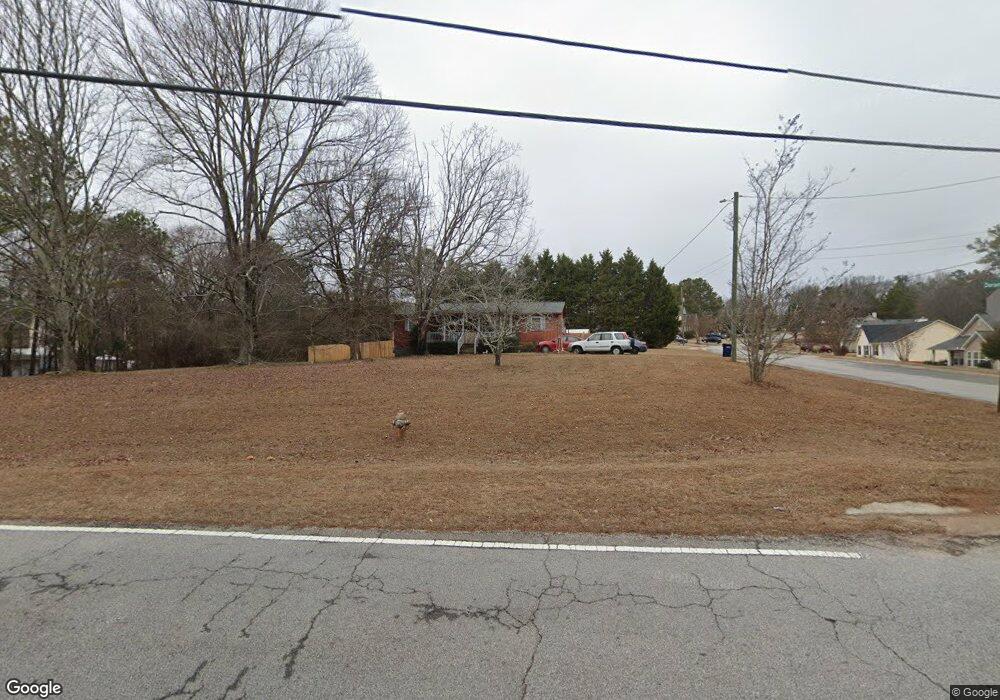
6838 Dorsett Shoals Rd Douglasville, GA 30135
Bill Arp NeighborhoodEstimated Value: $195,000 - $307,000
3
Beds
1
Bath
1,296
Sq Ft
$182/Sq Ft
Est. Value
About This Home
This home is located at 6838 Dorsett Shoals Rd, Douglasville, GA 30135 and is currently estimated at $235,302, approximately $181 per square foot. 6838 Dorsett Shoals Rd is a home located in Douglas County with nearby schools including Bill Arp Elementary School, Yeager Middle School, and Alexander High School.
Ownership History
Date
Name
Owned For
Owner Type
Purchase Details
Closed on
Mar 10, 2003
Sold by
Wood Newton C
Bought by
Wood Newton C and Wood Patricia
Current Estimated Value
Home Financials for this Owner
Home Financials are based on the most recent Mortgage that was taken out on this home.
Original Mortgage
$71,000
Outstanding Balance
$30,389
Interest Rate
5.82%
Mortgage Type
New Conventional
Estimated Equity
$204,913
Create a Home Valuation Report for This Property
The Home Valuation Report is an in-depth analysis detailing your home's value as well as a comparison with similar homes in the area
Home Values in the Area
Average Home Value in this Area
Purchase History
| Date | Buyer | Sale Price | Title Company |
|---|---|---|---|
| Wood Newton C | -- | -- |
Source: Public Records
Mortgage History
| Date | Status | Borrower | Loan Amount |
|---|---|---|---|
| Open | Wood Newton C | $71,000 |
Source: Public Records
Tax History Compared to Growth
Tax History
| Year | Tax Paid | Tax Assessment Tax Assessment Total Assessment is a certain percentage of the fair market value that is determined by local assessors to be the total taxable value of land and additions on the property. | Land | Improvement |
|---|---|---|---|---|
| 2024 | $360 | $44,880 | $14,680 | $30,200 |
| 2023 | $360 | $44,880 | $14,680 | $30,200 |
| 2022 | $264 | $37,840 | $11,280 | $26,560 |
| 2021 | $264 | $31,200 | $11,280 | $19,920 |
| 2020 | $264 | $31,200 | $11,280 | $19,920 |
| 2019 | $215 | $30,720 | $11,280 | $19,440 |
| 2018 | $215 | $29,880 | $11,280 | $18,600 |
| 2017 | $212 | $27,720 | $11,280 | $16,440 |
| 2016 | $183 | $24,240 | $10,160 | $14,080 |
| 2015 | $205 | $22,280 | $10,040 | $12,240 |
| 2014 | $205 | $24,880 | $13,120 | $11,760 |
| 2013 | -- | $24,760 | $13,120 | $11,640 |
Source: Public Records
Map
Nearby Homes
- 0 Dorsett Shoals Rd Unit 20170850
- 0 Dorsett Shoals Rd Unit 7336228
- 6797 Greenoak Dr
- 6883 Lakeshore Dr
- 6851 Alexander Pkwy
- 6755 Alexander Pkwy
- 6867 Laurelwood Dr
- 3949 Georgia 5
- 0 Big a Rd Unit 20169908
- 6560 Chickasaw Dr
- 4450 Poplar Ct Unit 3
- 7131 Banks Mill Rd
- 4430 Poplar Ct
- 7215 Colony Ln
- 6441 Michell Way
- 5181 Kilroy Ln
- 6374 Dorsett Shoals Rd
- 6590 Manor Creek Dr
- 4801 Pauline Rd
- 6860 Dorsett Shoals Rd
- 4810 Pauline Rd
- 4845 Panola Ct
- 0 Pauline Rd Unit 7032517
- 0 Pauline Rd Unit 8897718
- 0 Pauline Rd Unit 8514761
- 0 Pauline Rd Unit 7641312
- 0 Pauline Rd Unit 7639467
- 0 Pauline Rd Unit 7540563
- 0 Pauline Rd Unit 7458842
- 0 Pauline Rd
- 4791 Pauline Rd
- 4800 Pauline Rd
- 0 Panola Ct Unit 3235752
- 0 Panola Ct Unit 8520039
- 4855 Panola Ct
- 6778 Dorsett Shoals Rd
- 4790 Pauline Rd
- 4840 Panola Ct