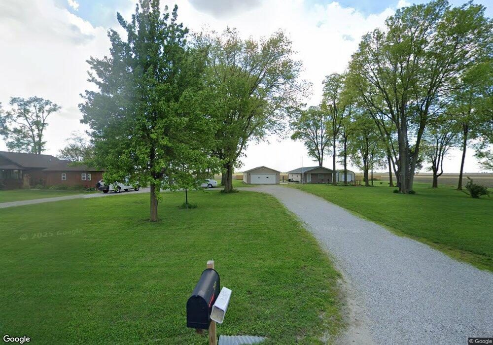
6839 Dole Rd Mattoon, IL 61938
Estimated Value: $179,000 - $224,000
1
Bed
1
Bath
1,176
Sq Ft
$177/Sq Ft
Est. Value
About This Home
This home is located at 6839 Dole Rd, Mattoon, IL 61938 and is currently estimated at $207,910, approximately $176 per square foot. 6839 Dole Rd is a home located in Coles County with nearby schools including Mattoon High School, St Mary School, and Heritage Baptist Academy.
Ownership History
Date
Name
Owned For
Owner Type
Purchase Details
Closed on
May 6, 2023
Sold by
Banning James Shawn
Bought by
Johnson Jamie
Current Estimated Value
Home Financials for this Owner
Home Financials are based on the most recent Mortgage that was taken out on this home.
Original Mortgage
$151,600
Outstanding Balance
$147,331
Interest Rate
6.32%
Mortgage Type
New Conventional
Estimated Equity
$60,579
Purchase Details
Closed on
Oct 15, 2009
Sold by
Carpenter Robert and Carpenter Tammy
Bought by
Banning James and Ballinger Rebecca
Create a Home Valuation Report for This Property
The Home Valuation Report is an in-depth analysis detailing your home's value as well as a comparison with similar homes in the area
Home Values in the Area
Average Home Value in this Area
Purchase History
| Date | Buyer | Sale Price | Title Company |
|---|---|---|---|
| Johnson Jamie | $189,500 | None Listed On Document | |
| Banning James | $14,000 | None Available |
Source: Public Records
Mortgage History
| Date | Status | Borrower | Loan Amount |
|---|---|---|---|
| Open | Johnson Jamie | $151,600 |
Source: Public Records
Tax History Compared to Growth
Tax History
| Year | Tax Paid | Tax Assessment Tax Assessment Total Assessment is a certain percentage of the fair market value that is determined by local assessors to be the total taxable value of land and additions on the property. | Land | Improvement |
|---|---|---|---|---|
| 2024 | $2,153 | $39,116 | $4,600 | $34,516 |
| 2023 | $2,373 | $34,925 | $4,107 | $30,818 |
| 2022 | -- | $34,348 | $4,039 | $30,309 |
| 2021 | -- | $31,550 | $3,710 | $27,840 |
| 2020 | $1,304 | $32,689 | $3,844 | $28,845 |
| 2019 | $1,304 | $31,550 | $3,710 | $27,840 |
| 2018 | $1,304 | $31,550 | $3,710 | $27,840 |
| 2017 | $1,304 | $31,550 | $3,710 | $27,840 |
| 2016 | $1,281 | $31,550 | $3,710 | $27,840 |
| 2015 | $441 | $31,550 | $3,710 | $27,840 |
| 2014 | $441 | $29,220 | $3,710 | $25,510 |
| 2013 | $441 | $13,806 | $3,710 | $10,096 |
Source: Public Records
Map
Nearby Homes
- 3512 Walnut Ave
- 421 Parkview Ave
- 3304 Marion Ave
- 3216 Western Ave
- 3324 Shelby Ave
- 3105 Marshall Ave
- 2921 Oak Ave
- 3105 Champaign Ave
- 3000 Western Ave
- 2913 Champaign Ave
- 2801 Commercial Ave
- 2808 Western Ave
- 2921 Moultrie Ave
- 2808 Prairie Ave
- 9 Joan Marie Dr
- 1117 N 32nd St
- 2808 Champaign Ave
- 2720 Champaign Ave
- 2713 Moultrie Ave
- 2505 Pine Ave