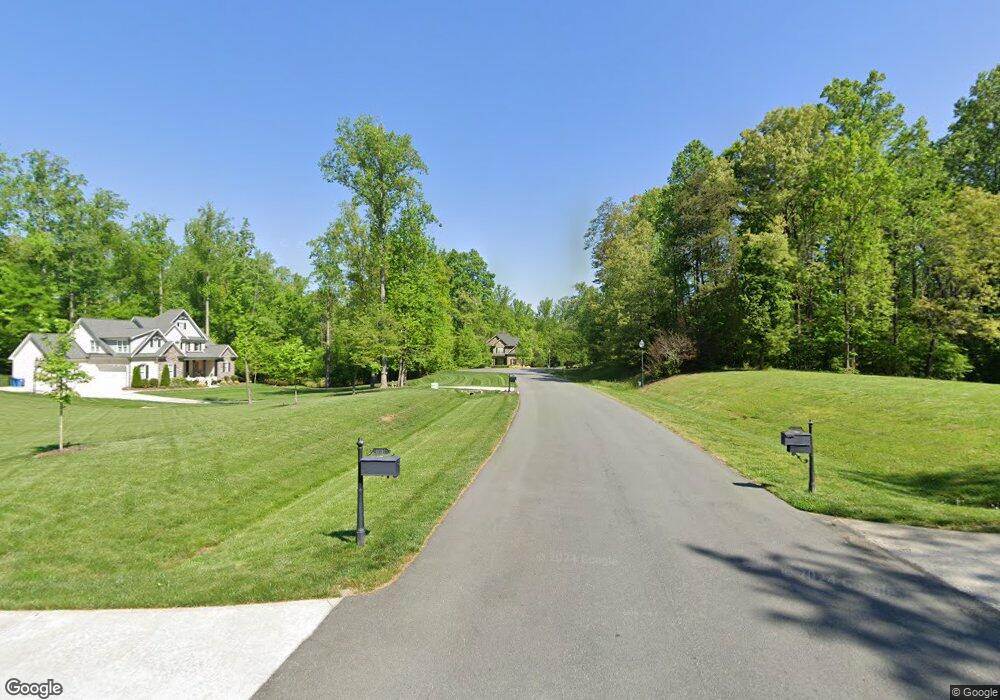
6839 Trace Dr Browns Summit, NC 27214
Estimated Value: $636,721 - $734,000
3
Beds
3
Baths
3,125
Sq Ft
$218/Sq Ft
Est. Value
About This Home
This home is located at 6839 Trace Dr, Browns Summit, NC 27214 and is currently estimated at $680,180, approximately $217 per square foot. 6839 Trace Dr is a home located in Guilford County with nearby schools including Ronald E. McNair Elementary School, Northern Guilford Middle School, and Northern Guilford High School.
Ownership History
Date
Name
Owned For
Owner Type
Purchase Details
Closed on
Jul 30, 2014
Sold by
R&K Investment Properties Inc
Bought by
Sulllivan John Hampton and Sulllivan Lisa Nanette
Current Estimated Value
Home Financials for this Owner
Home Financials are based on the most recent Mortgage that was taken out on this home.
Original Mortgage
$394,250
Outstanding Balance
$301,176
Interest Rate
4.16%
Mortgage Type
New Conventional
Estimated Equity
$379,005
Purchase Details
Closed on
Feb 27, 2013
Bought by
Rk Investment Properties Inc
Purchase Details
Closed on
Nov 28, 2012
Bought by
Sbc Iv Reo Llc
Purchase Details
Closed on
Oct 25, 2005
Bought by
Otey Construction Inc
Create a Home Valuation Report for This Property
The Home Valuation Report is an in-depth analysis detailing your home's value as well as a comparison with similar homes in the area
Home Values in the Area
Average Home Value in this Area
Purchase History
| Date | Buyer | Sale Price | Title Company |
|---|---|---|---|
| Sulllivan John Hampton | $415,000 | None Available | |
| Rk Investment Properties Inc | $250,000 | -- | |
| Sbc Iv Reo Llc | $379,000 | -- | |
| Otey Construction Inc | $1,292,000 | -- |
Source: Public Records
Mortgage History
| Date | Status | Borrower | Loan Amount |
|---|---|---|---|
| Open | Sulllivan John Hampton | $394,250 |
Source: Public Records
Tax History Compared to Growth
Tax History
| Year | Tax Paid | Tax Assessment Tax Assessment Total Assessment is a certain percentage of the fair market value that is determined by local assessors to be the total taxable value of land and additions on the property. | Land | Improvement |
|---|---|---|---|---|
| 2025 | $4,070 | $457,100 | $80,000 | $377,100 |
| 2024 | $4,070 | $457,100 | $80,000 | $377,100 |
| 2023 | $4,070 | $457,100 | $80,000 | $377,100 |
| 2022 | $3,911 | $457,100 | $80,000 | $377,100 |
| 2021 | $3,535 | $413,100 | $65,000 | $348,100 |
| 2020 | $3,535 | $413,100 | $65,000 | $348,100 |
| 2019 | $3,535 | $413,100 | $0 | $0 |
| 2018 | $3,517 | $413,100 | $0 | $0 |
| 2017 | $3,517 | $413,100 | $0 | $0 |
| 2016 | $3,527 | $398,500 | $0 | $0 |
| 2015 | $3,547 | $398,500 | $0 | $0 |
| 2014 | $405 | $45,000 | $0 | $0 |
Source: Public Records
Map
Nearby Homes
- 00 N Church St
- 116 Ariel Farm Rd
- ABERDEEN Plan at Cedar Oaks
- GEORGETOWN Plan at Cedar Oaks
- COLUMBIA Plan at Cedar Oaks
- HAYDEN Plan at Cedar Oaks
- WILMINGTON Plan at Cedar Oaks
- 6905 Wicklow Dr
- 204 Fosseway Dr
- 1911 Northbay Dr
- 469 Justamere Farm Rd
- 808 Blue Moon Ct
- 6019 Stone Valley Way
- 6097 Brixham Dr
- 5222 N Church St Unit B
- 5222 N Church St Unit A
- 5222 N Church St Unit D
- 5222 N Church St Unit E
- 5222 N Church St Unit C
- 406 Fairmile Dr
- 6835 Trace Dr
- 6830 Trace Dr
- 6826 Trace Dr
- 6831 Trace Dr
- 6822 Trace Dr
- 5546 N Church St
- 6825 Trevor Dr
- 6827 Trace Dr
- 6818 Trace Dr
- 7115 Rae Farms Way
- 7111 Rae Farms Way
- 7113 Rae Farms Way
- 7117 Rae Farms Way
- 6823 Trace Dr
- 6826 Trevor Dr
- 6814 Trace Dr
- 5538 N Church St
- 6821 Trevor Dr
- 7119 Rae Farms Way
- 7109 Rae Farms Way