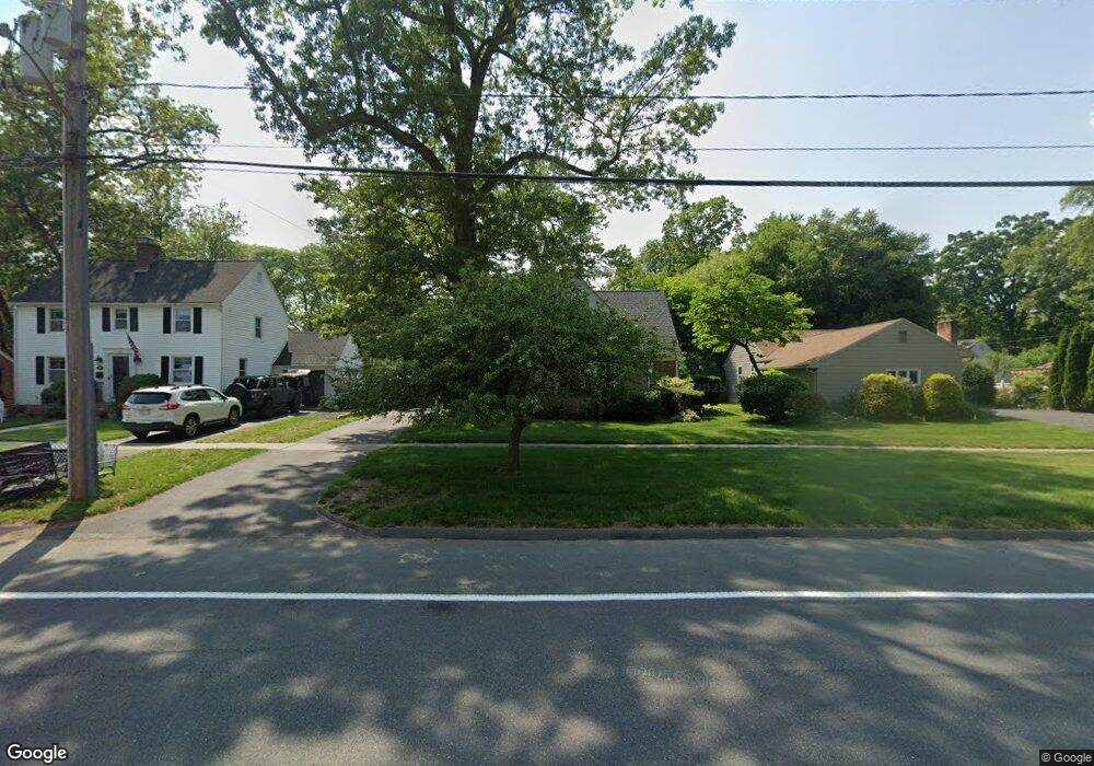
684 Laurel St Longmeadow, MA 01106
Estimated Value: $508,992 - $571,000
3
Beds
3
Baths
2,575
Sq Ft
$212/Sq Ft
Est. Value
About This Home
This home is located at 684 Laurel St, Longmeadow, MA 01106 and is currently estimated at $545,498, approximately $211 per square foot. 684 Laurel St is a home located in Hampden County with nearby schools including Center Elementary School, Williams Middle School, and Longmeadow High School.
Ownership History
Date
Name
Owned For
Owner Type
Purchase Details
Closed on
Dec 13, 2013
Sold by
Barkett Robert E and Barkett Edward J
Bought by
Barkett Anthony P
Current Estimated Value
Purchase Details
Closed on
Dec 6, 2010
Sold by
Ekmalian Michael and Ekmalian Roberta
Bought by
Barkett Robert Edward and Barkett Edward John
Purchase Details
Closed on
May 31, 2007
Sold by
Siegel John L and Siegel Sharon S
Bought by
Ekmalian Michael and Ekmalian Roberta
Purchase Details
Closed on
Aug 31, 1987
Sold by
Faith United Church
Bought by
Siegel John L
Home Financials for this Owner
Home Financials are based on the most recent Mortgage that was taken out on this home.
Original Mortgage
$150,300
Interest Rate
10.24%
Mortgage Type
Purchase Money Mortgage
Create a Home Valuation Report for This Property
The Home Valuation Report is an in-depth analysis detailing your home's value as well as a comparison with similar homes in the area
Home Values in the Area
Average Home Value in this Area
Purchase History
| Date | Buyer | Sale Price | Title Company |
|---|---|---|---|
| Barkett Anthony P | -- | -- | |
| Barkett Robert Edward | -- | -- | |
| Ekmalian Michael | $295,000 | -- | |
| Siegel John L | $167,000 | -- |
Source: Public Records
Mortgage History
| Date | Status | Borrower | Loan Amount |
|---|---|---|---|
| Previous Owner | Siegel John L | $250,000 | |
| Previous Owner | Siegel John L | $50,000 | |
| Previous Owner | Siegel John L | $145,300 | |
| Previous Owner | Siegel John L | $150,300 |
Source: Public Records
Tax History
| Year | Tax Paid | Tax Assessment Tax Assessment Total Assessment is a certain percentage of the fair market value that is determined by local assessors to be the total taxable value of land and additions on the property. | Land | Improvement |
|---|---|---|---|---|
| 2025 | $9,166 | $434,000 | $150,300 | $283,700 |
| 2024 | $8,975 | $434,000 | $150,300 | $283,700 |
| 2023 | $8,499 | $370,800 | $129,400 | $241,400 |
| 2022 | $8,119 | $329,500 | $129,400 | $200,100 |
| 2021 | $7,744 | $313,000 | $123,300 | $189,700 |
| 2020 | $7,161 | $295,800 | $116,400 | $179,400 |
| 2019 | $6,728 | $279,300 | $116,400 | $162,900 |
| 2018 | $6,742 | $277,000 | $138,000 | $139,000 |
| 2017 | $6,532 | $277,000 | $138,000 | $139,000 |
| 2016 | $6,323 | $259,900 | $126,600 | $133,300 |
| 2015 | $6,108 | $258,600 | $125,300 | $133,300 |
Source: Public Records
Map
Nearby Homes
- 642 Laurel St
- 124 Tecumseh Dr
- 0 Dennis Rd
- 70 Tennyson Dr
- 141 Longfellow Dr
- 102 Greenacre Ave
- 170 Hopkins Place
- 83 Bliss Rd
- 112 Grassy Gutter Rd
- 67 Ridge Rd
- 64 Magnolia Cir
- 0 Mill Rd
- 330 Merriweather Dr
- 59 Lawrence Dr
- 50 Elmwood Ave
- 64 Brookwood Dr
- 58 Englewood Rd
- 68 Hazardville Rd
- 53 Ashford Rd
- 111 Ashford Rd
Your Personal Tour Guide
Ask me questions while you tour the home.