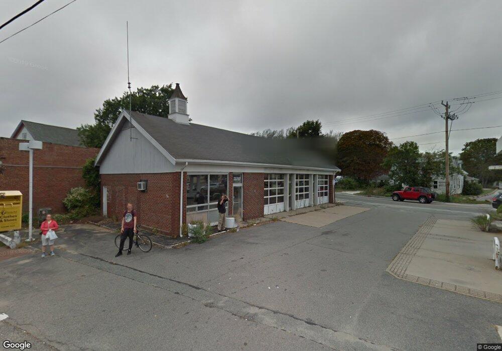
684 Main St Dennis Port, MA 02639
Dennis Port NeighborhoodEstimated Value: $678,000
5
Beds
6
Baths
1,890
Sq Ft
$359/Sq Ft
Est. Value
About This Home
This home is located at 684 Main St, Dennis Port, MA 02639 and is currently priced at $678,000, approximately $358 per square foot. 684 Main St is a home located in Barnstable County with nearby schools including Dennis-Yarmouth Regional High School and St. Pius X. School.
Ownership History
Date
Name
Owned For
Owner Type
Purchase Details
Closed on
Jun 19, 2019
Sold by
Jpm Petroleum Llc
Bought by
684-694 Main Street Llc
Current Estimated Value
Purchase Details
Closed on
May 4, 2018
Sold by
Griswold Philip F and Jpm Petroleum Llc
Bought by
Jpm Petroleum Llc
Purchase Details
Closed on
Sep 16, 1996
Sold by
Mobil Oil Corp
Bought by
Griswold Philip F
Create a Home Valuation Report for This Property
The Home Valuation Report is an in-depth analysis detailing your home's value as well as a comparison with similar homes in the area
Home Values in the Area
Average Home Value in this Area
Purchase History
| Date | Buyer | Sale Price | Title Company |
|---|---|---|---|
| 684-694 Main Street Llc | $345,000 | -- | |
| 684-694 Main Street Llc | $345,000 | -- | |
| 684-694 Main Street Llc | $345,000 | -- | |
| Jpm Petroleum Llc | $115,000 | -- | |
| Jpm Petroleum Llc | $115,000 | -- | |
| Jpm Petroleum Llc | $115,000 | -- | |
| Griswold Philip F | $400,000 | -- | |
| Griswold Philip F | $400,000 | -- |
Source: Public Records
Tax History Compared to Growth
Tax History
| Year | Tax Paid | Tax Assessment Tax Assessment Total Assessment is a certain percentage of the fair market value that is determined by local assessors to be the total taxable value of land and additions on the property. | Land | Improvement |
|---|---|---|---|---|
| 2025 | $2,208 | $510,000 | $332,000 | $178,000 |
| 2024 | $2,312 | $526,600 | $319,900 | $206,700 |
| 2023 | $2,037 | $436,100 | $239,400 | $196,700 |
| 2022 | $2,295 | $409,800 | $225,900 | $183,900 |
| 2021 | $2,589 | $429,300 | $221,400 | $207,900 |
| 2020 | $2,579 | $422,800 | $218,800 | $204,000 |
| 2019 | $2,477 | $401,500 | $198,900 | $202,600 |
| 2018 | $2,532 | $399,300 | $199,200 | $200,100 |
| 2017 | $2,456 | $399,300 | $199,200 | $200,100 |
| 2016 | $2,443 | $374,100 | $179,300 | $194,800 |
| 2015 | $2,749 | $429,600 | $179,300 | $250,300 |
| 2014 | $2,570 | $404,800 | $179,300 | $225,500 |
Source: Public Records
Map
Nearby Homes
- 47 Telegraph Rd Unit 1
- 141 Division St
- 141 Division St
- 73 Division St
- 45 Route 28
- 9 Country Ln
- 148 Belmont Rd
- 10 Candlewood Ln Unit 2-1
- 12 Candlewood Ln Unit 2-9
- 12 Candlewood Ln Unit 1-6
- 79 Massachusetts 28
- 9 Bells Neck Rd Unit 10
- 12 Cross St
- 9 Mansion St
- 6 Bayberry Ln
- 91 Depot Rd W
- 11 Lane Rd
- 104 Toms Path
- 104 Toms Path
- 64 Smith St
- 421 Upper County Rd
- 411 Upper County Rd
- 682 Main St
- 401 Upper County Rd
- 682 Main St
- 678 Main St
- 537 Upper County Rd
- 698 Main St
- 676 Main (Route 28) St
- 668 Main St
- 254 Upper County Rd
- 683 Massachusetts 28
- 250 Upper County Rd
- 662 Massachusetts 28
- 662 Main St
- 497 Upper County Rd
- 485 Upper County Rd
- 488 Upper County Rd
- 702 Main St
- 246 Upper County Rd