684 New England Rd Cape May, NJ 08204
Estimated Value: $875,000 - $1,328,000
--
Bed
--
Bath
2,430
Sq Ft
$443/Sq Ft
Est. Value
About This Home
This home is located at 684 New England Rd, Cape May, NJ 08204 and is currently estimated at $1,075,766, approximately $442 per square foot. 684 New England Rd is a home located in Cape May County with nearby schools including Carl T. Mitnick School, David C. Douglass Veterans Memorial School, and Maud Abrams School.
Ownership History
Date
Name
Owned For
Owner Type
Purchase Details
Closed on
Sep 25, 2017
Sold by
Mcpherson Ronald D
Bought by
Mcpherson Ronald D and Hammerstein William T
Current Estimated Value
Purchase Details
Closed on
Sep 9, 2017
Sold by
Jones Louise and The Estate Of Gertrude Mae Ham
Bought by
Mcpherson Ronald D
Purchase Details
Closed on
Dec 31, 2013
Sold by
Hammerstein Gertrude M and Mcpherson Ronald
Bought by
Hammerstein Gertrude M
Home Financials for this Owner
Home Financials are based on the most recent Mortgage that was taken out on this home.
Original Mortgage
$582,375
Interest Rate
3.16%
Mortgage Type
Reverse Mortgage Home Equity Conversion Mortgage
Create a Home Valuation Report for This Property
The Home Valuation Report is an in-depth analysis detailing your home's value as well as a comparison with similar homes in the area
Home Values in the Area
Average Home Value in this Area
Purchase History
| Date | Buyer | Sale Price | Title Company |
|---|---|---|---|
| Mcpherson Ronald D | -- | National Abstract Agency | |
| Mcpherson Ronald D | -- | National Abstracrt Agency | |
| Hammerstein Gertrude M | -- | The Security Title Guarantee |
Source: Public Records
Mortgage History
| Date | Status | Borrower | Loan Amount |
|---|---|---|---|
| Previous Owner | Hammerstein Gertrude M | $582,375 |
Source: Public Records
Tax History Compared to Growth
Tax History
| Year | Tax Paid | Tax Assessment Tax Assessment Total Assessment is a certain percentage of the fair market value that is determined by local assessors to be the total taxable value of land and additions on the property. | Land | Improvement |
|---|---|---|---|---|
| 2025 | $10,124 | $499,200 | $272,600 | $226,600 |
| 2024 | $10,124 | $499,200 | $272,600 | $226,600 |
| 2023 | $9,979 | $499,200 | $272,600 | $226,600 |
| 2022 | $9,675 | $499,200 | $272,600 | $226,600 |
| 2021 | $9,385 | $499,200 | $272,600 | $226,600 |
| 2020 | $9,235 | $499,200 | $272,600 | $226,600 |
| 2019 | $9,006 | $499,200 | $272,600 | $226,600 |
| 2018 | $8,791 | $499,200 | $272,600 | $226,600 |
| 2017 | $8,551 | $499,200 | $272,600 | $226,600 |
| 2016 | $8,416 | $499,200 | $272,600 | $226,600 |
| 2015 | $8,137 | $499,200 | $272,600 | $226,600 |
| 2014 | $7,862 | $499,200 | $272,600 | $226,600 |
Source: Public Records
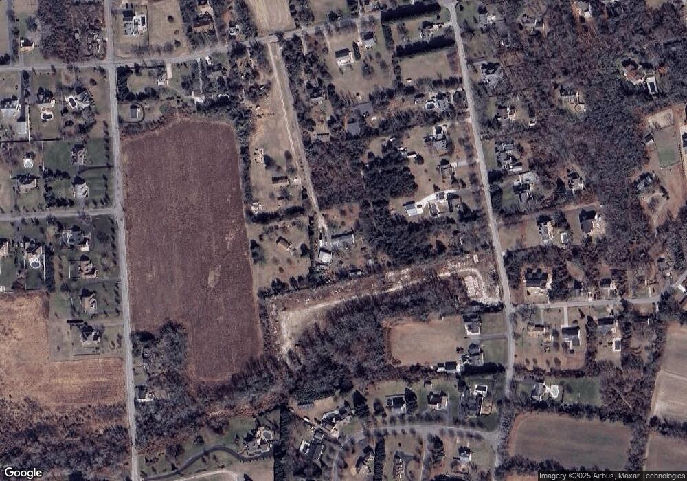
Map
Nearby Homes
- 1023 Shunpike Rd
- 3 Hannah Dr
- 3941 Bayshore Rd
- 1036 Seashore Rd
- 1031 Seashore Rd
- 3911 Bayshore Rd
- 1062 Seashore Rd
- 59 Westwood Dr
- 1083 Seashore Rd
- 123 Stimpson Ln
- 712 Gorham Ave
- 313 Nantucket Dr
- 306 Sixth Ave
- 602 Gorham Ave
- 818 Shunpike Rd
- 424 Portsmouth Rd
- 753 Route 9 Unit U
- 808 Westfield Ave
- 111 Leaming Ave
- 735 Maple Ave
- 684B New England Rd
- 682 New England Rd
- 682 New England Rd Unit 549
- 686 New England Rd
- 1028 Shunpike Rd
- 678 New England Rd
- 670 New England Rd
- 680 New England Rd
- 1020 Shunpike Rd
- 1022 Shunpike Rd
- 1018 Shunpike Rd
- 688 New England Rd
- 1016 Shunpike Rd
- 4035 Bayshore Rd
- 4005 Bayshore Rd
- 8 Hannah Dr
- 1014 Shunpike Rd
- 4008 Bayshore Rd
- 4010 Bayshore Rd
- 690 New England Rd