684 River Rd Westport, MA 02790
Acoaxet NeighborhoodEstimated Value: $3,134,000 - $4,093,000
6
Beds
4
Baths
4,910
Sq Ft
$735/Sq Ft
Est. Value
About This Home
This home is located at 684 River Rd, Westport, MA 02790 and is currently estimated at $3,606,921, approximately $734 per square foot. 684 River Rd is a home located in Bristol County with nearby schools including Alice A. Macomber Primary School and Westport Elementary School.
Ownership History
Date
Name
Owned For
Owner Type
Purchase Details
Closed on
Jan 15, 2014
Sold by
Fritz Matthew M and Fritz Chandler D
Bought by
Fritz Matthew M and Fritz Chandler D
Current Estimated Value
Purchase Details
Closed on
Dec 17, 2010
Sold by
Crane Mary Stair and Andrews Schofield
Bought by
Fritz Matthew W and Fritz Chandler D
Home Financials for this Owner
Home Financials are based on the most recent Mortgage that was taken out on this home.
Original Mortgage
$1,400,000
Interest Rate
4.23%
Mortgage Type
Purchase Money Mortgage
Purchase Details
Closed on
Oct 15, 2003
Sold by
Crane Mary Stair
Bought by
Quali Mary Stair Crane and Crane Mary Stair
Create a Home Valuation Report for This Property
The Home Valuation Report is an in-depth analysis detailing your home's value as well as a comparison with similar homes in the area
Home Values in the Area
Average Home Value in this Area
Purchase History
| Date | Buyer | Sale Price | Title Company |
|---|---|---|---|
| Fritz Matthew M | -- | -- | |
| Fritz Matthew W | $2,550,000 | -- | |
| Quali Mary Stair Crane | -- | -- |
Source: Public Records
Mortgage History
| Date | Status | Borrower | Loan Amount |
|---|---|---|---|
| Previous Owner | Quali Mary Stair Crane | $1,400,000 | |
| Previous Owner | Quali Mary Stair Crane | $45,000 |
Source: Public Records
Tax History Compared to Growth
Tax History
| Year | Tax Paid | Tax Assessment Tax Assessment Total Assessment is a certain percentage of the fair market value that is determined by local assessors to be the total taxable value of land and additions on the property. | Land | Improvement |
|---|---|---|---|---|
| 2025 | $21,536 | $2,890,800 | $1,472,400 | $1,418,400 |
| 2024 | $20,760 | $2,685,700 | $1,386,500 | $1,299,200 |
| 2023 | $20,265 | $2,483,500 | $1,334,900 | $1,148,600 |
| 2022 | $20,476 | $2,414,600 | $1,334,900 | $1,079,700 |
| 2021 | $16,330 | $1,894,400 | $1,241,200 | $653,200 |
| 2020 | $15,654 | $1,856,900 | $1,203,700 | $653,200 |
| 2019 | $15,172 | $1,834,600 | $1,163,600 | $671,000 |
| 2018 | $15,351 | $1,879,000 | $1,199,700 | $679,300 |
| 2017 | $14,638 | $1,836,700 | $1,199,700 | $637,000 |
| 2016 | $14,398 | $1,820,200 | $1,183,200 | $637,000 |
| 2015 | $13,712 | $1,729,100 | $1,182,400 | $546,700 |
Source: Public Records
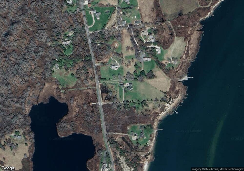
Map
Nearby Homes
- 177 Howland Rd
- 19 Seabury Ln
- 2043 Main Rd
- 189 Brayton Point Rd
- 1749 Main Rd
- 15 Cherry & Webb Unit 2C
- 304 Brayton Point Rd
- 7 Taber Ln
- 255 John Dyer Rd
- 1734 Drift Rd
- 1702J Drift Rd
- 1702 Drift Rd
- 10 Winslow Rd
- 1346 Main Rd Unit B
- 245 John Dyer Rd
- 1518 Drift Rd
- 1404 Drift Rd
- 1371 Drift Rd
- 505 Long Hwy
- 18 Old Barn Rd