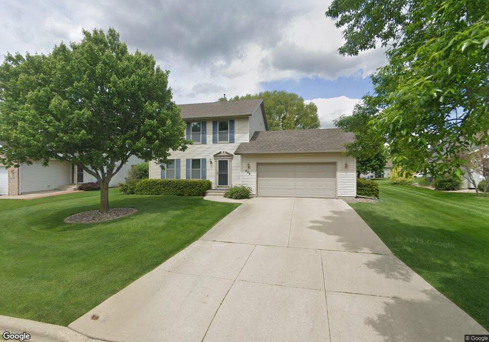
684 Ruxton Ridge Dr Sun Prairie, WI 53590
Northern Sun Prairie NeighborhoodEstimated Value: $375,000 - $394,692
3
Beds
3
Baths
1,404
Sq Ft
$274/Sq Ft
Est. Value
About This Home
This home is located at 684 Ruxton Ridge Dr, Sun Prairie, WI 53590 and is currently estimated at $384,923, approximately $274 per square foot. 684 Ruxton Ridge Dr is a home located in Dane County with nearby schools including Bird Elementary School, Patrick Marsh Middle School, and Peace Lutheran School & Prekindergarten.
Ownership History
Date
Name
Owned For
Owner Type
Purchase Details
Closed on
Mar 26, 2010
Sold by
Shields Scott R and Shields Tiffany R
Bought by
Shields Scott R
Current Estimated Value
Home Financials for this Owner
Home Financials are based on the most recent Mortgage that was taken out on this home.
Original Mortgage
$165,000
Interest Rate
4.96%
Mortgage Type
New Conventional
Create a Home Valuation Report for This Property
The Home Valuation Report is an in-depth analysis detailing your home's value as well as a comparison with similar homes in the area
Home Values in the Area
Average Home Value in this Area
Purchase History
| Date | Buyer | Sale Price | Title Company |
|---|---|---|---|
| Shields Scott R | -- | None Available |
Source: Public Records
Mortgage History
| Date | Status | Borrower | Loan Amount |
|---|---|---|---|
| Closed | Shields Scott R | $165,000 |
Source: Public Records
Tax History Compared to Growth
Tax History
| Year | Tax Paid | Tax Assessment Tax Assessment Total Assessment is a certain percentage of the fair market value that is determined by local assessors to be the total taxable value of land and additions on the property. | Land | Improvement |
|---|---|---|---|---|
| 2024 | $5,733 | $306,300 | $72,800 | $233,500 |
| 2023 | $5,188 | $306,300 | $72,800 | $233,500 |
| 2021 | $4,988 | $241,600 | $66,100 | $175,500 |
| 2020 | $5,127 | $241,600 | $66,100 | $175,500 |
| 2019 | $5,291 | $221,400 | $60,100 | $161,300 |
| 2018 | $4,906 | $221,400 | $60,100 | $161,300 |
| 2017 | $4,720 | $221,400 | $60,100 | $161,300 |
| 2016 | $4,687 | $199,300 | $53,200 | $146,100 |
| 2015 | $4,556 | $199,300 | $53,200 | $146,100 |
| 2014 | $4,520 | $196,500 | $53,200 | $143,300 |
| 2013 | $4,664 | $196,500 | $53,200 | $143,300 |
Source: Public Records
Map
Nearby Homes
- 633 Stonehaven Dr
- 680 Stonehaven Dr
- 1046 Stonehaven Dr
- 955 Liberty Blvd Unit 103
- 1171 School St Unit 1171
- 972 Chandler Ln Unit 972
- 994 Chandler Ln
- 952 Chandler Ln Unit 952
- 856 Saint Albert the Great Dr Unit 856
- 1048 Stonewood Crossing
- 6532 N Bird St
- 208 Scenic Ct
- 1325 Bunker Hill Dr Unit 3104
- 1180 Patriot Way
- 1295 Stonehaven Dr
- 1010 Andrews Dr
- 1013 Vandenburg St
- 1294 Saint Albert the Great Dr
- 921 Pine St
- 706 Woodland Dr
- 690 Ruxton Dr
- 676 Ruxton Ridge Dr
- 1257 Stonewood Crossing
- 1267 Stonewood Crossing
- 667 Stonehaven Dr
- 677 Stonehaven Dr
- 668 Ruxton Ridge Dr
- 657 Stonehaven Dr
- 1271 Stonewood Crossing
- L51 Stonewood Crossing
- 1281 Stonewood Crossing
- 649 Stonehaven Dr
- 673 Ruxton Ridge Dr
- 1285 Stonewood Crossing
- 658 Ruxton Ridge Dr
- 689 Stonehaven Dr
- 1226 Stonewood Crossing
- 641 Stonehaven Dr
- 1240 Stonewood Crossing
- 661 Ruxton Ridge Dr