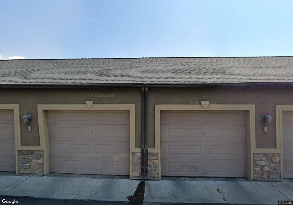
684 S 2150 W Pleasant Grove, UT 84062
Estimated Value: $310,000 - $319,090
3
Beds
2
Baths
1,116
Sq Ft
$284/Sq Ft
Est. Value
About This Home
This home is located at 684 S 2150 W, Pleasant Grove, UT 84062 and is currently estimated at $316,523, approximately $283 per square foot. 684 S 2150 W is a home located in Utah County with nearby schools including Barratt Elementary School, American Fork Junior High School, and American Fork High School.
Ownership History
Date
Name
Owned For
Owner Type
Purchase Details
Closed on
Jun 17, 2022
Sold by
North Side Investments Llc
Bought by
White Dean M and White Holly B
Current Estimated Value
Home Financials for this Owner
Home Financials are based on the most recent Mortgage that was taken out on this home.
Original Mortgage
$272,250
Outstanding Balance
$258,660
Interest Rate
5.1%
Mortgage Type
New Conventional
Estimated Equity
$57,863
Purchase Details
Closed on
Jan 3, 2019
Sold by
Esken Steve and Esken Felicia A
Bought by
North Side Investments Llc
Purchase Details
Closed on
Mar 6, 2018
Sold by
Garlick Matthew and Garlick Carlee
Bought by
Esken Steve and Esken Felicia A
Purchase Details
Closed on
Jun 28, 2016
Sold by
Gates James M and Gates Linda M
Bought by
Garilick Matthew and Garilick Carlee
Home Financials for this Owner
Home Financials are based on the most recent Mortgage that was taken out on this home.
Original Mortgage
$140,600
Interest Rate
3.66%
Mortgage Type
New Conventional
Purchase Details
Closed on
Jan 9, 2009
Sold by
Farish Anthony J and Gates James M
Bought by
Gates James M and Gates Linda M
Purchase Details
Closed on
Dec 10, 2008
Sold by
Farish Anthony and Farish Nichole
Bought by
Farish Anthony J and Gates James M
Purchase Details
Closed on
Sep 21, 2006
Sold by
Armstrong Jordan and Armstrong Heidi L
Bought by
Farish Anthony and Farish Nichole
Home Financials for this Owner
Home Financials are based on the most recent Mortgage that was taken out on this home.
Original Mortgage
$15,962
Interest Rate
6.43%
Mortgage Type
Stand Alone Second
Purchase Details
Closed on
May 17, 2005
Sold by
Armstrong Jordan and Armstrong Marcia A
Bought by
Armstrong Jordan and Armstrong Heidi L
Home Financials for this Owner
Home Financials are based on the most recent Mortgage that was taken out on this home.
Original Mortgage
$104,200
Interest Rate
5.84%
Mortgage Type
FHA
Create a Home Valuation Report for This Property
The Home Valuation Report is an in-depth analysis detailing your home's value as well as a comparison with similar homes in the area
Home Values in the Area
Average Home Value in this Area
Purchase History
| Date | Buyer | Sale Price | Title Company |
|---|---|---|---|
| White Dean M | -- | First American Title | |
| North Side Investments Llc | -- | None Available | |
| Esken Steve | -- | Vanguard Title Ins Agency | |
| Garilick Matthew | -- | Vanguard Title Ins Agen | |
| Gates James M | -- | Mountain West Title Co | |
| Farish Anthony J | -- | Mountain West Title Co | |
| Farish Anthony | -- | Equity Title Orem Blvd | |
| Farish Anthony | -- | Equity Title Orem Blvd | |
| Armstrong Jordan | -- | Mountain West Title Company |
Source: Public Records
Mortgage History
| Date | Status | Borrower | Loan Amount |
|---|---|---|---|
| Open | White Dean M | $272,250 | |
| Previous Owner | Garilick Matthew | $140,600 | |
| Previous Owner | Farish Anthony | $15,962 | |
| Previous Owner | Farish Anthony | $127,700 | |
| Previous Owner | Armstrong Jordan | $104,200 |
Source: Public Records
Tax History Compared to Growth
Tax History
| Year | Tax Paid | Tax Assessment Tax Assessment Total Assessment is a certain percentage of the fair market value that is determined by local assessors to be the total taxable value of land and additions on the property. | Land | Improvement |
|---|---|---|---|---|
| 2025 | $2,636 | $309,700 | $34,400 | $275,300 |
| 2024 | $2,636 | $314,500 | $0 | $0 |
| 2023 | $2,528 | $308,800 | $0 | $0 |
| 2022 | $2,528 | $307,300 | $30,700 | $276,600 |
| 2021 | $1,221 | $226,000 | $27,100 | $198,900 |
| 2020 | $1,143 | $207,400 | $24,900 | $182,500 |
| 2019 | $1,005 | $188,500 | $22,000 | $166,500 |
| 2018 | $896 | $159,000 | $19,100 | $139,900 |
| 2017 | $850 | $80,300 | $0 | $0 |
| 2016 | $808 | $73,700 | $0 | $0 |
| 2015 | $853 | $73,700 | $0 | $0 |
| 2014 | $739 | $63,250 | $0 | $0 |
Source: Public Records
Map
Nearby Homes
- 684 S 2150 W Unit 203
- 661 S 2220 W Unit 202
- 574 S 2150 W Unit 104
- 581 S 2220 W Unit 301
- 685 S 2220 W Unit 102
- 685 S 2220 W Unit 302
- 518 S 2150 W Unit 202
- 626 S 2310 W
- The Henley B Plan at Tayside Farm - Single Family Home
- The Hastings Plan at Tayside Farm - Townhome
- The Henley A Plan at Tayside Farm - Single Family Home
- The Denton Plan at Tayside Farm - Townhome
- 128 S 1700 W Unit 12
- 1795 W 120 S Unit 52
- 1775 W 120 S Unit 54
- 1765 W 120 S Unit 55
- 29 S 2000 W
- 1597 W 80 S
- 43 S 1630 W
- 1559 W 50 N