684 Sudbury Rd Concord, MA 01742
Estimated Value: $1,934,803 - $2,397,000
4
Beds
4
Baths
3,456
Sq Ft
$605/Sq Ft
Est. Value
About This Home
This home is located at 684 Sudbury Rd, Concord, MA 01742 and is currently estimated at $2,090,451, approximately $604 per square foot. 684 Sudbury Rd is a home located in Middlesex County with nearby schools including Willard School, Concord Middle School, and The Fenn School.
Ownership History
Date
Name
Owned For
Owner Type
Purchase Details
Closed on
Oct 5, 2009
Sold by
Mackenzie Harald S
Bought by
Evins Anne Eden
Current Estimated Value
Home Financials for this Owner
Home Financials are based on the most recent Mortgage that was taken out on this home.
Original Mortgage
$675,000
Interest Rate
5.12%
Mortgage Type
Purchase Money Mortgage
Purchase Details
Closed on
Jul 29, 1997
Sold by
Heath T and Falwell Thomas W
Bought by
Mackenzie Harald S and Evins Anne E
Purchase Details
Closed on
Feb 7, 1997
Sold by
Soutter Mary C
Bought by
Heath T and Falwell Thomas W
Create a Home Valuation Report for This Property
The Home Valuation Report is an in-depth analysis detailing your home's value as well as a comparison with similar homes in the area
Home Values in the Area
Average Home Value in this Area
Purchase History
| Date | Buyer | Sale Price | Title Company |
|---|---|---|---|
| Evins Anne Eden | -- | -- | |
| Mackenzie Harald S | $485,000 | -- | |
| Heath T | $1,350,000 | -- |
Source: Public Records
Mortgage History
| Date | Status | Borrower | Loan Amount |
|---|---|---|---|
| Open | Heath T | $654,000 | |
| Closed | Evins Anne Eden | $675,000 | |
| Closed | Evins Anne Eden | $45,000 | |
| Previous Owner | Heath T | $169,000 |
Source: Public Records
Tax History Compared to Growth
Tax History
| Year | Tax Paid | Tax Assessment Tax Assessment Total Assessment is a certain percentage of the fair market value that is determined by local assessors to be the total taxable value of land and additions on the property. | Land | Improvement |
|---|---|---|---|---|
| 2025 | $190 | $1,429,100 | $629,500 | $799,600 |
| 2024 | $18,332 | $1,396,200 | $629,500 | $766,700 |
| 2023 | $17,146 | $1,323,000 | $576,800 | $746,200 |
| 2022 | $15,702 | $1,063,800 | $420,400 | $643,400 |
| 2021 | $15,527 | $1,054,800 | $458,700 | $596,100 |
| 2020 | $15,646 | $1,099,500 | $458,700 | $640,800 |
| 2019 | $14,199 | $1,000,600 | $427,900 | $572,700 |
| 2018 | $13,903 | $972,900 | $421,600 | $551,300 |
| 2017 | $14,275 | $1,014,600 | $401,600 | $613,000 |
| 2016 | $14,139 | $1,015,700 | $446,900 | $568,800 |
| 2015 | $13,335 | $933,200 | $414,100 | $519,100 |
Source: Public Records
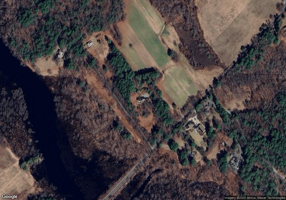
Map
Nearby Homes
- 497 Old Road to 9 Acre Corner
- 37 Wolf Pine Way
- 236 Fairhaven Rd
- 182 Southfield Rd
- 84 Bruce Rd
- 232 Sudbury Rd
- 602 Main St
- 22 Belknap Ct
- 14 Thoreau St
- 46 Wood St
- 106 Elm St
- 143 Everett St
- 46 Sudbury Rd
- 12 S Meadow Ridge Unit 12
- 12 S Meadow Ridge
- 181 Stow St
- 61B Walden St
- 29 Concord Greene Unit 3
- 24 Concord Greene Unit 7
- 49 Willard Common
- 680 Sudbury Rd
- 675 Sudbury Rd
- 657 Sudbury Rd
- 709 Sudbury Rd
- 651 Sudbury Rd
- 728 Sudbury Rd
- 649 Sudbury Rd
- 557 Sudbury Rd
- 535 Sudbury Rd
- 90 Whittemore St
- 90 Whittemore St Unit 2
- 90 Whittemore St Unit 1
- 92 Whittemore St
- 88 Whittemore St
- 88 Whittemore St Unit 1
- 112 Whittemore St
- 89 Heaths Bridge Rd
- 122 Whittemore St
- 104 Whittemore St
- 1140 Concord Turnpike