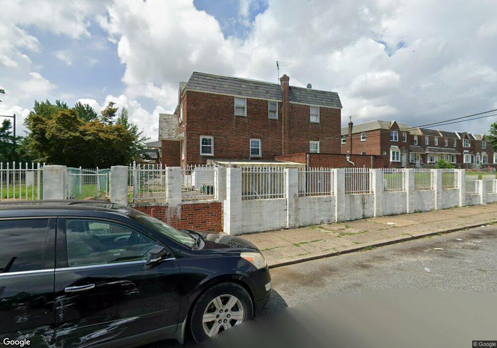
6840 Roosevelt Blvd Philadelphia, PA 19149
Castor Gardens NeighborhoodEstimated Value: $273,000 - $288,862
4
Beds
1
Bath
1,480
Sq Ft
$189/Sq Ft
Est. Value
About This Home
This home is located at 6840 Roosevelt Blvd, Philadelphia, PA 19149 and is currently estimated at $280,216, approximately $189 per square foot. 6840 Roosevelt Blvd is a home located in Philadelphia County with nearby schools including Solomon Solis-Cohen School, Castor Gardens Middle School, and Northeast High School.
Ownership History
Date
Name
Owned For
Owner Type
Purchase Details
Closed on
Sep 11, 2002
Sold by
Chowdhury Latif and Khanom Oni
Bought by
Foreman Howard A
Current Estimated Value
Home Financials for this Owner
Home Financials are based on the most recent Mortgage that was taken out on this home.
Original Mortgage
$96,000
Outstanding Balance
$51,231
Interest Rate
10.18%
Estimated Equity
$228,985
Purchase Details
Closed on
Jan 22, 2002
Sold by
Santilli Sestino
Bought by
Chowdhury Latif
Create a Home Valuation Report for This Property
The Home Valuation Report is an in-depth analysis detailing your home's value as well as a comparison with similar homes in the area
Home Values in the Area
Average Home Value in this Area
Purchase History
| Date | Buyer | Sale Price | Title Company |
|---|---|---|---|
| Foreman Howard A | $96,000 | -- | |
| Chowdhury Latif | $65,000 | -- |
Source: Public Records
Mortgage History
| Date | Status | Borrower | Loan Amount |
|---|---|---|---|
| Open | Foreman Howard A | $96,000 |
Source: Public Records
Tax History Compared to Growth
Tax History
| Year | Tax Paid | Tax Assessment Tax Assessment Total Assessment is a certain percentage of the fair market value that is determined by local assessors to be the total taxable value of land and additions on the property. | Land | Improvement |
|---|---|---|---|---|
| 2025 | $3,459 | $291,700 | $58,340 | $233,360 |
| 2024 | $3,459 | $291,700 | $58,340 | $233,360 |
| 2023 | $3,459 | $247,100 | $49,420 | $197,680 |
| 2022 | $1,789 | $202,100 | $49,420 | $152,680 |
| 2021 | $2,419 | $0 | $0 | $0 |
| 2020 | $2,419 | $0 | $0 | $0 |
| 2019 | $2,321 | $0 | $0 | $0 |
| 2018 | $2,350 | $0 | $0 | $0 |
| 2017 | $2,350 | $0 | $0 | $0 |
| 2016 | $1,930 | $0 | $0 | $0 |
| 2015 | $1,848 | $0 | $0 | $0 |
| 2014 | -- | $167,900 | $67,243 | $100,657 |
| 2012 | -- | $15,968 | $3,453 | $12,515 |
Source: Public Records
Map
Nearby Homes
- 2248 Disston St
- 2257 Disston St
- 2249 Knorr St
- 2241 Knorr St
- 6749 E Roosevelt Blvd
- 2813 Longshore Ave
- 2171 Disston St
- 2712 Knorr St
- 2822 Longshore Ave
- 2821 Longshore Ave
- 2169 Knorr St
- 2825 Disston St
- 2833 Knorr St
- 6736 Leonard St
- 2816 Knorr St
- 2711 Unruh Ave
- 2119 Glenview St
- 2731 Unruh Ave
- 2110 Longshore Ave
- 2206 Princeton Ave
- 6838 Roosevelt Blvd
- 6838 Roosevelt Blvd
- 6836 Roosevelt Blvd
- 6834 Roosevelt Blvd
- 2248 Longshore Ave
- 6832 Roosevelt Blvd
- 6830 Roosevelt Blvd
- 6900 Roosevelt Blvd
- 2246 Longshore Ave
- 6828 Roosevelt Blvd
- 2244 Longshore Ave
- 6902 Roosevelt Blvd
- 6826 Roosevelt Blvd
- 6904 Roosevelt Blvd
- 6904 Roosevelt Blvd
- 2242 Longshore Ave
- 2251 Longshore Ave Unit Longshore Ave. 2nd Fl.
- 2251 Longshore Ave
- 6824 Roosevelt Blvd
- 2240 Longshore Ave