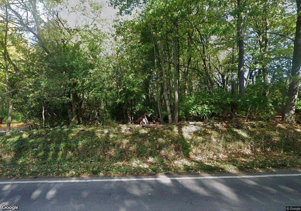
6842 King Rd Spring Arbor, MI 49283
Estimated Value: $190,000 - $328,809
--
Bed
--
Bath
744
Sq Ft
$359/Sq Ft
Est. Value
About This Home
This home is located at 6842 King Rd, Spring Arbor, MI 49283 and is currently estimated at $267,202, approximately $359 per square foot. 6842 King Rd is a home with nearby schools including Western High School, Paragon Charter Academy, and Trinity Lutheran School.
Ownership History
Date
Name
Owned For
Owner Type
Purchase Details
Closed on
Oct 12, 2015
Sold by
Briggs Brian J
Bought by
Robertson James Scott
Current Estimated Value
Purchase Details
Closed on
Jun 26, 2015
Sold by
Postlewait Michael J and Ludwick Lori A
Bought by
Briggs Brian J
Home Financials for this Owner
Home Financials are based on the most recent Mortgage that was taken out on this home.
Original Mortgage
$44,000
Interest Rate
3.82%
Mortgage Type
New Conventional
Create a Home Valuation Report for This Property
The Home Valuation Report is an in-depth analysis detailing your home's value as well as a comparison with similar homes in the area
Home Values in the Area
Average Home Value in this Area
Purchase History
| Date | Buyer | Sale Price | Title Company |
|---|---|---|---|
| Robertson James Scott | $59,000 | Attorney | |
| Briggs Brian J | $55,000 | At |
Source: Public Records
Mortgage History
| Date | Status | Borrower | Loan Amount |
|---|---|---|---|
| Previous Owner | Briggs Brian J | $44,000 |
Source: Public Records
Tax History Compared to Growth
Tax History
| Year | Tax Paid | Tax Assessment Tax Assessment Total Assessment is a certain percentage of the fair market value that is determined by local assessors to be the total taxable value of land and additions on the property. | Land | Improvement |
|---|---|---|---|---|
| 2025 | $5,695 | $141,000 | $0 | $0 |
| 2024 | $4,127 | $124,700 | $0 | $0 |
| 2023 | $4,040 | $104,500 | $0 | $0 |
| 2022 | $5,167 | $96,000 | $0 | $0 |
| 2021 | $5,051 | $88,760 | $0 | $0 |
| 2020 | $5,080 | $92,710 | $0 | $0 |
| 2019 | $4,879 | $88,080 | $0 | $0 |
| 2018 | $4,831 | $85,680 | $11,300 | $74,380 |
| 2017 | $4,626 | $83,700 | $0 | $0 |
| 2016 | $469 | $11,150 | $11,150 | $0 |
| 2015 | $13,482 | $15,640 | $15,640 | $0 |
| 2014 | $13,482 | $13,980 | $13,980 | $0 |
| 2013 | -- | $13,980 | $13,980 | $0 |
Source: Public Records
Map
Nearby Homes
- 181 Remington Dr
- V/L S Dearing Rd Unit 40 Acres Vacant Land
- 3123 Earl Dr
- 3059 Arborwood Blvd Unit 32
- 392 Richard St
- 2926 S Sandstone Rd
- 306 E Main St
- 2503 Milford Rd
- 6460 Mccain Rd
- VL Spring Arbor Rd
- 119 Blenheim Dr
- 7800 Mccain Rd
- 7850 Mccain Rd
- 6051 Riverside Dr
- 83 Dickens St
- 82 Dickens St
- 75 Dickens St Unit 40
- 5933 Mccain Rd
- 3010 E Court St
- 68 Dickens St
- 6814 King Rd
- 6900 King Rd
- 2953 Dearing Rd
- 2755 Dearing Rd
- 2751 Dearing Rd
- 2727 Dearing Rd
- 2962 Dearing Rd
- 3004 Dearing Rd
- 3008 S Dearing Rd
- 3008 Dearing Rd
- 101 Remington Dr Unit 23 Dr
- 101 Remington Dr
- 2900 Dearing Rd
- 2750 Dearing Rd
- 2962 S Dearing Rd
- 2962 S Dearing Rd Unit 2960
- 102 Remington Dr
- 100 Remington Dr Unit 1
- 100 Remington Dr Unit 1 Dr
- 100 Remington Dr
