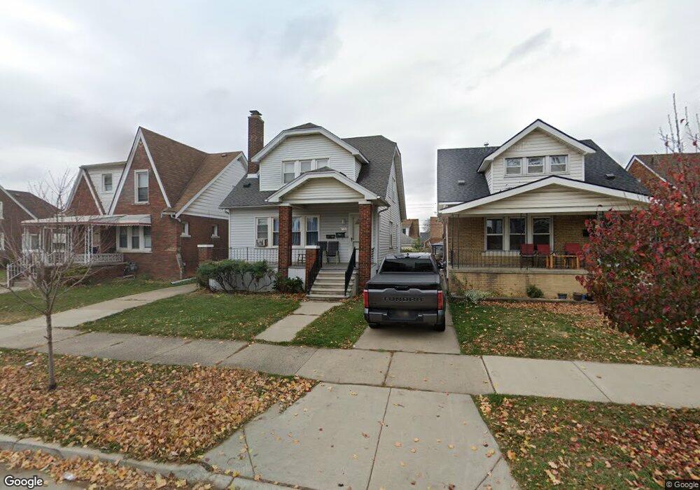
6843 Bingham St Unit Bldg-Unit Dearborn, MI 48126
Hemlock Park NeighborhoodEstimated Value: $254,247 - $281,000
3
Beds
2
Baths
1,512
Sq Ft
$177/Sq Ft
Est. Value
About This Home
This home is located at 6843 Bingham St Unit Bldg-Unit, Dearborn, MI 48126 and is currently estimated at $267,062, approximately $176 per square foot. 6843 Bingham St Unit Bldg-Unit is a home located in Wayne County with nearby schools including Lowrey School, Lowrey Middle School, and Fordson High School.
Ownership History
Date
Name
Owned For
Owner Type
Purchase Details
Closed on
Feb 28, 2020
Sold by
Trusted Investments Llc
Bought by
Shoman Investments Llc
Current Estimated Value
Purchase Details
Closed on
Mar 22, 2018
Sold by
Ettinger Phillip P
Bought by
Trusted Investment Llc
Purchase Details
Closed on
Jul 29, 2013
Sold by
Broome John F
Bought by
Ettinger Phillip P
Purchase Details
Closed on
Jan 7, 2008
Sold by
Broome John F
Bought by
The John F Broome Revocable Living Trust
Create a Home Valuation Report for This Property
The Home Valuation Report is an in-depth analysis detailing your home's value as well as a comparison with similar homes in the area
Home Values in the Area
Average Home Value in this Area
Purchase History
We collect this data history from publicly available records. To have your information removed, we recommend requesting removal directly through your county’s website.
| Date | Buyer | Sale Price | Title Company |
|---|---|---|---|
| Shoman Investments Llc | -- | None Available | |
| Trusted Investment Llc | $120,000 | Title One Inc | |
| Ettinger Phillip P | $74,500 | Title One Inc | |
| The John F Broome Revocable Living Trust | -- | None Available |
Source: Public Records
Tax History
| Year | Tax Paid | Tax Assessment Tax Assessment Total Assessment is a certain percentage of the fair market value that is determined by local assessors to be the total taxable value of land and additions on the property. | Land | Improvement |
|---|---|---|---|---|
| 2025 | $4,237 | $113,900 | $0 | $0 |
| 2024 | $4,266 | $105,600 | $0 | $0 |
| 2023 | $3,793 | $67,000 | $0 | $0 |
| 2022 | $4,367 | $71,900 | $0 | $0 |
| 2021 | $4,475 | $65,300 | $0 | $0 |
| 2019 | $4,413 | $58,800 | $0 | $0 |
| 2018 | $2,439 | $50,900 | $0 | $0 |
| 2017 | $574 | $45,200 | $0 | $0 |
| 2016 | $2,306 | $45,700 | $0 | $0 |
| 2015 | $3,536 | $38,300 | $0 | $0 |
| 2013 | $3,218 | $32,180 | $0 | $0 |
| 2011 | -- | $35,363 | $0 | $0 |
Source: Public Records
Map
Nearby Homes
- 6842 Jonathon St
- 6635 Schaefer Rd
- 6413 Calhoun St
- 7261 Reuter St
- 6446 Oakman Blvd
- 6639 Miller Rd
- 7241 Middlesex St
- 7247 Middlesex St
- 7524 Hartwell St
- 10801 W Warren Ave
- 6257 Miller Rd
- 7121 Pinehurst St
- 6131 Appoline St
- 14433 W Warren Ave
- 6847 Theisen St
- 6120 Middlesex St
- 7750 Morross Ct
- 7758 Reuter St
- 7704 Oakman Blvd
- 5861 Bingham St
- 6843 Bingham St
- 6851 Bingham St
- 6859 Bingham St
- 6837 Bingham St
- 6831 Bingham St
- 6863 Bingham St
- 6825 Bingham St
- 6819 Bingham St
- 6901 Bingham St
- 6842 Calhoun St
- 6850 Calhoun St
- 6836 Calhoun St
- 6830 Calhoun St
- 6856 Calhoun St
- 6907 Bingham St
- 6811 Bingham St
- 6862 Calhoun St
- 6824 Calhoun St
- 6844 Bingham St
- 6838 Bingham St
Your Personal Tour Guide
Ask me questions while you tour the home.