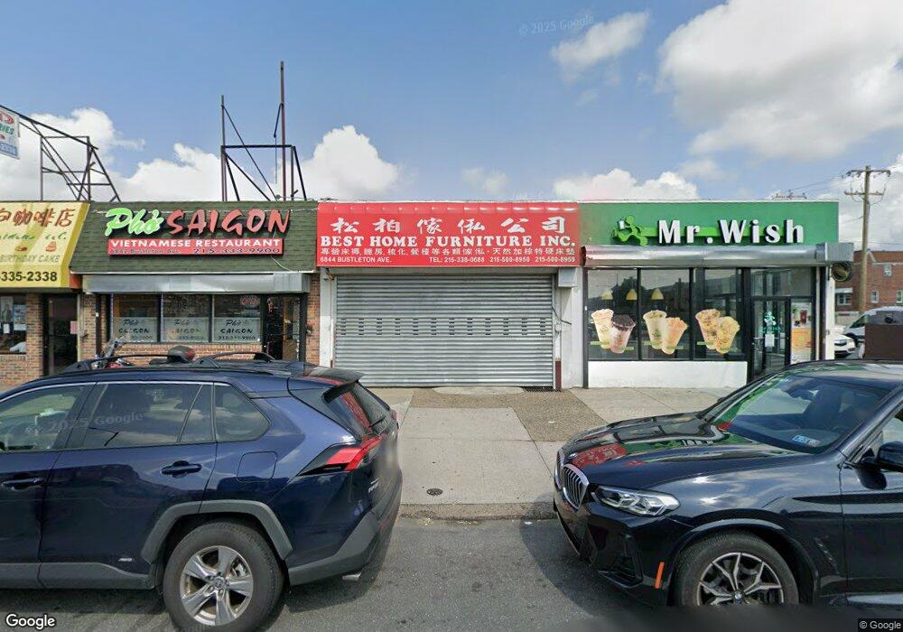
6844 Bustleton Ave Philadelphia, PA 19149
Castor Gardens NeighborhoodEstimated Value: $518,000 - $680,341
--
Bed
--
Bath
1,500
Sq Ft
$399/Sq Ft
Est. Value
About This Home
This home is located at 6844 Bustleton Ave, Philadelphia, PA 19149 and is currently estimated at $599,171, approximately $399 per square foot. 6844 Bustleton Ave is a home with nearby schools including Solomon Solis-Cohen School, Castor Gardens Middle School, and Northeast High School.
Ownership History
Date
Name
Owned For
Owner Type
Purchase Details
Closed on
Jun 13, 2006
Sold by
Portias John and Portias Christine
Bought by
Zhang Qiu Fen and Liu Pei Hui
Current Estimated Value
Home Financials for this Owner
Home Financials are based on the most recent Mortgage that was taken out on this home.
Original Mortgage
$238,000
Outstanding Balance
$140,316
Interest Rate
6.62%
Mortgage Type
Commercial
Estimated Equity
$458,855
Create a Home Valuation Report for This Property
The Home Valuation Report is an in-depth analysis detailing your home's value as well as a comparison with similar homes in the area
Home Values in the Area
Average Home Value in this Area
Purchase History
| Date | Buyer | Sale Price | Title Company |
|---|---|---|---|
| Zhang Qiu Fen | $318,000 | None Available |
Source: Public Records
Mortgage History
| Date | Status | Borrower | Loan Amount |
|---|---|---|---|
| Open | Zhang Qiu Fen | $238,000 |
Source: Public Records
Tax History Compared to Growth
Tax History
| Year | Tax Paid | Tax Assessment Tax Assessment Total Assessment is a certain percentage of the fair market value that is determined by local assessors to be the total taxable value of land and additions on the property. | Land | Improvement |
|---|---|---|---|---|
| 2025 | $3,438 | $305,600 | $61,120 | $244,480 |
| 2024 | $3,438 | $305,600 | $61,120 | $244,480 |
| 2023 | $3,438 | $245,600 | $49,120 | $196,480 |
| 2022 | $3,169 | $245,600 | $49,120 | $196,480 |
| 2021 | $3,169 | $0 | $0 | $0 |
| 2020 | $3,169 | $0 | $0 | $0 |
| 2019 | $3,147 | $0 | $0 | $0 |
| 2018 | $3,893 | $0 | $0 | $0 |
| 2017 | $2,625 | $0 | $0 | $0 |
| 2016 | $2,625 | $0 | $0 | $0 |
| 2015 | $2,513 | $0 | $0 | $0 |
| 2014 | -- | $187,500 | $30,000 | $157,500 |
| 2012 | -- | $32,000 | $4,800 | $27,200 |
Source: Public Records
Map
Nearby Homes
- 2110 Longshore Ave
- 2119 Glenview St
- 6725 Eastwood St
- 6826 Sylvester St
- 2169 Knorr St
- 2171 Disston St
- 2140 Princeton Ave
- 6829 Horrocks St
- 2241 Knorr St
- 2162 Princeton Ave
- 2248 Disston St
- 6627 Oakland St
- 2206 Princeton Ave
- 2249 Knorr St
- 2257 Disston St
- 6621 Sylvester St
- 7034 Souder St
- 2105 Friendship St
- 2239 Brighton St
- 7017 Calvert St
- 6846 Bustleton Ave
- 6840 Bustleton Ave
- 6838 Bustleton Ave
- 6836 Bustleton Ave
- 2034 Longshore Ave
- 6834 Bustleton Ave
- 6832 Bustleton Ave
- 2032 Longshore Ave
- 2030 Longshore Ave
- 6830 Bustleton Ave
- 2035 Glenview St
- 2028 Longshore Ave
- 6828 Bustleton Ave
- 2033 Glenview St
- 2100 Longshore Ave
- 2026 Longshore Ave
- 6904 Bustleton Ave
- 2031 Glenview St
- 2024 Longshore Ave
- 2102 Longshore Ave