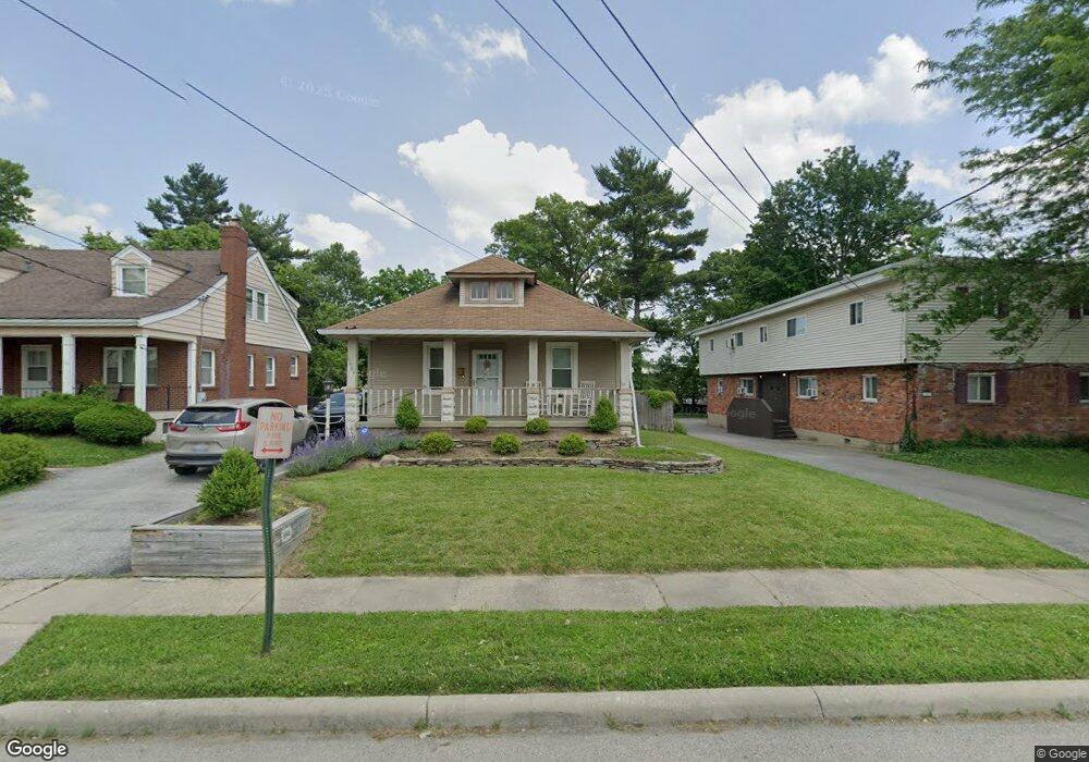
6846 Sampson Ln Cincinnati, OH 45236
Estimated Value: $187,324 - $307,000
3
Beds
1
Bath
936
Sq Ft
$262/Sq Ft
Est. Value
About This Home
This home is located at 6846 Sampson Ln, Cincinnati, OH 45236 and is currently estimated at $245,081, approximately $261 per square foot. 6846 Sampson Ln is a home located in Hamilton County with nearby schools including Silverton Paideia Elementary School, Shroder High School, and Clark Montessori High School.
Ownership History
Date
Name
Owned For
Owner Type
Purchase Details
Closed on
May 30, 1996
Sold by
Waldbillig Richard L and Waldbillig Sandra L
Bought by
Jinks Darrel and Jinks Debra R
Current Estimated Value
Home Financials for this Owner
Home Financials are based on the most recent Mortgage that was taken out on this home.
Original Mortgage
$70,961
Outstanding Balance
$2,545
Interest Rate
7.97%
Estimated Equity
$242,536
Create a Home Valuation Report for This Property
The Home Valuation Report is an in-depth analysis detailing your home's value as well as a comparison with similar homes in the area
Home Values in the Area
Average Home Value in this Area
Purchase History
| Date | Buyer | Sale Price | Title Company |
|---|---|---|---|
| Jinks Darrel | $70,900 | -- |
Source: Public Records
Mortgage History
| Date | Status | Borrower | Loan Amount |
|---|---|---|---|
| Open | Jinks Darrel | $70,961 |
Source: Public Records
Tax History
| Year | Tax Paid | Tax Assessment Tax Assessment Total Assessment is a certain percentage of the fair market value that is determined by local assessors to be the total taxable value of land and additions on the property. | Land | Improvement |
|---|---|---|---|---|
| 2025 | $2,377 | $38,056 | $12,170 | $25,886 |
| 2023 | $2,225 | $38,056 | $12,170 | $25,886 |
| 2022 | $1,757 | $25,407 | $9,156 | $16,251 |
| 2021 | $1,711 | $25,879 | $9,156 | $16,723 |
| 2020 | $1,782 | $26,037 | $9,156 | $16,881 |
| 2019 | $1,940 | $25,526 | $8,978 | $16,548 |
| 2018 | $1,943 | $25,526 | $8,978 | $16,548 |
| 2017 | $1,857 | $25,526 | $8,978 | $16,548 |
| 2016 | $1,802 | $24,301 | $8,082 | $16,219 |
| 2015 | $1,630 | $24,301 | $8,082 | $16,219 |
| 2014 | $1,640 | $24,301 | $8,082 | $16,219 |
| 2013 | $1,851 | $27,000 | $8,978 | $18,022 |
Source: Public Records
Map
Nearby Homes
- 4155 Home St
- 6829 Alpine Ave
- 6705 Elwynne Dr
- 5635 Euclid Rd
- 6656 Plainfield Rd
- 4248 South Ave
- 3911 E Gatewood Ln
- 4224 North Ave
- 7034 East Ave
- 4025 Deer Park Ave
- 3814 N Broadlawn Cir
- 7211 Maryland Ave
- 3964 Zinsle Ave
- 4390 Yakima Ct
- 7633 Montgomery Rd
- 7633 Montgomery Rd Unit 3
- 3906 Standish Ave
- 3982 Superior Ave
- 4300 Hegner Ave
- 4106 Orchard Ln
- 6850 Sampson Ln
- 6838 Sampson Ln
- 6854 Sampson Ln
- 6847 Elwynne Dr
- 6843 Elwynne Dr
- 6864 Sampson Ln
- 6851 Elwynne Dr
- 6834 Sampson Ln
- 6839 Elwynne Dr
- 6855 Elwynne Dr
- 6830 Sampson Ln
- 6835 Elwynne Dr
- 6847 Sampson Ln
- 6862 Sampson Ln
- 6845 Sampson Ln
- 6849 Sampson Ln
- 6859 Elwynne Dr
- 6839 Sampson Ln
- 6831 Elwynne Dr
- 6826 Sampson Ln
Your Personal Tour Guide
Ask me questions while you tour the home.