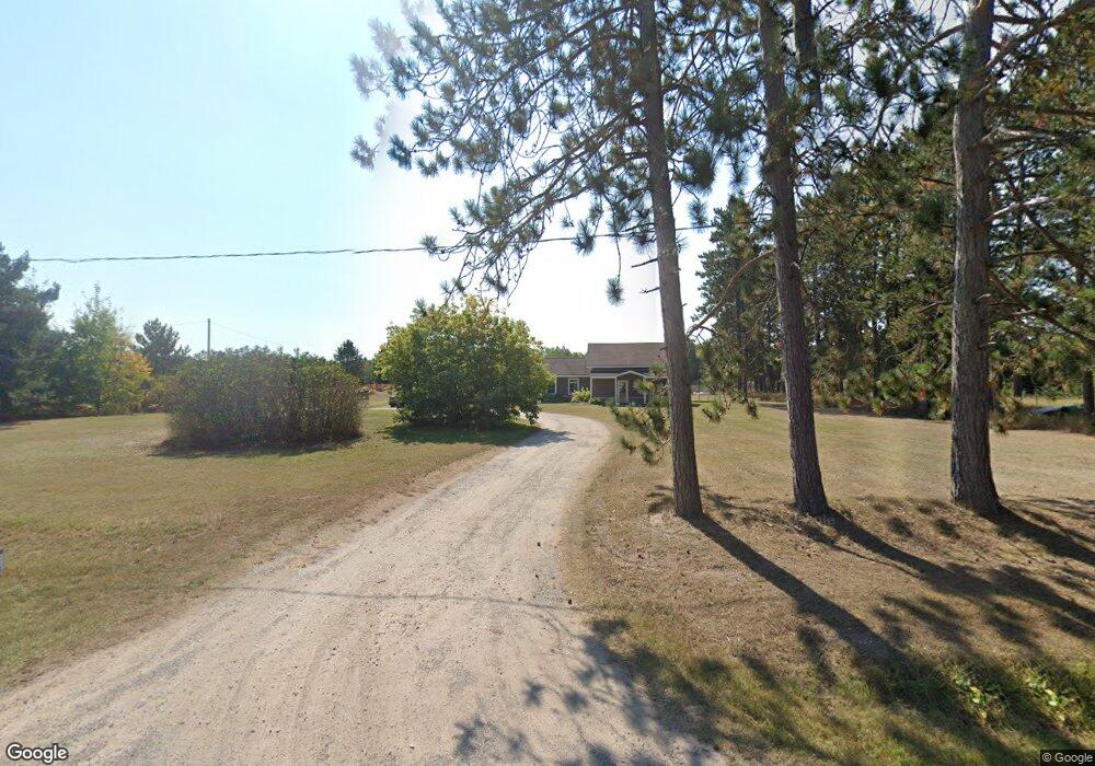
6848 Mill St Pellston, MI 49769
Estimated Value: $242,000 - $344,766
2
Beds
1
Bath
1,434
Sq Ft
$204/Sq Ft
Est. Value
About This Home
This home is located at 6848 Mill St, Pellston, MI 49769 and is currently estimated at $292,255, approximately $203 per square foot. 6848 Mill St is a home located in Emmet County with nearby schools including Pellston Elementary School and Pellston Middle/High School.
Ownership History
Date
Name
Owned For
Owner Type
Purchase Details
Closed on
Sep 29, 2008
Sold by
Federal National Mortgage Association
Bought by
Oneil Rebecca
Current Estimated Value
Home Financials for this Owner
Home Financials are based on the most recent Mortgage that was taken out on this home.
Original Mortgage
$74,441
Outstanding Balance
$49,502
Interest Rate
6.43%
Estimated Equity
$242,753
Purchase Details
Closed on
Mar 23, 2007
Bought by
Federal National Mortgage Assoc
Purchase Details
Closed on
Mar 22, 2007
Bought by
Washington Mutual Bank
Purchase Details
Closed on
Dec 18, 2000
Sold by
Betterley Roger and Betterley Marie
Bought by
Le Ii Grand Robert
Create a Home Valuation Report for This Property
The Home Valuation Report is an in-depth analysis detailing your home's value as well as a comparison with similar homes in the area
Purchase History
| Date | Buyer | Sale Price | Title Company |
|---|---|---|---|
| Oneil Rebecca | $41,000 | -- | |
| Federal National Mortgage Assoc | -- | -- | |
| Federal National Mortgage Association | -- | -- | |
| Washington Mutual Bank | $92,100 | -- | |
| Le Ii Grand Robert | $76,900 | -- |
Source: Public Records
Mortgage History
| Date | Status | Borrower | Loan Amount |
|---|---|---|---|
| Open | Oneil Rebecca | $74,441 |
Source: Public Records
Tax History
| Year | Tax Paid | Tax Assessment Tax Assessment Total Assessment is a certain percentage of the fair market value that is determined by local assessors to be the total taxable value of land and additions on the property. | Land | Improvement |
|---|---|---|---|---|
| 2025 | $2,340 | $155,400 | $155,400 | $0 |
| 2024 | $32 | $134,200 | $134,200 | $0 |
| 2023 | $2,182 | $108,700 | $108,700 | $0 |
| 2022 | $2,182 | $80,300 | $80,300 | $0 |
| 2021 | $2,266 | $76,400 | $76,400 | $0 |
| 2020 | $2,277 | $77,200 | $77,200 | $0 |
| 2019 | -- | $76,300 | $76,300 | $0 |
| 2018 | -- | $63,700 | $63,700 | $0 |
| 2017 | -- | $64,200 | $64,200 | $0 |
| 2016 | -- | $64,500 | $64,500 | $0 |
| 2015 | -- | $61,200 | $0 | $0 |
| 2014 | -- | $60,100 | $0 | $0 |
Source: Public Records
Map
Nearby Homes
- 6809 Tremble Trail
- 6421 Airport Crossing Rd Unit 1
- 8959 Robinson Rd
- 7689 Sand Rd
- 2526 Gregory Rd
- TBD Hardwood Rd
- TBD Teal Rd
- 4333 U S 31
- 5380 Burt Lake Views Dr
- 10826 Chickagami Trail
- 3954 Valley Rd
- 10820 Ingleside Rd
- 10999 Koepke Rd
- 10222 W Munro Lake Dr
- 6213 Maple St
- 1830 Indian Point Rd
- 1442 Indian Point Rd
- 6167 Lambert Dr
- 3840 E Levering Rd
- 6737 Honeysette Rd
- 6844 Mill St
- 00 Townline Rd Unit Lot 5
- 0 Townline Rd
- 0 Townline Rd Unit 5.4 ACRES 281565
- 0 Townline Rd Unit 5.4 ACRES 273853
- 0 Townline Rd Unit (5.4 ACRES) 263196
- 88 Townline Rd
- 7127 Robinson Rd
- 130 Townline Rd
- 7227 Robinson Rd
- 168 Townline Rd
- 6709 Mill St
- 182 Townline Rd
- 6705 Mill St
- 7273 Robinson Rd
- 7273 Robinson Rd
- 280 Townline Rd
- 264 Townline Rd
- 6635 Mill St
- 6815 Maple Dr
Your Personal Tour Guide
Ask me questions while you tour the home.