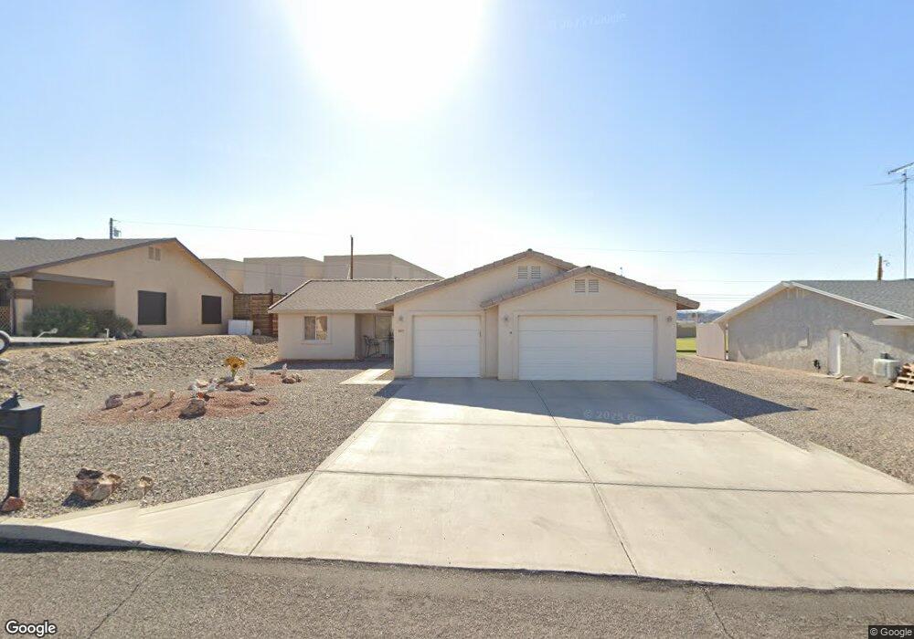
685 Apache Dr Lake Havasu City, AZ 86406
Estimated Value: $415,000 - $461,000
3
Beds
1
Bath
1,309
Sq Ft
$335/Sq Ft
Est. Value
About This Home
This home is located at 685 Apache Dr, Lake Havasu City, AZ 86406 and is currently estimated at $438,787, approximately $335 per square foot. 685 Apache Dr is a home located in Mohave County with nearby schools including Starline Elementary School, Thunderbolt Middle School, and Lake Havasu High School.
Ownership History
Date
Name
Owned For
Owner Type
Purchase Details
Closed on
Dec 20, 2006
Sold by
Quintana Antonio J and Quintana Sylvia M
Bought by
Evans Anthony and Evans Jaqueline A
Current Estimated Value
Home Financials for this Owner
Home Financials are based on the most recent Mortgage that was taken out on this home.
Original Mortgage
$201,950
Outstanding Balance
$113,507
Interest Rate
5.25%
Mortgage Type
Purchase Money Mortgage
Estimated Equity
$325,280
Purchase Details
Closed on
Mar 18, 1999
Sold by
Mcdonald John R and Mcdonald Samantha W
Bought by
Quintana Antonio J and Quintana Sylvia M
Create a Home Valuation Report for This Property
The Home Valuation Report is an in-depth analysis detailing your home's value as well as a comparison with similar homes in the area
Home Values in the Area
Average Home Value in this Area
Purchase History
| Date | Buyer | Sale Price | Title Company |
|---|---|---|---|
| Evans Anthony | $252,450 | Chicago Title Insurance Co | |
| Quintana Antonio J | $90,900 | First American Title Ins Co |
Source: Public Records
Mortgage History
| Date | Status | Borrower | Loan Amount |
|---|---|---|---|
| Open | Evans Anthony | $201,950 |
Source: Public Records
Tax History Compared to Growth
Tax History
| Year | Tax Paid | Tax Assessment Tax Assessment Total Assessment is a certain percentage of the fair market value that is determined by local assessors to be the total taxable value of land and additions on the property. | Land | Improvement |
|---|---|---|---|---|
| 2026 | -- | -- | -- | -- |
| 2025 | $1,263 | $33,980 | $0 | $0 |
| 2024 | $1,263 | $36,614 | $0 | $0 |
| 2023 | $1,263 | $30,846 | $0 | $0 |
| 2022 | $1,216 | $23,329 | $0 | $0 |
| 2021 | $1,404 | $21,642 | $0 | $0 |
| 2019 | $1,336 | $18,598 | $0 | $0 |
| 2018 | $1,292 | $17,503 | $0 | $0 |
| 2017 | $1,271 | $16,876 | $0 | $0 |
| 2016 | $1,129 | $15,594 | $0 | $0 |
| 2015 | $1,100 | $13,504 | $0 | $0 |
Source: Public Records
Map
Nearby Homes
- 2970 War Eagle Dr
- 3135 Cotati Dr
- 532 Roanoke Dr
- 2910 Coconino Dr
- 700 Apache Dr
- 786 Powder Dr
- 3150 Star Dr
- 3066 Star Dr
- 3040 Gypsy Dr
- 680 Yosemite Dr
- 2951 Saddleback Dr
- 2997 Edgewood Dr
- 2890 Yuma Dr
- 815 Rolling Hills Plaza N
- 2876 Plaza Del Oro
- 691 Rolling Hills Dr
- 670 Avenida Laredo
- 2820 Indian Springs Dr
- 850 Thunderbolt Ave
- 3261 Thundercloud Dr