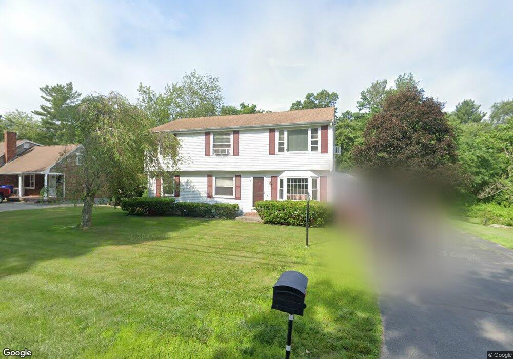
685 Burt St Taunton, MA 02780
Wades Corner NeighborhoodEstimated Value: $560,103 - $667,000
About This Home
This home is located at 685 Burt St, Taunton, MA 02780 and is currently estimated at $631,776, approximately $298 per square foot. 685 Burt St is a home located in Bristol County with nearby schools including Edmund Hatch Bennett School, Benjamin Friedman Middle School, and Taunton High School.
Ownership History
We collect this data history from publicly available records. To have your information removed, we recommend requesting removal directly through your county’s website.
Purchase Details
Home Financials for this Owner
Home Financials are based on the most recent Mortgage that was taken out on this home.Home Values in the Area
Average Home Value in this Area
Purchase History
We collect this data history from publicly available records. To have your information removed, we recommend requesting removal directly through your county’s website.
| Date | Buyer | Sale Price | Title Company |
|---|---|---|---|
| $155,000 | -- |
Mortgage History
We collect this data history from publicly available records. To have your information removed, we recommend requesting removal directly through your county’s website.
| Date | Status | Borrower | Loan Amount |
|---|---|---|---|
| Open | $70,000 |
Tax History
We collect this data history from publicly available records. To have your information removed, we recommend requesting removal directly through your county’s website.
| Year | Tax Paid | Tax Assessment Tax Assessment Total Assessment is a certain percentage of the fair market value that is determined by local assessors to be the total taxable value of land and additions on the property. | Land | Improvement |
|---|---|---|---|---|
| 2025 | $5,888 | $538,200 | $118,500 | $419,700 |
| 2024 | $5,376 | $480,400 | $118,500 | $361,900 |
| 2023 | $5,018 | $416,400 | $118,500 | $297,900 |
| 2022 | $4,679 | $355,000 | $98,700 | $256,300 |
| 2021 | $4,076 | $319,500 | $89,700 | $229,800 |
| 2020 | $3,711 | $297,000 | $89,700 | $207,300 |
| 2019 | $3,578 | $254,100 | $89,700 | $164,400 |
| 2018 | $3,850 | $244,900 | $90,700 | $154,200 |
| 2017 | $3,195 | $225,800 | $85,900 | $139,900 |
| 2016 | $3,381 | $215,600 | $83,400 | $132,200 |
| 2015 | $2,979 | $198,500 | $81,000 | $117,500 |
| 2014 | $2,900 | $198,500 | $81,000 | $117,500 |
Map
- 0 Kimberly Rd
- 24 Laneway St
- 260 Glebe St
- Lot 1 Glebe St
- Lot A Glebe St
- 240 Burt St
- 701 Winthrop St Unit 316
- 7 Jocelyn Cir
- 157 Walker St
- 462 Tremont St
- 195 Alanita Dr
- 587 Tremont St
- 429A Winthrop St
- 25 Arbor Way
- Lot 6 Tremont St
- 9 Round Farm Rd
- 2471 Chestnut St
- 52 Round Farm Rd
- 124 N Walker St
- 1 Round Farm Rd
Ask me questions while you tour the home.