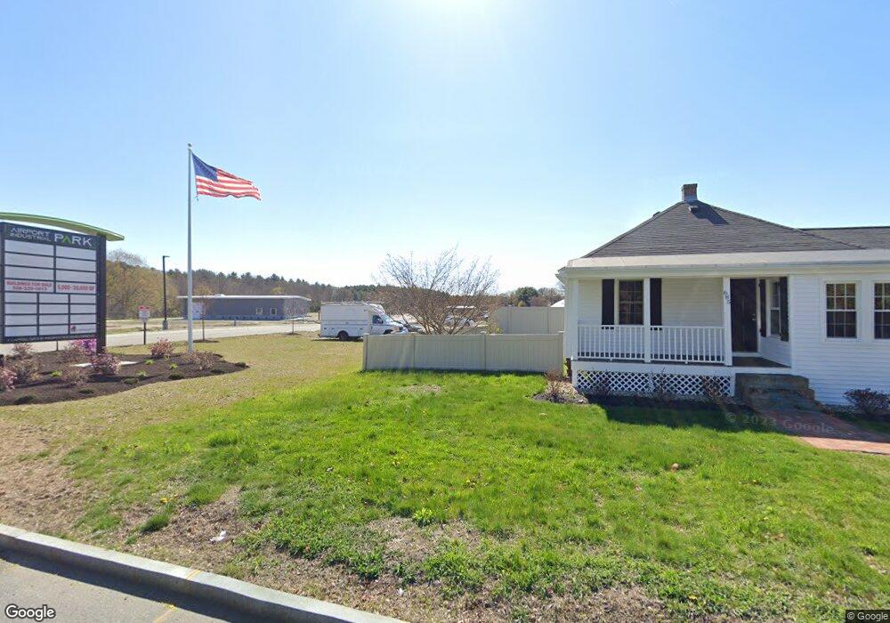
685 Farm Rd Marlborough, MA 01752
Estimated Value: $469,171 - $518,000
1
Bed
1
Bath
948
Sq Ft
$525/Sq Ft
Est. Value
About This Home
This home is located at 685 Farm Rd, Marlborough, MA 01752 and is currently estimated at $497,293, approximately $524 per square foot. 685 Farm Rd is a home located in Middlesex County with nearby schools including Marlborough High School, New Covenant Christian School, and Glenhaven Academy - JRI School.
Ownership History
Date
Name
Owned For
Owner Type
Purchase Details
Closed on
Jul 1, 2019
Sold by
Stetson Robert Jr Est
Bought by
Marlborough Industrial
Current Estimated Value
Purchase Details
Closed on
Sep 3, 2009
Sold by
Kinney Timothy S and Stetson Anita M
Bought by
Stetson G Robert and Stetson Sandra A
Home Financials for this Owner
Home Financials are based on the most recent Mortgage that was taken out on this home.
Original Mortgage
$130,000
Interest Rate
5.21%
Mortgage Type
Purchase Money Mortgage
Purchase Details
Closed on
Aug 20, 1999
Sold by
Nunes Katherine E
Bought by
Marlborough Airport
Home Financials for this Owner
Home Financials are based on the most recent Mortgage that was taken out on this home.
Original Mortgage
$50,000
Interest Rate
7.65%
Purchase Details
Closed on
Jan 11, 1999
Sold by
Lacouture Donald V
Bought by
Marlbrgh Airport Prop
Create a Home Valuation Report for This Property
The Home Valuation Report is an in-depth analysis detailing your home's value as well as a comparison with similar homes in the area
Home Values in the Area
Average Home Value in this Area
Purchase History
| Date | Buyer | Sale Price | Title Company |
|---|---|---|---|
| Marlborough Industrial | $400,000 | -- | |
| Stetson G Robert | $162,500 | -- | |
| Marlborough Airport | $249,500 | -- | |
| Marlbrgh Airport Prop | $237,000 | -- |
Source: Public Records
Mortgage History
| Date | Status | Borrower | Loan Amount |
|---|---|---|---|
| Previous Owner | Stetson G Robert | $130,000 | |
| Previous Owner | Marlbrgh Airport Prop | $50,000 | |
| Previous Owner | Marlbrgh Airport Prop | $50,000 | |
| Previous Owner | Marlbrgh Airport Prop | $0 |
Source: Public Records
Tax History Compared to Growth
Tax History
| Year | Tax Paid | Tax Assessment Tax Assessment Total Assessment is a certain percentage of the fair market value that is determined by local assessors to be the total taxable value of land and additions on the property. | Land | Improvement |
|---|---|---|---|---|
| 2025 | $3,635 | $368,700 | $225,100 | $143,600 |
| 2024 | $3,611 | $352,600 | $204,600 | $148,000 |
| 2023 | $3,860 | $334,500 | $174,400 | $160,100 |
| 2022 | $3,591 | $273,700 | $166,100 | $107,600 |
| 2021 | $3,461 | $250,800 | $138,400 | $112,400 |
| 2020 | $3,419 | $241,100 | $131,900 | $109,200 |
| 2019 | $3,359 | $238,700 | $129,200 | $109,500 |
| 2018 | $3,012 | $205,900 | $107,800 | $98,100 |
| 2017 | $2,828 | $184,600 | $105,700 | $78,900 |
| 2016 | $2,712 | $176,800 | $105,700 | $71,100 |
Source: Public Records
Map
Nearby Homes
- 29 Eldorado Dr
- 10 Eldorado Dr
- 552 Farm Rd
- 32 Ethel
- 20 Virginia Ave
- 109 Westminster Dr Unit 109
- 53 Wagon Hill Rd
- 34 Muir Way
- 596 Boston Post Rd E Unit 13
- 596 Boston Post Rd E
- 608 Boston Post Rd E Unit 11
- 23 Victoria Ln
- 16 Holly Hill Ln
- 624 Boston Post Rd E Unit 7
- 271 Boston Post Rd E Unit 4
- 261 Boston Post Rd E Unit 1
- 23 Shelly Ln
- 11 Azalea Ln
- 100 Phelps St Unit 7
- 688 Boston Post Rd E Unit 304
- 116 Airport Rd
- 119 Airport Rd
- 3 Airport Rd
- 1 Airport Rd Unit 20
- 19 Airport Rd
- 20 Airport Rd
- 1 Airport Rd
- 11 Airport Rd
- 694 Farm Rd
- 676 Farm Rd Unit 9
- 676 Farm Rd Unit 8
- 676 Farm Rd Unit 7
- 676 Farm Rd Unit 6
- 676 Farm Rd Unit 5
- 676 Farm Rd Unit 4
- 676 Farm Rd Unit 3
- 676 Farm Rd Unit 2
- 676 Farm Rd Unit 12
- 676 Farm Rd Unit 11
- 676 Farm Rd Unit 10