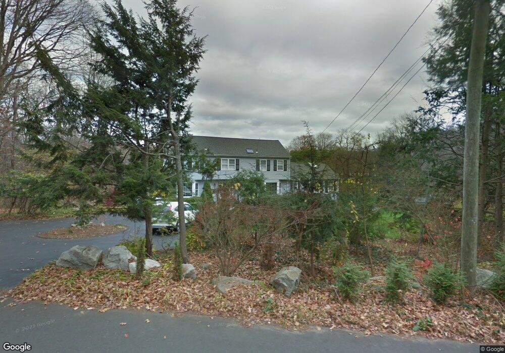
685 Laurel Rd New Canaan, CT 06840
Estimated Value: $2,229,000 - $3,187,000
4
Beds
5
Baths
3,340
Sq Ft
$781/Sq Ft
Est. Value
About This Home
This home is located at 685 Laurel Rd, New Canaan, CT 06840 and is currently estimated at $2,608,647, approximately $781 per square foot. 685 Laurel Rd is a home located in Fairfield County with nearby schools including East Elementary School, Saxe Middle School, and New Canaan High School.
Ownership History
Date
Name
Owned For
Owner Type
Purchase Details
Closed on
Jun 16, 2000
Sold by
Coviello Philip E and Coviello Carole R
Bought by
Stanhope-Sparks M
Current Estimated Value
Home Financials for this Owner
Home Financials are based on the most recent Mortgage that was taken out on this home.
Original Mortgage
$300,000
Outstanding Balance
$105,083
Interest Rate
8.13%
Estimated Equity
$2,503,564
Create a Home Valuation Report for This Property
The Home Valuation Report is an in-depth analysis detailing your home's value as well as a comparison with similar homes in the area
Home Values in the Area
Average Home Value in this Area
Purchase History
| Date | Buyer | Sale Price | Title Company |
|---|---|---|---|
| Stanhope-Sparks M | $1,360,000 | -- |
Source: Public Records
Mortgage History
| Date | Status | Borrower | Loan Amount |
|---|---|---|---|
| Open | Stanhope-Sparks M | $300,000 | |
| Previous Owner | Stanhope-Sparks M | $600,000 |
Source: Public Records
Tax History Compared to Growth
Tax History
| Year | Tax Paid | Tax Assessment Tax Assessment Total Assessment is a certain percentage of the fair market value that is determined by local assessors to be the total taxable value of land and additions on the property. | Land | Improvement |
|---|---|---|---|---|
| 2025 | $19,215 | $1,151,290 | $687,750 | $463,540 |
| 2024 | $18,582 | $1,151,290 | $687,750 | $463,540 |
| 2023 | $15,749 | $831,530 | $578,340 | $253,190 |
| 2022 | $15,275 | $831,530 | $578,340 | $253,190 |
| 2021 | $15,101 | $831,530 | $578,340 | $253,190 |
| 2020 | $15,101 | $831,530 | $578,340 | $253,190 |
| 2019 | $15,167 | $831,530 | $578,340 | $253,190 |
| 2018 | $17,267 | $1,018,080 | $612,080 | $406,000 |
| 2017 | $16,971 | $1,018,080 | $612,080 | $406,000 |
| 2016 | $16,605 | $1,018,080 | $612,080 | $406,000 |
| 2015 | $16,279 | $1,018,080 | $612,080 | $406,000 |
| 2014 | $15,821 | $1,018,080 | $612,080 | $406,000 |
Source: Public Records
Map
Nearby Homes
- 650 Laurel Rd
- 1187 Smith Ridge Rd
- 469, 531,533 N Wilton Rd
- 469L N Wilton Rd
- 531L N Wilton Rd
- 533L N Wilton Rd
- 22 Father Peters Ln
- 44 Benedict Hill Rd
- 62 Summersweet Ln
- 760 Valley Rd
- 561 Smith Ridge Rd
- 37 East St
- 1247 Oenoke Ridge
- 439 Cheese Spring Rd
- 1421 Oenoke Ridge
- 199 Mariomi Rd
- 122 Brookwood Ln
- 48 Brookwood Ln
- 114 Ferris Hill Rd
- 30 Wild Duck Rd
- 651 Laurel Rd
- 701 Laurel Rd
- 635 Laurel Rd
- 676 Laurel Rd
- 729 Laurel Rd
- 612 Laurel Rd
- 607 Laurel Rd
- 110 Soundview Ln
- 174 Soundview Ln
- 144 Soundview Ln
- 87 N Wilton Rd
- 581 Laurel Rd
- 167 N Wilton Rd
- 155 Soundview Ln
- 76 Soundview Ln
- 183 Soundview Ln
- 49 N Wilton Rd
- 131 Soundview Ln
- N Wilton Rd
- 293 N Wilton Rd