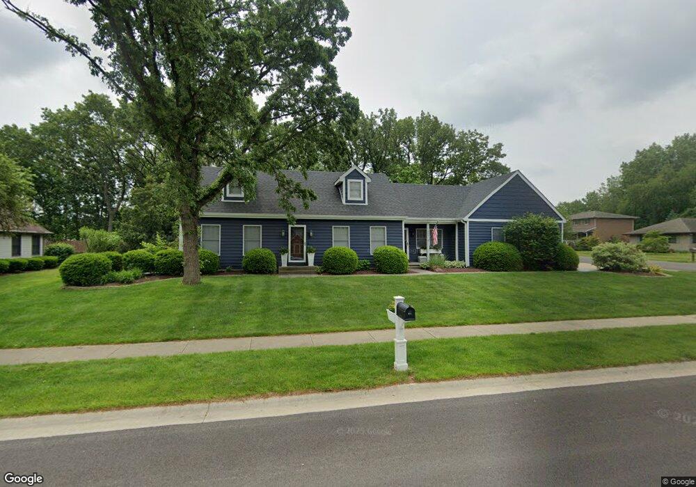
685 Michael Dr Morris, IL 60450
Estimated Value: $312,000 - $379,173
Studio
--
Bath
1,624
Sq Ft
$216/Sq Ft
Est. Value
About This Home
This home is located at 685 Michael Dr, Morris, IL 60450 and is currently estimated at $350,293, approximately $215 per square foot. 685 Michael Dr is a home located in Grundy County with nearby schools including Saratoga Elementary School, Morris Community High School, and Immaculate Conception School.
Create a Home Valuation Report for This Property
The Home Valuation Report is an in-depth analysis detailing your home's value as well as a comparison with similar homes in the area
Tax History
| Year | Tax Paid | Tax Assessment Tax Assessment Total Assessment is a certain percentage of the fair market value that is determined by local assessors to be the total taxable value of land and additions on the property. | Land | Improvement |
|---|---|---|---|---|
| 2024 | $10,945 | $139,854 | $22,254 | $117,600 |
| 2023 | $10,308 | $131,714 | $20,959 | $110,755 |
| 2022 | $9,508 | $121,485 | $19,331 | $102,154 |
| 2021 | $9,118 | $114,891 | $18,282 | $96,609 |
| 2020 | $9,015 | $111,957 | $17,815 | $94,142 |
| 2019 | $8,498 | $106,120 | $16,886 | $89,234 |
| 2018 | $8,366 | $104,061 | $16,558 | $87,503 |
| 2017 | $7,874 | $98,589 | $15,687 | $82,902 |
| 2016 | $7,799 | $97,816 | $15,564 | $82,252 |
| 2015 | $7,316 | $93,900 | $14,941 | $78,959 |
| 2014 | $7,121 | $91,449 | $14,551 | $76,898 |
| 2013 | $7,239 | $95,090 | $15,130 | $79,960 |
Source: Public Records
Map
Nearby Homes
- 523 Bedford Rd
- 1810 Jana Ln
- 00 U S 6
- 936 Thomas Dr
- 957 Thomas Dr
- 85 Carriage Dr
- 1301 Union St
- 1246 Wauponsee St
- 109 Doe Cir
- Lot 1 W Commercial St
- Lot 3 Heron Lake Ct
- 1595 W Us Rte 6
- 1.88 Acres Rd
- 1112 & 1112 1/2 Butler St
- 1368 Heritage Dr
- 1466 Mollie Dr
- 1220 Liberty St
- 0000 Lakewood Dr
- 1180 Lakewood Dr
- 2380 Chestnut Ln
Your Personal Tour Guide
Ask me questions while you tour the home.