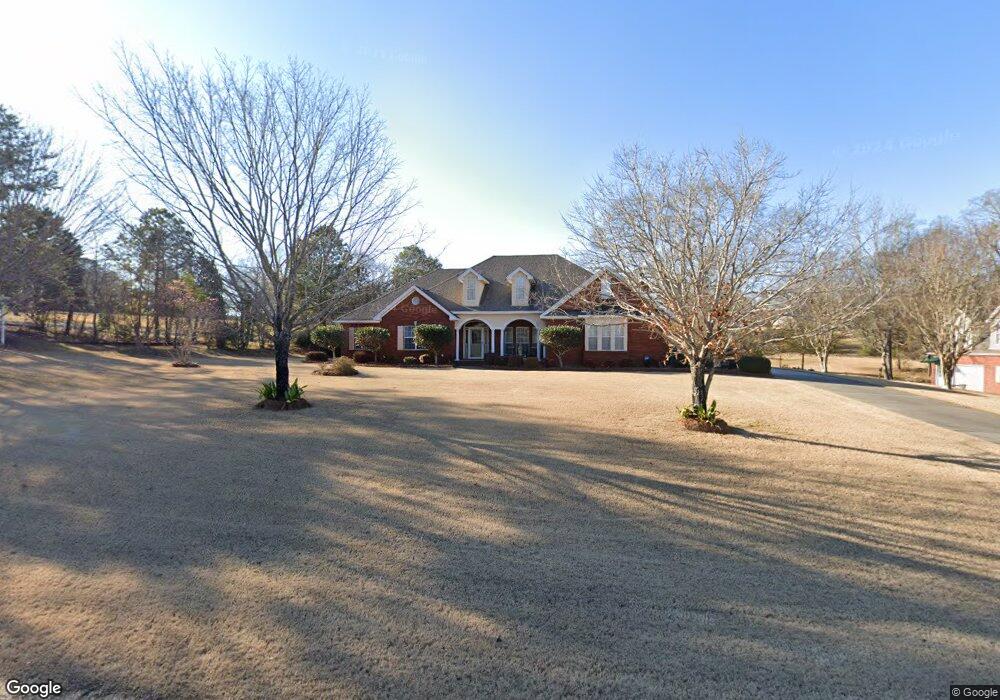
685 Myrick Rd Deatsville, AL 36022
Estimated Value: $330,000 - $489,000
Studio
1
Bath
2,461
Sq Ft
$158/Sq Ft
Est. Value
About This Home
This home is located at 685 Myrick Rd, Deatsville, AL 36022 and is currently estimated at $388,227, approximately $157 per square foot. 685 Myrick Rd is a home located in Elmore County with nearby schools including Coosada Elementary School, Airport Road Intermediate School, and Millbrook Middle Junior High School.
Ownership History
Date
Name
Owned For
Owner Type
Purchase Details
Closed on
Aug 20, 2020
Sold by
Williams Gary J and Williams Charlotte
Bought by
Ahrendt Dean R and Ahrendt Patricia L
Current Estimated Value
Home Financials for this Owner
Home Financials are based on the most recent Mortgage that was taken out on this home.
Original Mortgage
$310,500
Outstanding Balance
$218,881
Interest Rate
3%
Mortgage Type
New Conventional
Estimated Equity
$169,346
Create a Home Valuation Report for This Property
The Home Valuation Report is an in-depth analysis detailing your home's value as well as a comparison with similar homes in the area
Purchase History
| Date | Buyer | Sale Price | Title Company |
|---|---|---|---|
| Ahrendt Dean R | $345,000 | None Available |
Source: Public Records
Mortgage History
| Date | Status | Borrower | Loan Amount |
|---|---|---|---|
| Open | Ahrendt Dean R | $310,500 |
Source: Public Records
Tax History
| Year | Tax Paid | Tax Assessment Tax Assessment Total Assessment is a certain percentage of the fair market value that is determined by local assessors to be the total taxable value of land and additions on the property. | Land | Improvement |
|---|---|---|---|---|
| 2024 | $1,026 | $33,960 | $0 | $0 |
| 2023 | $1,026 | $339,520 | $68,250 | $271,270 |
| 2022 | $755 | $26,628 | $6,825 | $19,803 |
| 2021 | $755 | $26,628 | $6,825 | $19,803 |
| 2020 | $0 | $26,628 | $6,825 | $19,803 |
| 2019 | $0 | $26,838 | $6,825 | $20,013 |
| 2018 | $0 | $25,728 | $6,825 | $18,903 |
| 2017 | $511 | $25,720 | $6,823 | $18,897 |
| 2016 | $772 | $25,728 | $6,825 | $18,903 |
| 2014 | -- | $266,150 | $67,380 | $198,770 |
Source: Public Records
Map
Nearby Homes
- 850 Myrick Rd
- 227 Mcrae Rd
- 249 Spencer Way
- 61 Red Oak Dr
- 460 Spring Hollow Dr
- 485 Kenner Creek Rd
- 882 Richfield Rd
- 485 Spring Hollow Dr
- 103 Brookshire Dr
- 20 Green Laurel Cove
- 62 Spruce Knoll Ln
- Parcel 2 White Tail Ridge
- 212 Spruce Knoll Ln
- 1 Ridgedale Ln Unit 2
- 701 Ridgedale Ln
- 1742 Deatsville Hwy
- 108 Foxdale Rd
- 57 Sunnybrook Ct
- 73 Reid Cir
- 227 Azalea Dr
Your Personal Tour Guide
Ask me questions while you tour the home.