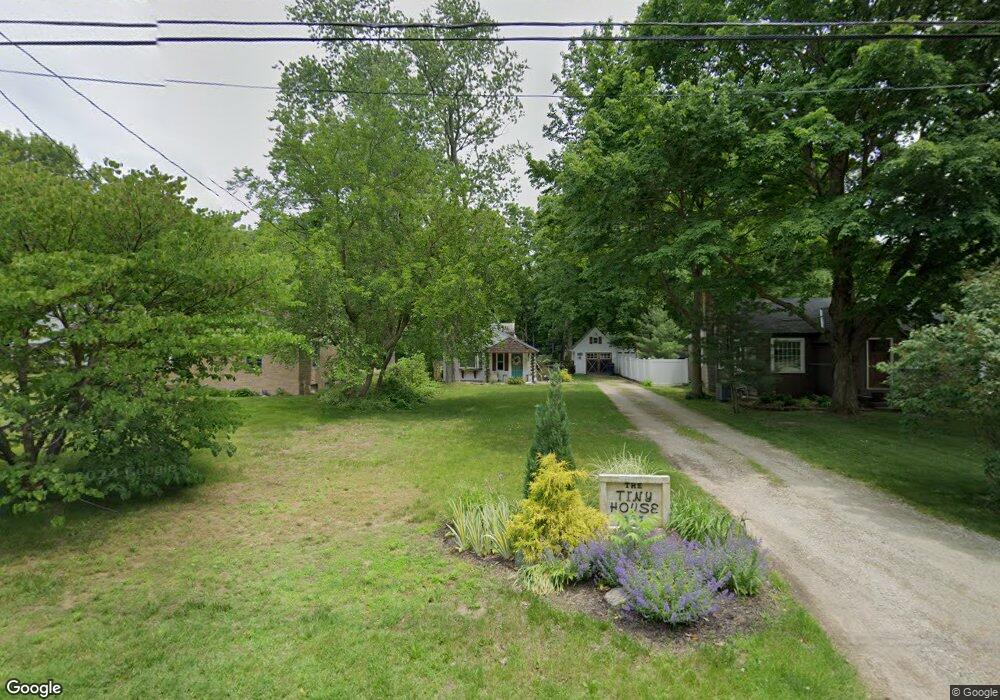
685 Myrtle Ave Holland, MI 49423
Westside NeighborhoodEstimated Value: $192,000 - $240,000
1
Bed
1
Bath
671
Sq Ft
$317/Sq Ft
Est. Value
About This Home
This home is located at 685 Myrtle Ave, Holland, MI 49423 and is currently estimated at $212,386, approximately $316 per square foot. 685 Myrtle Ave is a home located in Ottawa County with nearby schools including Maplewood, Holland High School, and Vanderbilt Charter Academy.
Ownership History
Date
Name
Owned For
Owner Type
Purchase Details
Closed on
Oct 10, 2019
Sold by
Cilella Joseph R and Cilella Frances M
Bought by
Hengst Meagan Joy
Current Estimated Value
Purchase Details
Closed on
Oct 5, 2012
Sold by
Cilella Joe and Cilella Frances M
Bought by
Cilella Joseph P and Cilella Frances M
Purchase Details
Closed on
Feb 9, 2006
Sold by
Crossroad Realty Lakeshore Llc
Bought by
Cilella Joe
Purchase Details
Closed on
Oct 11, 2004
Sold by
Safe Harbor Group Llc
Bought by
Crossroads Realty Lakeshore Llc
Purchase Details
Closed on
May 18, 2004
Sold by
Dewitt Michelle
Bought by
Safe Harbor Group Llc
Home Financials for this Owner
Home Financials are based on the most recent Mortgage that was taken out on this home.
Original Mortgage
$90,000
Interest Rate
5.99%
Mortgage Type
Seller Take Back
Purchase Details
Closed on
Jun 9, 1995
Sold by
Principle Properties
Bought by
Dewitt Michelle
Create a Home Valuation Report for This Property
The Home Valuation Report is an in-depth analysis detailing your home's value as well as a comparison with similar homes in the area
Home Values in the Area
Average Home Value in this Area
Purchase History
| Date | Buyer | Sale Price | Title Company |
|---|---|---|---|
| Hengst Meagan Joy | $70,000 | Premier Lakeshore Ttl Agcy L | |
| Cilella Joseph P | -- | None Available | |
| Cilella Joe | -- | Metropolitan Title Company | |
| Crossroads Realty Lakeshore Llc | -- | Chicago Title | |
| Safe Harbor Group Llc | $100,000 | Lighthouse Title Inc | |
| Dewitt Michelle | -- | -- |
Source: Public Records
Mortgage History
| Date | Status | Borrower | Loan Amount |
|---|---|---|---|
| Previous Owner | Safe Harbor Group Llc | $90,000 |
Source: Public Records
Tax History Compared to Growth
Tax History
| Year | Tax Paid | Tax Assessment Tax Assessment Total Assessment is a certain percentage of the fair market value that is determined by local assessors to be the total taxable value of land and additions on the property. | Land | Improvement |
|---|---|---|---|---|
| 2025 | $2,073 | $72,200 | $0 | $0 |
| 2024 | $2,073 | $68,300 | $0 | $0 |
| 2023 | $3,863 | $61,400 | $0 | $0 |
| 2022 | $1,841 | $54,600 | $0 | $0 |
| 2021 | $1,791 | $47,300 | $0 | $0 |
| 2020 | $1,787 | $42,300 | $0 | $0 |
| 2019 | $1,869 | $37,100 | $0 | $0 |
| 2018 | $1,784 | $38,200 | $0 | $0 |
| 2017 | $1,735 | $38,200 | $0 | $0 |
| 2016 | $1,735 | $33,600 | $0 | $0 |
| 2015 | $1,690 | $31,200 | $0 | $0 |
| 2014 | $1,690 | $30,000 | $0 | $0 |
Source: Public Records
Map
Nearby Homes
- 1092 S Shore Dr
- 1130 S Shore Dr
- 634 Blackbass Ave
- 1254 S Shore Dr
- 1200 Beach Dr
- 1337 Heather Dr
- 6147 Lake Wind Ave Unit lot 62
- 655 Lugers Rd
- 663 Lugers Rd
- 1331 Bayview Dr
- 1329 Bayview Dr
- 879 W 26th St
- 886 Creekridge Dr
- 6329 147th Ave
- 766 Clarewood Ct
- 1504 S Shore Dr
- 814 Bertsch Dr
- 6262 147th Ave
- 833 Allen Dr
- 776 Meadowbrook Ave
