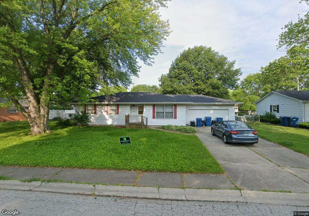
685 Robert Dr Bourbonnais, IL 60914
Estimated Value: $202,000 - $235,000
3
Beds
2
Baths
1,220
Sq Ft
$180/Sq Ft
Est. Value
About This Home
This home is located at 685 Robert Dr, Bourbonnais, IL 60914 and is currently estimated at $219,593, approximately $179 per square foot. 685 Robert Dr is a home located in Kankakee County with nearby schools including Shabbona Elementary School, Liberty Intermediate School, and Bourbonnais Upper Grade Center.
Ownership History
Date
Name
Owned For
Owner Type
Purchase Details
Closed on
Dec 21, 2017
Sold by
Laga Sandra L
Bought by
Sain Richard W and Laga Sandra L
Current Estimated Value
Purchase Details
Closed on
Jul 19, 2017
Sold by
Streisel John A
Bought by
Laga Sandra L
Home Financials for this Owner
Home Financials are based on the most recent Mortgage that was taken out on this home.
Original Mortgage
$92,000
Interest Rate
4%
Mortgage Type
New Conventional
Create a Home Valuation Report for This Property
The Home Valuation Report is an in-depth analysis detailing your home's value as well as a comparison with similar homes in the area
Home Values in the Area
Average Home Value in this Area
Purchase History
| Date | Buyer | Sale Price | Title Company |
|---|---|---|---|
| Sain Richard W | -- | -- | |
| Laga Sandra L | $115,000 | Kankakee County Title Co |
Source: Public Records
Mortgage History
| Date | Status | Borrower | Loan Amount |
|---|---|---|---|
| Previous Owner | Laga Sandra L | $92,000 |
Source: Public Records
Tax History
| Year | Tax Paid | Tax Assessment Tax Assessment Total Assessment is a certain percentage of the fair market value that is determined by local assessors to be the total taxable value of land and additions on the property. | Land | Improvement |
|---|---|---|---|---|
| 2024 | $2,376 | $55,090 | $6,562 | $48,528 |
| 2023 | $2,360 | $51,009 | $6,076 | $44,933 |
| 2022 | $2,459 | $49,165 | $5,856 | $43,309 |
| 2021 | $2,474 | $44,586 | $5,727 | $38,859 |
| 2020 | $2,523 | $42,291 | $5,574 | $36,717 |
| 2019 | $2,550 | $39,689 | $5,412 | $34,277 |
| 2018 | $2,542 | $39,504 | $5,332 | $34,172 |
| 2017 | $2,472 | $38,541 | $5,202 | $33,339 |
| 2016 | $908 | $37,646 | $5,125 | $32,521 |
| 2015 | $920 | $37,930 | $5,074 | $32,856 |
| 2014 | $883 | $33,090 | $5,074 | $28,016 |
| 2013 | -- | $37,930 | $5,074 | $32,856 |
Source: Public Records
Map
Nearby Homes
- 675 Washington Ave
- 899 Armour Rd
- 260 W Country Ct
- 273 Harvard Ave
- 1063 Yale Ave
- 1355 N Arthur Burch Dr Unit R21
- 206 Meadows Rd S
- 250 N Levasseur Ave
- 287 Belle Aire Ave
- 179 N Levasseur Ave
- 1325 N Arthur Burch Dr Unit B16
- 530 Meadows Rd S
- 214 Greenbriar Ln
- 141 Pfitzer Dr
- Lot 5 Larry Power Rd
- 609 Ivy Ln
- 9 Hilltop Dr
- 42 Hanson Dr
- 59 Hanson Dr
- 22 Emery Dr
Your Personal Tour Guide
Ask me questions while you tour the home.