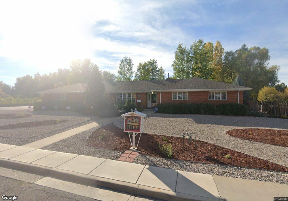
685 S 4th St Lander, WY 82520
Estimated Value: $621,000 - $955,000
3
Beds
3
Baths
2,096
Sq Ft
$339/Sq Ft
Est. Value
About This Home
This home is located at 685 S 4th St, Lander, WY 82520 and is currently estimated at $710,922, approximately $339 per square foot. 685 S 4th St is a home located in Fremont County with nearby schools including Lander Valley High School and Lander Christian Academy.
Ownership History
Date
Name
Owned For
Owner Type
Purchase Details
Closed on
Jul 23, 2018
Sold by
Boyle John Charles and Boyle Amy Douglass
Bought by
Haper Mary D and Haper Rodney E
Current Estimated Value
Home Financials for this Owner
Home Financials are based on the most recent Mortgage that was taken out on this home.
Original Mortgage
$370,000
Outstanding Balance
$319,988
Interest Rate
4.5%
Mortgage Type
New Conventional
Estimated Equity
$390,934
Purchase Details
Closed on
Jun 24, 2013
Sold by
Boyle John Charles and Boyle Amy Douglas
Bought by
Boyle John Charles and Boyle Amy Douglass
Create a Home Valuation Report for This Property
The Home Valuation Report is an in-depth analysis detailing your home's value as well as a comparison with similar homes in the area
Home Values in the Area
Average Home Value in this Area
Purchase History
| Date | Buyer | Sale Price | Title Company |
|---|---|---|---|
| Haper Mary D | -- | First American Title Ins Co | |
| Boyle John Charles | -- | None Available |
Source: Public Records
Mortgage History
| Date | Status | Borrower | Loan Amount |
|---|---|---|---|
| Open | Haper Mary D | $370,000 |
Source: Public Records
Tax History
| Year | Tax Paid | Tax Assessment Tax Assessment Total Assessment is a certain percentage of the fair market value that is determined by local assessors to be the total taxable value of land and additions on the property. | Land | Improvement |
|---|---|---|---|---|
| 2025 | $5,328 | $53,688 | $4,752 | $48,936 |
| 2024 | $5,328 | $69,036 | $6,336 | $62,700 |
| 2023 | $5,501 | $71,843 | $5,796 | $66,047 |
| 2022 | $4,598 | $61,381 | $5,796 | $55,585 |
| 2021 | $4,042 | $52,220 | $5,372 | $46,848 |
| 2020 | $3,871 | $50,109 | $5,372 | $44,737 |
| 2019 | $3,825 | $48,716 | $5,342 | $43,374 |
| 2018 | $3,707 | $46,699 | $5,342 | $41,357 |
| 2017 | $3,618 | $45,468 | $5,342 | $40,126 |
| 2016 | $3,089 | $38,881 | $5,342 | $33,539 |
| 2015 | $3,000 | $38,192 | $5,342 | $32,850 |
| 2014 | $2,698 | $34,400 | $5,342 | $29,058 |
Source: Public Records
Map
Nearby Homes
- 388 Cascade St
- 388 Cascade St Unit S. 4th St
- 601 S 4th St
- 434 Cascade St
- 610 S 4th St
- 376 Cascade St
- 448 Cascade St
- 389 Cascade St
- 377 Cliff St
- 620 Brodie St
- 381 Cascade St
- 599 S 4th St
- 354 Cascade St
- 600 Brodie St
- 600 Brodie St Unit S. 5th St
- 466 Cascade St
- 371 Cascade St
- 353 Cliff St
- 580 Brodie St
- 353 Cascade St
Your Personal Tour Guide
Ask me questions while you tour the home.