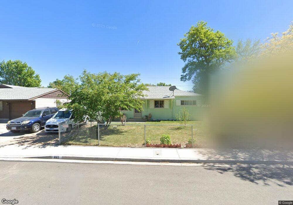
685 Tasker Way Sparks, NV 89431
McCarran Boulevard-Probasco NeighborhoodEstimated Value: $370,251 - $398,000
3
Beds
1
Bath
1,044
Sq Ft
$369/Sq Ft
Est. Value
About This Home
This home is located at 685 Tasker Way, Sparks, NV 89431 and is currently estimated at $385,313, approximately $369 per square foot. 685 Tasker Way is a home located in Washoe County with nearby schools including Florence Drake Elementary School, George L Dilworth Middle School, and Sparks High School.
Ownership History
Date
Name
Owned For
Owner Type
Purchase Details
Closed on
Jan 24, 2007
Sold by
Dorr Marita
Bought by
Raney Carol A and Perry Teresa L
Current Estimated Value
Home Financials for this Owner
Home Financials are based on the most recent Mortgage that was taken out on this home.
Original Mortgage
$200,000
Outstanding Balance
$117,567
Interest Rate
6.1%
Mortgage Type
Unknown
Estimated Equity
$267,746
Create a Home Valuation Report for This Property
The Home Valuation Report is an in-depth analysis detailing your home's value as well as a comparison with similar homes in the area
Home Values in the Area
Average Home Value in this Area
Purchase History
| Date | Buyer | Sale Price | Title Company |
|---|---|---|---|
| Raney Carol A | $200,000 | Founders Title Company Of Nv |
Source: Public Records
Mortgage History
| Date | Status | Borrower | Loan Amount |
|---|---|---|---|
| Open | Raney Carol A | $200,000 |
Source: Public Records
Tax History
| Year | Tax Paid | Tax Assessment Tax Assessment Total Assessment is a certain percentage of the fair market value that is determined by local assessors to be the total taxable value of land and additions on the property. | Land | Improvement |
|---|---|---|---|---|
| 2026 | $498 | $50,756 | $34,090 | $16,666 |
| 2024 | $650 | $45,676 | $30,065 | $15,611 |
| 2023 | $632 | $45,713 | $31,325 | $14,388 |
| 2022 | $615 | $37,887 | $26,180 | $11,707 |
| 2021 | $597 | $29,381 | $17,955 | $11,426 |
| 2020 | $578 | $28,149 | $16,940 | $11,209 |
| 2019 | $561 | $26,485 | $15,890 | $10,595 |
| 2018 | $547 | $21,898 | $11,725 | $10,173 |
| 2017 | $531 | $20,393 | $10,395 | $9,998 |
| 2016 | $517 | $19,343 | $9,345 | $9,998 |
| 2015 | $516 | $17,504 | $7,700 | $9,804 |
| 2014 | $501 | $15,699 | $6,440 | $9,259 |
| 2013 | -- | $13,292 | $4,270 | $9,022 |
Source: Public Records
Map
Nearby Homes
- 705 York Way
- 2455 Coppa Way
- 355 York Way
- 1945 4th St Unit 33
- 1945 4th St Unit 22
- 1945 4th St Unit 51
- 343 Richards Way
- 1940 4th St Unit 20
- 1940 4th St Unit 51
- 1940 4th St Unit 46
- 1023 Tyler Way
- 1025 Tyler Way
- 136 York Way Unit 1
- 465 Lenwood Dr
- 1003 Sbragia Way
- 115 P St
- 314 M St
- 1110 Dodson Way
- 28 Arndell Way
- 8 E O St
Your Personal Tour Guide
Ask me questions while you tour the home.