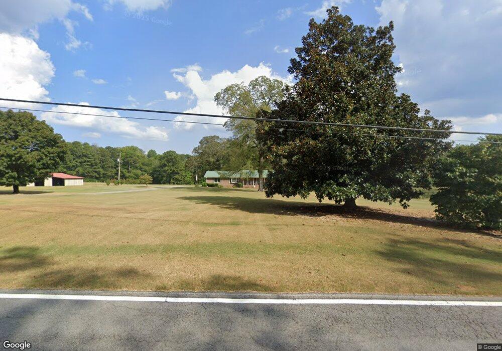
685 Thomas Wilson Rd Roopville, GA 30170
Estimated Value: $594,000 - $712,426
3
Beds
2
Baths
1,710
Sq Ft
$382/Sq Ft
Est. Value
About This Home
This home is located at 685 Thomas Wilson Rd, Roopville, GA 30170 and is currently estimated at $653,213, approximately $381 per square foot. 685 Thomas Wilson Rd is a home located in Carroll County with nearby schools including Roopville Elementary School, Central Middle School, and Central High School.
Ownership History
Date
Name
Owned For
Owner Type
Purchase Details
Closed on
Dec 13, 2006
Sold by
Reeves Jimmy H
Bought by
Reeves Evelyn C
Current Estimated Value
Purchase Details
Closed on
Jan 1, 1999
Sold by
Reeves Jimmy H and Reeves Eve
Bought by
Reeves Jimmy H and Reeves Eve
Purchase Details
Closed on
Jan 27, 1994
Sold by
Reeves Jimmy H
Bought by
Reeves Jimmy H and Reeves Eve
Purchase Details
Closed on
Mar 10, 1979
Bought by
Reeves Jimmy H
Create a Home Valuation Report for This Property
The Home Valuation Report is an in-depth analysis detailing your home's value as well as a comparison with similar homes in the area
Home Values in the Area
Average Home Value in this Area
Purchase History
| Date | Buyer | Sale Price | Title Company |
|---|---|---|---|
| Reeves Evelyn C | -- | -- | |
| Reeves Jimmy H | -- | -- | |
| Reeves Jimmy H | -- | -- | |
| Reeves Jimmy H | -- | -- |
Source: Public Records
Tax History Compared to Growth
Tax History
| Year | Tax Paid | Tax Assessment Tax Assessment Total Assessment is a certain percentage of the fair market value that is determined by local assessors to be the total taxable value of land and additions on the property. | Land | Improvement |
|---|---|---|---|---|
| 2024 | -- | $249,516 | $154,634 | $94,882 |
| 2023 | $0 | $210,099 | $123,709 | $86,390 |
| 2022 | $3,579 | $142,707 | $82,471 | $60,236 |
| 2021 | $3,020 | $117,782 | $65,978 | $51,804 |
| 2020 | $2,820 | $106,317 | $59,978 | $46,339 |
| 2019 | $2,734 | $103,056 | $59,978 | $43,078 |
| 2018 | $0 | $98,813 | $59,978 | $38,835 |
| 2017 | $0 | $98,813 | $59,978 | $38,835 |
| 2016 | $2,604 | $98,813 | $59,978 | $38,835 |
| 2015 | $250 | $46,869 | $20,573 | $26,296 |
| 2014 | $249 | $46,869 | $20,573 | $26,296 |
Source: Public Records
Map
Nearby Homes
- 191 Tumlin Creek Rd
- 1575 Bethesda Church Rd
- 1593 Bethesda Church Rd
- 1611 Bethesda Church Rd
- 1629 Bethesda Church Rd
- 195 Gold Dust Trail
- 0 W Highway 5 Unit 10519663
- 305 West Dr
- 0 Needmore Rd Unit (345 37 Acres)
- 450 Baxter Rd
- 301 E Highway 5
- 0 Bonner Goldmine Rd Unit 145631
- 0 Bonner Goldmine Rd Unit 10433818
- 1949 Roopville Veal Rd
- 1949 Roopville Veal Rd Unit 11
- 0 Louise Ln Unit 10563364
- 0 Roopville Veal Rd Unit 10610800
- 0 Roopville Veal Rd Unit 120 148246
- 0 Needmore Road- (345 37 Acres)
- 1358 W 5 Hwy
- 808 Tumlin Creek Rd
- 784 Thomas Wilson Rd
- 0 Thomas Wilson Rd Unit 7451548
- 0 Thomas Wilson Rd Unit 3031452
- 0 Thomas Wilson Rd Unit 9033312
- 117 Walker Rd
- 200 Walker Rd
- 435 Thomas Wilson Rd
- 888 Thomas Wilson Rd
- 203 Walker Rd
- 210 Walker Rd
- 181 Jackson Rd
- 230 Walker Rd
- 836 Thomas Wilson Rd
- 421 Walker Rd
- 224 Jackson Rd
- 320 Thomas Wilson Rd
- 324 Walker Rd
- 301 Thomas Wilson Rd
- 1250 Bonner Goldmine Rd