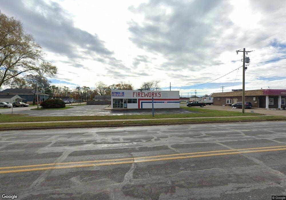
685 W Summit Ave Muskegon, MI 49441
Estimated Value: $363,075
--
Bed
--
Bath
5,064
Sq Ft
$72/Sq Ft
Est. Value
About This Home
This home is located at 685 W Summit Ave, Muskegon, MI 49441 and is currently estimated at $363,075, approximately $71 per square foot. 685 W Summit Ave is a home located in Muskegon County with nearby schools including Mona Shores High School, Edgewood Elementary Academy, and Dr. Martin Luther King Academy.
Ownership History
Date
Name
Owned For
Owner Type
Purchase Details
Closed on
Nov 20, 2020
Sold by
S & B Property Holdings Llc
Bought by
Arc Property Group
Current Estimated Value
Purchase Details
Closed on
Mar 29, 2019
Sold by
National Retail Properties Lp
Bought by
S & B Property Holdings Llc
Purchase Details
Closed on
Mar 27, 2019
Sold by
National Retail Properties Lp
Bought by
S & B Property Holdings Llc
Purchase Details
Closed on
Jul 20, 2005
Sold by
Michigan Real Estate Lp
Bought by
2005 Ii Llc
Home Financials for this Owner
Home Financials are based on the most recent Mortgage that was taken out on this home.
Original Mortgage
$41,253,976
Interest Rate
5.82%
Mortgage Type
Commercial
Create a Home Valuation Report for This Property
The Home Valuation Report is an in-depth analysis detailing your home's value as well as a comparison with similar homes in the area
Home Values in the Area
Average Home Value in this Area
Purchase History
| Date | Buyer | Sale Price | Title Company |
|---|---|---|---|
| Arc Property Group | $230,000 | Star Title Agency Llc | |
| S & B Property Holdings Llc | -- | None Available | |
| S & B Property Holdings Llc | -- | None Available | |
| 2005 Ii Llc | -- | -- |
Source: Public Records
Mortgage History
| Date | Status | Borrower | Loan Amount |
|---|---|---|---|
| Previous Owner | 2005 Ii Llc | $41,253,976 |
Source: Public Records
Tax History Compared to Growth
Tax History
| Year | Tax Paid | Tax Assessment Tax Assessment Total Assessment is a certain percentage of the fair market value that is determined by local assessors to be the total taxable value of land and additions on the property. | Land | Improvement |
|---|---|---|---|---|
| 2025 | $8,302 | $151,300 | $0 | $0 |
| 2024 | $5,770 | $145,900 | $0 | $0 |
| 2023 | $5,507 | $136,300 | $0 | $0 |
| 2022 | $7,709 | $153,800 | $0 | $0 |
| 2021 | $7,301 | $125,000 | $0 | $0 |
| 2020 | $8,929 | $152,600 | $0 | $0 |
| 2019 | $9,089 | $155,300 | $0 | $0 |
| 2018 | $8,954 | $153,000 | $0 | $0 |
| 2017 | $8,931 | $152,900 | $0 | $0 |
| 2016 | $6,178 | $151,100 | $0 | $0 |
| 2015 | -- | $154,500 | $0 | $0 |
| 2014 | $8,470 | $149,900 | $0 | $0 |
| 2013 | -- | $154,700 | $0 | $0 |
Source: Public Records
Map
Nearby Homes
- 3021 Fairfield St
- 3025 Fairfield St
- 3036 Sheffield St Unit 3036C
- 3036 Sheffield St Unit 3088B
- 3036 Sheffield St Unit C
- 3008 Fairfield St
- 2947 Fairfield St
- 3016 Fairfield St
- 635 W Summit Ave Unit BBB
- 2939 Fairfield St
- 3088 Sheffield St
- 3028 Fairfield St
- 3041 Fairfield St
- 2932 Fairfield St
- 3040 Fairfield St
- 3078 Sheffield St
- 770 W Summit Ave
- 2928 Fairfield St
- 3057 Fairfield St
- 2920 Fairfield St