685 Wildwood Trail Weatherford, TX 76085
Estimated Value: $468,000 - $500,000
3
Beds
2
Baths
1,950
Sq Ft
$249/Sq Ft
Est. Value
About This Home
This home is located at 685 Wildwood Trail, Weatherford, TX 76085 and is currently estimated at $484,735, approximately $248 per square foot. 685 Wildwood Trail is a home located in Parker County with nearby schools including Crockett Elementary School, Tison Middle School, and Weatherford High School.
Ownership History
Date
Name
Owned For
Owner Type
Purchase Details
Closed on
May 31, 2017
Sold by
Vicknair John M
Bought by
Caywood Christopher
Current Estimated Value
Home Financials for this Owner
Home Financials are based on the most recent Mortgage that was taken out on this home.
Original Mortgage
$254,308
Outstanding Balance
$213,695
Interest Rate
4.4%
Mortgage Type
FHA
Estimated Equity
$271,040
Purchase Details
Closed on
Jan 1, 1901
Bought by
Caywood Christopher
Create a Home Valuation Report for This Property
The Home Valuation Report is an in-depth analysis detailing your home's value as well as a comparison with similar homes in the area
Home Values in the Area
Average Home Value in this Area
Purchase History
| Date | Buyer | Sale Price | Title Company |
|---|---|---|---|
| Caywood Christopher | -- | None Available | |
| Caywood Christopher | -- | -- |
Source: Public Records
Mortgage History
| Date | Status | Borrower | Loan Amount |
|---|---|---|---|
| Open | Caywood Christopher | $254,308 |
Source: Public Records
Tax History Compared to Growth
Tax History
| Year | Tax Paid | Tax Assessment Tax Assessment Total Assessment is a certain percentage of the fair market value that is determined by local assessors to be the total taxable value of land and additions on the property. | Land | Improvement |
|---|---|---|---|---|
| 2025 | $5,412 | $410,255 | $178,880 | $231,375 |
| 2024 | $5,412 | $395,813 | -- | -- |
| 2023 | $5,412 | $359,830 | $0 | $0 |
| 2022 | $6,090 | $336,000 | $112,590 | $223,410 |
| 2021 | $6,003 | $336,000 | $112,590 | $223,410 |
| 2020 | $5,484 | $296,290 | $96,800 | $199,490 |
| 2019 | $5,318 | $296,290 | $96,800 | $199,490 |
| 2018 | $4,860 | $223,430 | $61,160 | $162,270 |
| 2017 | $4,204 | $195,620 | $61,160 | $134,460 |
| 2016 | $3,821 | $172,160 | $61,160 | $111,000 |
| 2015 | $3,401 | $172,160 | $61,160 | $111,000 |
| 2014 | $3,116 | $164,230 | $61,160 | $103,070 |
Source: Public Records
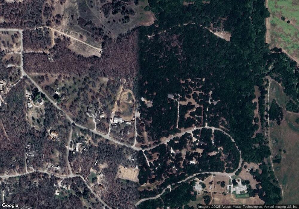
Map
Nearby Homes
- 470 Wildwood Trail
- 1357 Friendship Rd
- 505 Aermotor Loop
- 181 Fan Mill Trail
- 197 Fan Mill Trail
- 513 Lantana Dr
- 707 Wells Ln
- 4133 Old Springtown Rd
- 152 Katy Ranch Dr
- 106 Hedges Cir
- 109 Perdue Ln
- 4005 Farm To Market 51
- 4105 Old Springtown Rd
- 5885-F Upper Denton Rd
- 5885-H Upper Denton Rd
- E 67 Acres TBD Upper Denton Rd
- 5885-G Upper Denton Rd
- 1000 Rays Way
- 3930 Old Springtown Rd
- 4005 N Fm 51
- 777 Wildwood Trail
- 653 Wildwood Trail
- 825 Wildwood Trail
- 696 Wildwood Trail
- 764 Wildwood Trail
- 595 Wildwood Trail
- 818 Wildwood Trail
- 847 Wildwood Trail
- 847 Wildwood Trail
- 708 Wildwood Trail
- 141 Possum Pass
- 499 Wildwood Trail
- 862 Wildwood Trail
- 1336 Wildwood Trail
- 1037 Wildwood Trail
- 498 Wildwood Trail
- 1444 Wildwood Trail
- 1045 Wildwood Trail
- 1480 Wildwood Trail
- 1261 Wildwood Trail