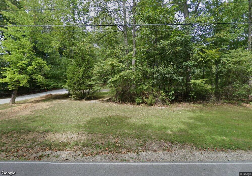
6850 Becks Grove Rd Freetown, IN 47235
Estimated Value: $381,000 - $439,000
2
Beds
2
Baths
1,000
Sq Ft
$404/Sq Ft
Est. Value
About This Home
This home is located at 6850 Becks Grove Rd, Freetown, IN 47235 and is currently estimated at $404,048, approximately $404 per square foot. 6850 Becks Grove Rd is a home located in Brown County with nearby schools including Brown County High School.
Ownership History
Date
Name
Owned For
Owner Type
Purchase Details
Closed on
Aug 20, 2024
Sold by
Stam Brian and Stam Brittany
Bought by
Bas1315 Revocable Trust
Current Estimated Value
Purchase Details
Closed on
Aug 15, 2024
Sold by
Nicholas Jerald Allen and Nicholas Kimberly Sue
Bought by
Stem Brian and Stam Brittany
Create a Home Valuation Report for This Property
The Home Valuation Report is an in-depth analysis detailing your home's value as well as a comparison with similar homes in the area
Home Values in the Area
Average Home Value in this Area
Purchase History
| Date | Buyer | Sale Price | Title Company |
|---|---|---|---|
| Bas1315 Revocable Trust | -- | None Listed On Document | |
| Stem Brian | -- | None Listed On Document |
Source: Public Records
Tax History Compared to Growth
Tax History
| Year | Tax Paid | Tax Assessment Tax Assessment Total Assessment is a certain percentage of the fair market value that is determined by local assessors to be the total taxable value of land and additions on the property. | Land | Improvement |
|---|---|---|---|---|
| 2024 | $1,184 | $289,100 | $104,400 | $184,700 |
| 2023 | $1,006 | $247,500 | $76,300 | $171,200 |
| 2022 | $1,111 | $248,500 | $71,300 | $177,200 |
| 2021 | $1,087 | $222,100 | $71,300 | $150,800 |
| 2020 | $976 | $204,800 | $63,800 | $141,000 |
| 2019 | $926 | $197,000 | $63,800 | $133,200 |
| 2018 | $1,107 | $195,700 | $63,800 | $131,900 |
| 2017 | $1,066 | $184,700 | $63,800 | $120,900 |
| 2016 | $983 | $179,900 | $63,800 | $116,100 |
| 2014 | $788 | $169,200 | $63,800 | $105,400 |
| 2013 | $788 | $166,900 | $63,800 | $103,100 |
Source: Public Records
Map
Nearby Homes
- 6947 Poplar Grove Rd
- 6873 Poplar Grove Rd
- 6913 Poplar Grove Rd
- 6985 Poplar Grove Rd
- 14000 W Mt Healthy Rd
- 14000 W Mount Healthy Rd
- XXXX Keith Donaldson Rd
- 00 Lutheran Lake Rd
- 14000 W Lake Rd
- 0 W Mt Healthy Rd Unit MBR21884970
- 8140 Grandview Rd
- 11875 W 700 S
- 13300 W 525 S
- 7275 Hamilton Creek Rd
- 7693 S Bob Allen Rd
- #2 Bellsville Pike
- 0 S Sprague Rd Unit MBR22071965
- 5217 Bellsville Pike
- 2000 Block W 1125 N
- 5181 S Poplar Dr
- 6844 Becks Grove Rd
- 6860 S Becks Grove Rd
- 6868 Becks Grove Rd
- 6868 S Becks Grove Rd
- 6830 S Becks Grove Rd
- 6830 Becks Grove Rd
- 6975 Becks Grove Rd
- 6802 Becks Grove Rd
- 6902 S Becks Grove Rd
- 6915 Becks Grove Rd
- 6774 S Becks Grove Rd
- 6774 S Becks Grove Rd
- 6774 Becks Grove Rd
- 6784 Becks Grove Rd
- 6951 Becks Grove Rd
- 6773 Becks Grove Rd
- 7005 Becks Grove Rd
- 6915 Becks Grove Rd
- 6805 Becks Grove Rd
- 6716 S Becks Grove Rd