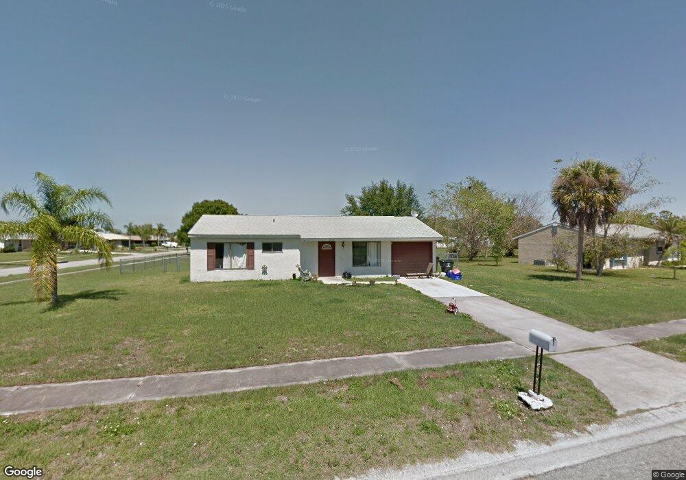
6850 Harmony Rd North Port, FL 34287
Estimated Value: $195,396 - $219,000
2
Beds
2
Baths
912
Sq Ft
$224/Sq Ft
Est. Value
About This Home
This home is located at 6850 Harmony Rd, North Port, FL 34287 and is currently estimated at $204,599, approximately $224 per square foot. 6850 Harmony Rd is a home located in Sarasota County with nearby schools including North Port High School, Lamarque Elementary School, and Heron Creek Middle School.
Ownership History
Date
Name
Owned For
Owner Type
Purchase Details
Closed on
Dec 8, 2021
Sold by
Landis Jerry and Landis Jerry D
Bought by
Jdl Property Group Llc
Current Estimated Value
Purchase Details
Closed on
Jul 22, 1999
Sold by
Veterans Affairs
Bought by
Landis Jerry D
Home Financials for this Owner
Home Financials are based on the most recent Mortgage that was taken out on this home.
Original Mortgage
$49,600
Interest Rate
7.51%
Mortgage Type
VA
Purchase Details
Closed on
Jul 29, 1998
Sold by
Johnson Bobby S and Johnson Paula J
Bought by
Secretary Of Veterans Affairs
Purchase Details
Closed on
Nov 30, 1993
Sold by
Aliwalas Julio L and Aliwalas Emma U
Bought by
Johnson Bobby S and Johnson Paula J
Home Financials for this Owner
Home Financials are based on the most recent Mortgage that was taken out on this home.
Original Mortgage
$50,745
Interest Rate
6.75%
Mortgage Type
VA
Create a Home Valuation Report for This Property
The Home Valuation Report is an in-depth analysis detailing your home's value as well as a comparison with similar homes in the area
Home Values in the Area
Average Home Value in this Area
Purchase History
| Date | Buyer | Sale Price | Title Company |
|---|---|---|---|
| Jdl Property Group Llc | -- | Accommodation | |
| Landis Jerry D | $50,800 | -- | |
| Secretary Of Veterans Affairs | -- | -- | |
| Johnson Bobby S | $49,800 | -- |
Source: Public Records
Mortgage History
| Date | Status | Borrower | Loan Amount |
|---|---|---|---|
| Previous Owner | Landis Jerry D | $49,600 | |
| Previous Owner | Johnson Bobby S | $50,745 |
Source: Public Records
Tax History Compared to Growth
Tax History
| Year | Tax Paid | Tax Assessment Tax Assessment Total Assessment is a certain percentage of the fair market value that is determined by local assessors to be the total taxable value of land and additions on the property. | Land | Improvement |
|---|---|---|---|---|
| 2024 | $2,844 | $150,300 | $55,700 | $94,600 |
| 2023 | $2,844 | $143,200 | $49,000 | $94,200 |
| 2022 | $2,578 | $130,800 | $37,600 | $93,200 |
| 2021 | $1,944 | $96,400 | $30,000 | $66,400 |
| 2020 | $1,828 | $88,100 | $30,000 | $58,100 |
| 2019 | $1,758 | $85,600 | $28,900 | $56,700 |
| 2018 | $1,618 | $86,300 | $21,400 | $64,900 |
| 2017 | $1,491 | $52,342 | $0 | $0 |
| 2016 | $1,383 | $61,500 | $8,000 | $53,500 |
| 2015 | $1,273 | $48,700 | $6,900 | $41,800 |
| 2014 | $1,170 | $35,750 | $0 | $0 |
Source: Public Records
Map
Nearby Homes
- 6912 Kenwood Dr
- 6698 Acmar Ct
- 35 Lino Rd
- 34 Lino Rd
- 33 Lino Rd
- 32 Lino Rd
- 6655 Pan American Blvd
- 6483 Fabian Rd
- 7518 Lyncrest St
- LOTS 12, 13 & 14 Lamar Ct
- 6424 Elmwood Rd
- 13179 Chancellor Blvd
- 7509 Mesa St
- 6383 S Biscayne Dr
- 6382 Talbot St
- 6355 Freemont St
- 7 Ramblewood St
- 6405 Myrtlewood Rd
- 72 Pompano St
- 8661 Quinn Ct