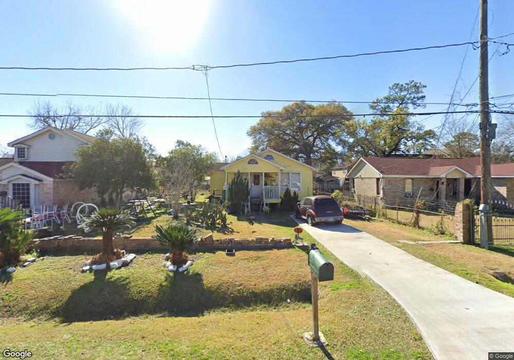
6850 Orville St Houston, TX 77028
Trinity-Houston Gardens NeighborhoodEstimated Value: $155,673 - $164,000
3
Beds
1
Bath
1,213
Sq Ft
$133/Sq Ft
Est. Value
About This Home
This home is located at 6850 Orville St, Houston, TX 77028 and is currently estimated at $161,168, approximately $132 per square foot. 6850 Orville St is a home located in Harris County with nearby schools including McGowen Elementary School, Key Middle, and Kashmere High School.
Ownership History
Date
Name
Owned For
Owner Type
Purchase Details
Closed on
Nov 30, 2021
Sold by
Moore John Henry and Estate Of Beverly Ann Moore
Bought by
Moore John Henry and Estate Of Beverly Ann Moore
Current Estimated Value
Purchase Details
Closed on
Jul 26, 2019
Sold by
Rose Mike L and Rose Kimberly J
Bought by
Torres Victor Manual and Torres Josephine Pena
Create a Home Valuation Report for This Property
The Home Valuation Report is an in-depth analysis detailing your home's value as well as a comparison with similar homes in the area
Home Values in the Area
Average Home Value in this Area
Purchase History
| Date | Buyer | Sale Price | Title Company |
|---|---|---|---|
| Moore John Henry | -- | None Available | |
| Torres Victor Manual | -- | Stewart Title Heights |
Source: Public Records
Tax History Compared to Growth
Tax History
| Year | Tax Paid | Tax Assessment Tax Assessment Total Assessment is a certain percentage of the fair market value that is determined by local assessors to be the total taxable value of land and additions on the property. | Land | Improvement |
|---|---|---|---|---|
| 2025 | $2,864 | $136,880 | $54,528 | $82,352 |
| 2024 | $2,864 | $136,880 | $54,528 | $82,352 |
| 2023 | $2,786 | $138,289 | $46,080 | $92,209 |
| 2022 | $2,481 | $112,689 | $30,720 | $81,969 |
| 2021 | $2,480 | $106,410 | $17,280 | $89,130 |
| 2020 | $2,299 | $94,921 | $17,280 | $77,641 |
| 2019 | $1,472 | $58,189 | $11,520 | $46,669 |
| 2018 | $1,472 | $58,189 | $11,520 | $46,669 |
| 2017 | $1,471 | $58,189 | $11,520 | $46,669 |
| 2016 | $1,471 | $58,189 | $11,520 | $46,669 |
| 2015 | $874 | $58,189 | $11,520 | $46,669 |
| 2014 | $874 | $34,000 | $11,520 | $22,480 |
Source: Public Records
Map
Nearby Homes
- 6842 Carothers St
- 6838 Carothers St
- 6908 Larkstone St
- 7010 S Hall St
- 7002 S Hall St
- 6908 S Hall St
- 7100 W Knoll St
- 8100 Homestead Rd
- 7140 Orville St
- 0 Landor
- 0 Shreveport Blvd
- 6719 Roanoke St
- 6606 Weaver Rd
- 6911 Finch St
- 6907 Finch St
- 6705 Roanoke St
- 7101 Weyburn St Unit C
- 7126 Bywood A and B St
- 7126 Bywood St
- 7214 Weyburn St
- 6854 Orville St
- 6846 Orville St
- 6902 Orville St
- 6903 Larkstone St
- 6842 Orville St
- 6907 Larkstone St
- 6839 Larkstone St
- 6911 Larkstone St
- 6911 Larkstone St
- 6849 Orville St
- 6843 Larkstone St
- 6843 Larkstone St Unit A
- 6843 Larkstone St Unit B
- 6845 Orville St
- 6838 Orville St
- 6841 Larkstone St
- 6841 Larkstone St Unit B
- 6841 Larkstone St Unit A
- 6841 Orville St
- 6901 Orville St