6850 Statum Rd Preston, MD 21655
Estimated Value: $320,000 - $381,000
Studio
2
Baths
1,568
Sq Ft
$223/Sq Ft
Est. Value
About This Home
This home is located at 6850 Statum Rd, Preston, MD 21655 and is currently estimated at $349,897, approximately $223 per square foot. 6850 Statum Rd is a home located in Caroline County with nearby schools including Preston Elementary School, Colonel Richardson Middle School, and Colonel Richardson High School.
Ownership History
Date
Name
Owned For
Owner Type
Purchase Details
Closed on
Nov 7, 2022
Sold by
Roe Dale Lee and Roe Margaret C
Bought by
Roe Dale L
Current Estimated Value
Purchase Details
Closed on
Jan 30, 1996
Sold by
Roe Dale E
Bought by
Roe Dale Lee and Roe T E Margaret C
Purchase Details
Closed on
Dec 4, 1995
Sold by
Crouse Phyllis M
Bought by
Roe Dale E and Roe T E Margaret C
Purchase Details
Closed on
Nov 7, 1995
Sold by
Crouse Richard G and Crouse Phyllis M
Bought by
Crouse Phyllis M and Roe T E Margaret C
Create a Home Valuation Report for This Property
The Home Valuation Report is an in-depth analysis detailing your home's value as well as a comparison with similar homes in the area
Home Values in the Area
Average Home Value in this Area
Purchase History
| Date | Buyer | Sale Price | Title Company |
|---|---|---|---|
| Roe Dale L | -- | -- | |
| Roe Dale Lee | -- | -- | |
| Roe Dale E | $32,500 | -- | |
| Crouse Phyllis M | -- | -- |
Source: Public Records
Tax History
| Year | Tax Paid | Tax Assessment Tax Assessment Total Assessment is a certain percentage of the fair market value that is determined by local assessors to be the total taxable value of land and additions on the property. | Land | Improvement |
|---|---|---|---|---|
| 2025 | $2,858 | $265,400 | $100,400 | $165,000 |
| 2024 | $2,736 | $254,167 | $0 | $0 |
| 2023 | $2,613 | $242,933 | $0 | $0 |
| 2022 | $2,490 | $231,700 | $100,400 | $131,300 |
| 2021 | $2,556 | $230,133 | $0 | $0 |
| 2020 | $2,556 | $228,567 | $0 | $0 |
| 2019 | $2,539 | $227,000 | $87,500 | $139,500 |
| 2018 | $2,526 | $225,800 | $0 | $0 |
| 2017 | $2,513 | $224,600 | $0 | $0 |
| 2016 | -- | $223,400 | $0 | $0 |
| 2015 | $2,347 | $223,400 | $0 | $0 |
| 2014 | $2,347 | $223,400 | $0 | $0 |
Source: Public Records
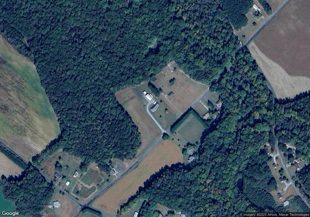
Map
Nearby Homes
- 6401 Laurel Grove Rd
- 24383 Robins Creek Rd
- 7904 Clark Rd
- 25699 Auction Rd
- 23116 Gilpin Point Rd
- 24749 Woods Dr
- 24800 Pealiquor Rd
- 0 Laurel Ln
- 23296 Wilder Way
- 0 Iron Gate Rd Unit MDCM2004762
- 24324 Asbury Dr
- 24276 Asbury Dr
- 8578 Tuckahoe Rd
- 33293 Matthewstown Rd
- 25749 Herring Ln
- LOT #6 High Banks Dr
- 0 High Banks Dr
- lot 6 Harmony Woods Dr
- 27329 Iron Gate Rd
- 5585 Harmony Woods Dr
- 6886 Statum Rd
- 0 Statum Rd
- 6906 Statum Rd
- 6906 Statum Rd
- 6895 Statum Rd
- 6914 Statum Rd
- 6897 Statum Rd
- 6830 Statum Rd
- 6850 Laurel Grove Rd
- 6871 Statum Rd
- 24748 Pinetown Rd
- 6920 Statum Rd
- 24640 Pinetown Rd
- 6840 Laurel Grove Rd
- 6840 Laurel Grove Rd
- 6976 Statum Rd
- 7034 Laurel Grove Rd
- 6778 Statum Rd
- 24782 Pinetown Rd
- 6837 Laurel Grove Rd
Your Personal Tour Guide
Ask me questions while you tour the home.