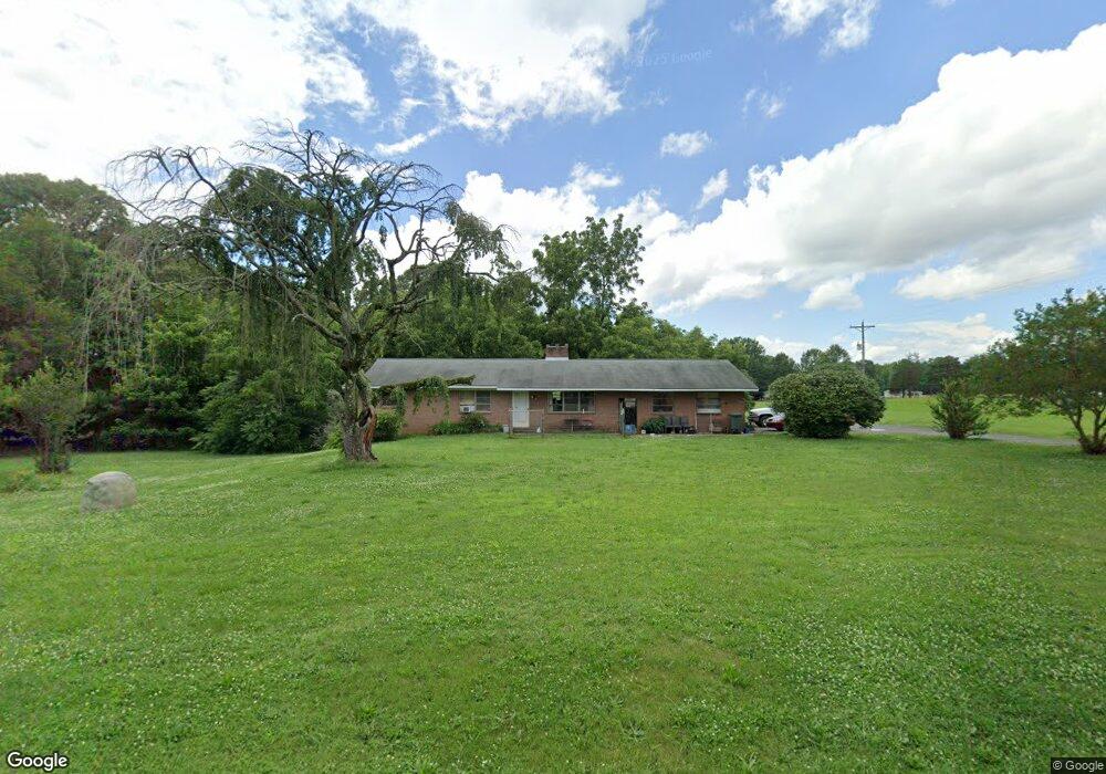
6851 Unity Church Rd Kannapolis, NC 28081
Estimated Value: $284,675 - $329,000
Studio
2
Baths
1,530
Sq Ft
$202/Sq Ft
Est. Value
About This Home
This home is located at 6851 Unity Church Rd, Kannapolis, NC 28081 and is currently estimated at $309,419, approximately $202 per square foot. 6851 Unity Church Rd is a home located in Rowan County with nearby schools including Millbridge Elementary School, Corriher Lipe Middle School, and South Rowan High School.
Ownership History
Date
Name
Owned For
Owner Type
Purchase Details
Closed on
Feb 7, 2024
Sold by
Rogers Kathy Lynn
Bought by
Rogers Kathy Lynn and Rogers Blake Allen
Current Estimated Value
Purchase Details
Closed on
Dec 20, 2020
Sold by
Rogers Phillip Samuel and Rogers Angela T
Bought by
Harrington Brandon E
Purchase Details
Closed on
Jun 10, 2008
Sold by
Rogers Hildred E
Bought by
Steele Donald Ray
Purchase Details
Closed on
Feb 28, 2008
Sold by
Rogers Hildred E
Bought by
Kearns Jerry B and Kearns Betty G
Create a Home Valuation Report for This Property
The Home Valuation Report is an in-depth analysis detailing your home's value as well as a comparison with similar homes in the area
Purchase History
| Date | Buyer | Sale Price | Title Company |
|---|---|---|---|
| Rogers Kathy Lynn | -- | None Listed On Document | |
| Rogers Kathy Lynn | -- | None Listed On Document | |
| Harrington Brandon E | $9,500 | None Available | |
| Steele Donald Ray | -- | None Available | |
| Kearns Jerry B | $3,500 | None Available |
Source: Public Records
Tax History
| Year | Tax Paid | Tax Assessment Tax Assessment Total Assessment is a certain percentage of the fair market value that is determined by local assessors to be the total taxable value of land and additions on the property. | Land | Improvement |
|---|---|---|---|---|
| 2025 | $1,617 | $238,708 | $51,984 | $186,724 |
| 2024 | $1,617 | $238,708 | $51,984 | $186,724 |
| 2023 | $1,617 | $238,708 | $51,984 | $186,724 |
| 2022 | $1,214 | $160,746 | $38,354 | $122,392 |
| 2021 | $1,280 | $174,214 | $51,822 | $122,392 |
| 2020 | $731 | $174,214 | $51,822 | $122,392 |
| 2019 | $731 | $174,214 | $51,822 | $122,392 |
| 2018 | $684 | $157,223 | $51,822 | $105,401 |
| 2017 | $684 | $157,223 | $51,822 | $105,401 |
| 2016 | $684 | $157,223 | $51,822 | $105,401 |
| 2015 | $694 | $157,223 | $51,822 | $105,401 |
| 2014 | $686 | $163,007 | $51,822 | $111,185 |
Source: Public Records
Map
Nearby Homes
- 160 Arrow Point Ln
- 1024 Rogue Ct
- 6722 Fox Ridge Cir Unit 56
- 8485 Dogwood Dr
- 8282 Park Edwards Rd
- 8815 Columbus St
- 860 Arrow Point Ln
- 7440 Tuckaseegee Rd
- 213 Rustic Rd
- 15.009 Acres Archer Rd
- 9730 Harvest Ln
- 9665 Autumn Cir
- 195 Cimmaron Cir
- 145 Nathaniel Ln
- 1132 Reba Ln
- 9870 Harvest Ln
- 634 Patterson Farm Rd
- 6872 Buttercup Ln
- 10372 Turnplow Dr
- 632 Patterson Farm Rd
- 6840 Unity Church Rd
- 6830 Unity Church Rd
- 6955 Unity Church Rd
- 8475 Sunset End Ln
- 6785 Unity Church Rd
- 1071 Pond Ct
- 6792 Unity Church Rd
- 7021 Unity Church Rd
- 278 Blake Rd
- 1049 Pond Ct
- 8480 Sunset End Ln
- 7088 Unity Church Rd
- 00 Unity Church Rd
- 1027 Pond Ct
- 8525 Sunset End Ln
- 8520 Archer Rd
- 275 Blake Rd
- 280 Blake Rd
- 8530 Archer Rd
- 8540 Archer Rd
Your Personal Tour Guide
Ask me questions while you tour the home.