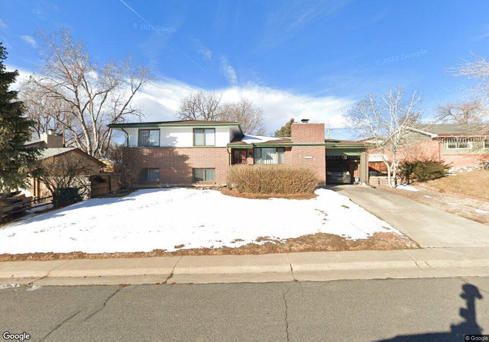
6853 Balsam St Arvada, CO 80004
Scenic Heights NeighborhoodEstimated Value: $618,861 - $635,000
4
Beds
3
Baths
2,068
Sq Ft
$305/Sq Ft
Est. Value
About This Home
This home is located at 6853 Balsam St, Arvada, CO 80004 and is currently estimated at $630,465, approximately $304 per square foot. 6853 Balsam St is a home located in Jefferson County with nearby schools including Secrest Elementary School, Peck Elementary School, and Arvada K-8.
Ownership History
Date
Name
Owned For
Owner Type
Purchase Details
Closed on
Aug 8, 2019
Sold by
Dougherty Virginia F
Bought by
Wyly David and Wyly Joan
Current Estimated Value
Home Financials for this Owner
Home Financials are based on the most recent Mortgage that was taken out on this home.
Original Mortgage
$383,150
Outstanding Balance
$335,775
Interest Rate
3.73%
Mortgage Type
New Conventional
Estimated Equity
$294,690
Create a Home Valuation Report for This Property
The Home Valuation Report is an in-depth analysis detailing your home's value as well as a comparison with similar homes in the area
Home Values in the Area
Average Home Value in this Area
Purchase History
| Date | Buyer | Sale Price | Title Company |
|---|---|---|---|
| Wyly David | $395,000 | First American Title |
Source: Public Records
Mortgage History
| Date | Status | Borrower | Loan Amount |
|---|---|---|---|
| Open | Wyly David | $383,150 |
Source: Public Records
Tax History Compared to Growth
Tax History
| Year | Tax Paid | Tax Assessment Tax Assessment Total Assessment is a certain percentage of the fair market value that is determined by local assessors to be the total taxable value of land and additions on the property. | Land | Improvement |
|---|---|---|---|---|
| 2024 | $3,466 | $35,738 | $17,557 | $18,181 |
| 2023 | $3,466 | $35,738 | $17,557 | $18,181 |
| 2022 | $2,872 | $29,327 | $13,736 | $15,591 |
| 2021 | $2,920 | $30,171 | $14,131 | $16,040 |
| 2020 | $2,353 | $24,380 | $10,396 | $13,984 |
| 2019 | $1,640 | $24,380 | $10,396 | $13,984 |
| 2018 | $1,712 | $24,686 | $8,699 | $15,987 |
| 2017 | $1,567 | $24,686 | $8,699 | $15,987 |
| 2016 | $1,167 | $20,221 | $6,092 | $14,129 |
| 2015 | $939 | $20,221 | $6,092 | $14,129 |
| 2014 | $939 | $17,233 | $5,158 | $12,075 |
Source: Public Records
Map
Nearby Homes
- 6902 Ammons St
- 8090 W 68th Ave
- 6780 Allison St
- 6958 Brentwood Ct
- 6801 Carr St
- 8300 W 67th Ave
- 8612 W 69th Place
- 7769 W 70th Dr
- 8306 W 71st Place
- 7555 W 69th Place
- 7126 Dudley Dr
- 6463 Brentwood St
- 8571 W 71st Cir
- 6685 Upham St
- 6409 Brentwood St
- 6438 Yarrow St
- 6913 Teller Ct
- 6355 Carr St
- 7330 Dover St
- 9173 W 66th Place
- 6843 Balsam St
- 6863 Balsam St
- 6856 Brentwood St
- 6846 Brentwood St
- 6866 Brentwood St
- 6833 Balsam St
- 6873 Balsam St
- 6874 Balsam St
- 6854 Balsam St
- 6836 Brentwood St
- 6876 Brentwood St
- 6844 Balsam St
- 6884 Balsam St
- 6823 Balsam St
- 6826 Brentwood St
- 6851 Ammons St
- 6834 Balsam St
- 6841 Ammons St
- 6861 Ammons St
- 8215 W 69th Ave