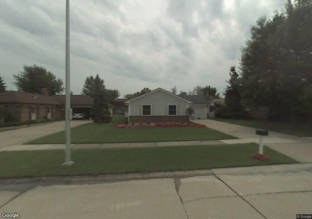
6853 Devonshire Dr Canton, MI 48187
Estimated Value: $344,000 - $406,000
Studio
2
Baths
1,578
Sq Ft
$234/Sq Ft
Est. Value
About This Home
This home is located at 6853 Devonshire Dr, Canton, MI 48187 and is currently estimated at $369,851, approximately $234 per square foot. 6853 Devonshire Dr is a home located in Wayne County with nearby schools including Canton High School, Discovery Middle School, and Salem High School.
Ownership History
Date
Name
Owned For
Owner Type
Purchase Details
Closed on
Aug 17, 2006
Sold by
Mccormack Paul J and Mccormack Doris
Bought by
Wilson Jason P
Current Estimated Value
Home Financials for this Owner
Home Financials are based on the most recent Mortgage that was taken out on this home.
Original Mortgage
$160,973
Interest Rate
6.16%
Mortgage Type
FHA
Create a Home Valuation Report for This Property
The Home Valuation Report is an in-depth analysis detailing your home's value as well as a comparison with similar homes in the area
Home Values in the Area
Average Home Value in this Area
Purchase History
| Date | Buyer | Sale Price | Title Company |
|---|---|---|---|
| Wilson Jason P | $163,500 | None Available |
Source: Public Records
Mortgage History
| Date | Status | Borrower | Loan Amount |
|---|---|---|---|
| Previous Owner | Wilson Jason P | $160,973 |
Source: Public Records
Tax History
| Year | Tax Paid | Tax Assessment Tax Assessment Total Assessment is a certain percentage of the fair market value that is determined by local assessors to be the total taxable value of land and additions on the property. | Land | Improvement |
|---|---|---|---|---|
| 2025 | $1,578 | $153,700 | $0 | $0 |
| 2024 | $1,533 | $145,900 | $0 | $0 |
| 2023 | $1,462 | $127,400 | $0 | $0 |
| 2022 | $3,333 | $118,000 | $0 | $0 |
| 2021 | $3,229 | $114,800 | $0 | $0 |
| 2020 | $3,177 | $108,200 | $0 | $0 |
| 2019 | $3,122 | $103,810 | $0 | $0 |
| 2018 | $1,242 | $92,310 | $0 | $0 |
| 2017 | $3,331 | $91,400 | $0 | $0 |
| 2016 | $2,870 | $88,100 | $0 | $0 |
| 2015 | $6,822 | $79,960 | $0 | $0 |
| 2013 | $6,609 | $70,430 | $0 | $0 |
| 2010 | -- | $67,910 | $35,455 | $32,455 |
Source: Public Records
Map
Nearby Homes
- 6852 New Providence Way Unit 104
- 45261 Patrick Dr
- 44432 Newburyport Dr
- 49772 Shoreline Dr
- 48590 Ford Rd
- 6857 Bridgemont Dr
- 835 Coldrose Way
- 7065 Epping Dr
- 6622 Carriage Hills Dr
- 1995 Peerce Ct Unit 2
- 7459 Admiralty Dr
- 45900 Gainsborough Dr
- 43607 Ryegate St
- 45677 Radnor Rd
- 0000 Ford
- 44447 Savery Dr Unit 126
- 44570 Tillotson Dr
- 44089 Candlewood Dr
- 43051 Fernwood St
- 58560 Stuart Dr
- 6839 Devonshire Dr
- 6871 Devonshire Dr
- 6712 Sturbridge Ln
- 6821 Devonshire Dr
- 6700 Sturbridge Ln
- 6820 Bostonhill Ln
- 6686 Sturbridge Ln
- 6801 Devonshire Dr
- 6856 Devonshire Dr
- 6868 Devonshire Dr
- 6842 Devonshire Dr
- 6882 Devonshire Dr
- 6828 Devonshire Dr
- 6781 Devonshire Dr
- 6674 Sturbridge Ln
- 6835 Bostonhill Ln
- 6816 Devonshire Dr
- 6849 Bostonhill Ln
- 6744 Bostonhill Ln
- 6863 Bostonhill Ln
Your Personal Tour Guide
Ask me questions while you tour the home.