6856 Fargo Rd Croswell, MI 48422
Estimated Value: $205,944 - $258,000
3
Beds
2
Baths
2,000
Sq Ft
$114/Sq Ft
Est. Value
About This Home
This home is located at 6856 Fargo Rd, Croswell, MI 48422 and is currently estimated at $228,736, approximately $114 per square foot. 6856 Fargo Rd is a home located in Sanilac County.
Ownership History
Date
Name
Owned For
Owner Type
Purchase Details
Closed on
Jul 27, 2000
Sold by
Schmidt Peter
Bought by
Dahl Jeffrey and Dahl Heather
Current Estimated Value
Purchase Details
Closed on
Mar 31, 1999
Sold by
Schmidt Peter
Bought by
Schmidt Peter
Create a Home Valuation Report for This Property
The Home Valuation Report is an in-depth analysis detailing your home's value as well as a comparison with similar homes in the area
Home Values in the Area
Average Home Value in this Area
Purchase History
| Date | Buyer | Sale Price | Title Company |
|---|---|---|---|
| Dahl Jeffrey | $97,000 | -- | |
| Schmidt Peter | -- | -- |
Source: Public Records
Tax History Compared to Growth
Tax History
| Year | Tax Paid | Tax Assessment Tax Assessment Total Assessment is a certain percentage of the fair market value that is determined by local assessors to be the total taxable value of land and additions on the property. | Land | Improvement |
|---|---|---|---|---|
| 2025 | $1,154 | $78,500 | $0 | $0 |
| 2024 | $481 | $72,500 | $0 | $0 |
| 2023 | $458 | $61,300 | $0 | $0 |
| 2022 | $1,045 | $49,200 | $0 | $0 |
| 2021 | $1,013 | $43,000 | $0 | $0 |
| 2020 | $996 | $45,400 | $0 | $0 |
| 2019 | $409 | $42,400 | $0 | $0 |
| 2018 | $946 | $47,100 | $0 | $0 |
| 2017 | $391 | $43,500 | $0 | $0 |
| 2016 | $388 | $42,400 | $0 | $0 |
| 2015 | -- | $40,000 | $0 | $0 |
| 2014 | -- | $37,500 | $0 | $0 |
Source: Public Records
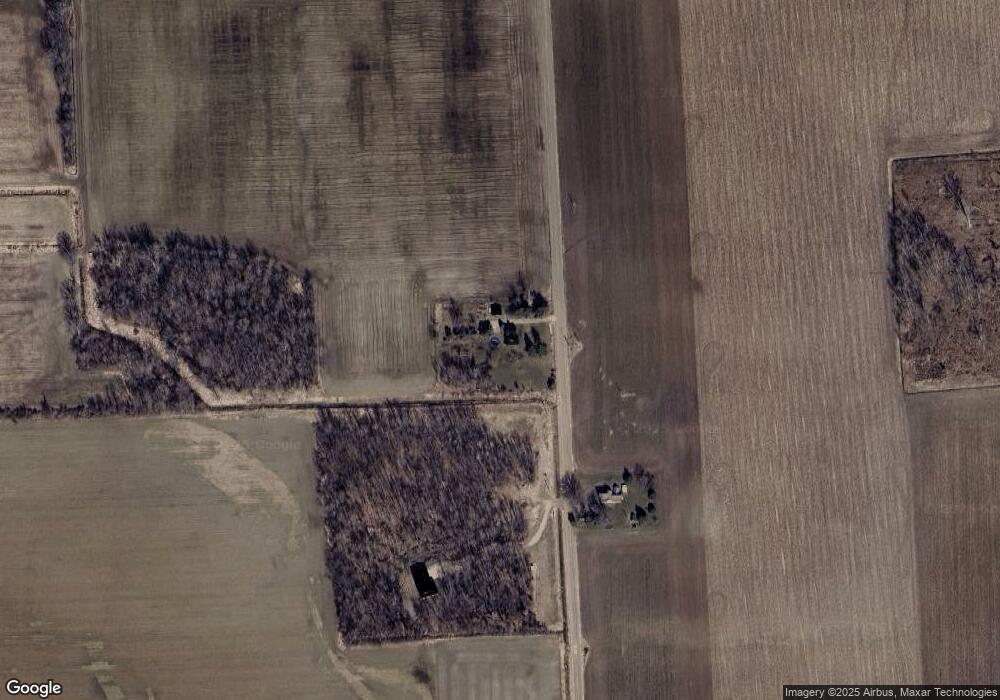
Map
Nearby Homes
- 0 Mortimer Line Unit 25023305
- 6096 Cribbins Rd
- 5447 Willow Dr
- 5401 Pine St
- 0000 Galbraith Line Rd
- 4204 Peck Rd
- 5445 Todd Rd
- 5393 Cedar St
- 4630 Galbraith Line Rd
- 2343 Tia St
- 42 S Flower St
- Lot 18 White Pine Ln
- Lot 16 White Pine Ln
- 2240 Mark St
- 2266 Bart St
- Lot 4 Red Pine Ln
- 2259 Bart St
- 5375 Shawn St
- 5388 Shawn St
- 2237 Ranae St
- 6911 Fargo Rd
- 3636 Burns Line Rd
- 3668 Burns Line Rd
- 3720 Burns Line Rd
- 3735 Burns Line Rd
- 3728 Burns Line Rd
- 6565 Fargo Rd
- 3155 Burns Line Rd
- 3450 Mortimer Line Rd
- 3137 Burns Line Rd
- 0 Mortimer Line Unit 5630850
- 0 Mortimer Ln Unit 868442
- 0 Mortimer Ln Unit 4639823
- 0 Mortimer Line Unit G31193663
- 0 Mortimer Ln Unit G31193664
- 0 Mortimer Line Unit G31207061
- 0 Mortimer Line Unit G31257143
- 0 Mortimer Line Unit G31281730
- 0 Mortimer Line Unit G31303123
- 0 Mortimer Line Unit G31316504