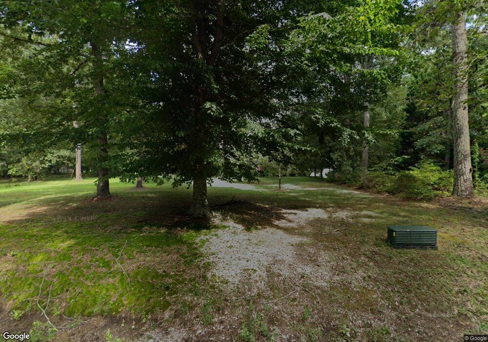
6857 Fox Mill Ct Gloucester, VA 23061
Gloucester South NeighborhoodEstimated Value: $285,000 - $621,350
3
Beds
3
Baths
3,312
Sq Ft
$137/Sq Ft
Est. Value
About This Home
This home is located at 6857 Fox Mill Ct, Gloucester, VA 23061 and is currently estimated at $453,175, approximately $136 per square foot. 6857 Fox Mill Ct is a home located in Gloucester County with nearby schools including Bethel Elementary School, Peasley Middle School, and Gloucester High School.
Ownership History
Date
Name
Owned For
Owner Type
Purchase Details
Closed on
Nov 1, 2024
Sold by
Healy Peter M
Bought by
Healy Peter M
Current Estimated Value
Home Financials for this Owner
Home Financials are based on the most recent Mortgage that was taken out on this home.
Original Mortgage
$892,500
Outstanding Balance
$768,089
Interest Rate
6.08%
Mortgage Type
FHA
Estimated Equity
-$314,914
Create a Home Valuation Report for This Property
The Home Valuation Report is an in-depth analysis detailing your home's value as well as a comparison with similar homes in the area
Home Values in the Area
Average Home Value in this Area
Purchase History
| Date | Buyer | Sale Price | Title Company |
|---|---|---|---|
| Healy Peter M | -- | Westcor Land Title | |
| Healy Peter M | -- | Westcor Land Title |
Source: Public Records
Mortgage History
| Date | Status | Borrower | Loan Amount |
|---|---|---|---|
| Open | Healy Peter M | $892,500 | |
| Closed | Healy Peter M | $892,500 | |
| Closed | Healy Peter M | $892,500 |
Source: Public Records
Tax History Compared to Growth
Tax History
| Year | Tax Paid | Tax Assessment Tax Assessment Total Assessment is a certain percentage of the fair market value that is determined by local assessors to be the total taxable value of land and additions on the property. | Land | Improvement |
|---|---|---|---|---|
| 2025 | $3,610 | $587,910 | $81,820 | $506,090 |
| 2024 | $3,610 | $587,910 | $81,820 | $506,090 |
| 2023 | $3,428 | $587,910 | $81,820 | $506,090 |
| 2022 | $3,157 | $435,450 | $65,390 | $370,060 |
| 2021 | $3,026 | $435,450 | $65,390 | $370,060 |
| 2020 | $3,026 | $435,450 | $65,390 | $370,060 |
| 2019 | $3,079 | $443,030 | $65,390 | $377,640 |
| 2017 | $3,079 | $443,030 | $65,390 | $377,640 |
| 2016 | $3,047 | $438,380 | $65,390 | $372,990 |
| 2015 | $2,981 | $460,500 | $53,000 | $407,500 |
| 2014 | $2,993 | $460,500 | $53,000 | $407,500 |
Source: Public Records
Map
Nearby Homes
- 5.1+AC Fox Mill Ct
- 6926 Deerfield Ln
- 6717 Greenfield Ln
- 6630 Valley Dr
- 4952 Chestnut Fork Rd
- 5731 Kings Ridge Rd
- 00 Chestnut Fork Rd
- 5403 Jonquil Ln
- 4783 Stephens Way
- 4905 Stephens Way
- 4904 Stephens Way
- 4805 Stephens Way
- Lot 8 Stephens Way
- Lot 4 Stephens Way
- Lot 2 Stephens Way
- Lot 3 Stephens Way
- 4836 Stephens Way
- 4871 Stephens Way
- 6663 Hickory Fork Rd
- 7397 Sinclair Way Unit 4-A-1
- 6810 Oscar Rd
- 6901 Fox Mill Ct
- 0 Fox Mill Ct
- 6850 Fox Mill Ct
- 6862 Fox Mill Ct
- 6790 Oscar Rd
- 6840 Oscar Rd
- 6778 Belroi Rd
- 6919 Oscar Rd
- 6822 Oscar Rd
- 6941 Fox Mill Ct
- 6810 Belroi Rd
- 6922 Deerfield Ln
- 5303 Chestnut Fork Rd
- 5329 Chestnut Fork Rd
- 6964 Fox Mill Ct
- 6916 Deerfield Ln
- 5315 Chestnut Fork Rd
- 5315 Chestnut Fork Rd
- 6838 Belroi Rd
