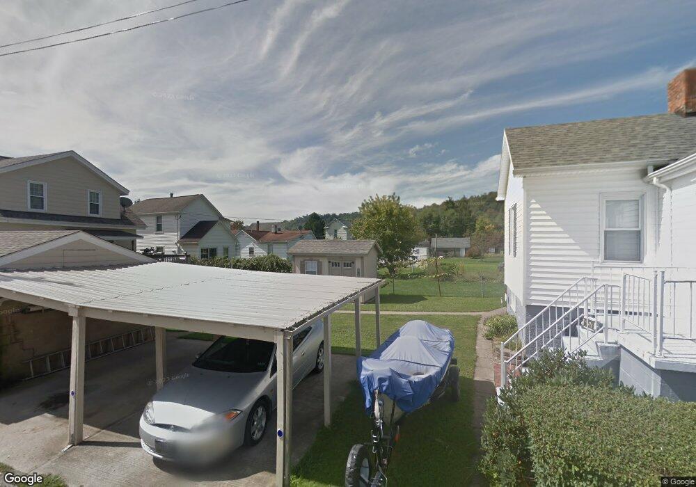
68578 R Maple St Bridgeport, OH 43912
Lansing NeighborhoodEstimated Value: $83,000 - $106,000
2
Beds
1
Bath
959
Sq Ft
$99/Sq Ft
Est. Value
About This Home
This home is located at 68578 R Maple St, Bridgeport, OH 43912 and is currently estimated at $94,500, approximately $98 per square foot. 68578 R Maple St is a home with nearby schools including Bridgeport Elementary School, Bridgeport Middle School, and Bridgeport High School.
Ownership History
Date
Name
Owned For
Owner Type
Purchase Details
Closed on
May 26, 1994
Sold by
Strauss Joseph A and Strauss Ja
Bought by
Strauss Joseph A and Strauss Ja
Current Estimated Value
Purchase Details
Closed on
Jan 1, 1986
Sold by
Timko Florene V
Bought by
Timko Florene
Create a Home Valuation Report for This Property
The Home Valuation Report is an in-depth analysis detailing your home's value as well as a comparison with similar homes in the area
Home Values in the Area
Average Home Value in this Area
Purchase History
| Date | Buyer | Sale Price | Title Company |
|---|---|---|---|
| Strauss Joseph A | $67,000 | -- | |
| Timko Florene | -- | -- |
Source: Public Records
Tax History Compared to Growth
Tax History
| Year | Tax Paid | Tax Assessment Tax Assessment Total Assessment is a certain percentage of the fair market value that is determined by local assessors to be the total taxable value of land and additions on the property. | Land | Improvement |
|---|---|---|---|---|
| 2024 | $924 | $22,580 | $2,470 | $20,110 |
| 2023 | $525 | $13,250 | $2,020 | $11,230 |
| 2022 | $524 | $13,244 | $2,016 | $11,228 |
| 2021 | $522 | $13,240 | $2,012 | $11,228 |
| 2020 | $462 | $10,960 | $1,680 | $9,280 |
| 2019 | $464 | $10,960 | $1,680 | $9,280 |
| 2018 | $475 | $10,960 | $1,680 | $9,280 |
| 2017 | $407 | $8,690 | $2,020 | $6,670 |
| 2016 | $412 | $8,690 | $2,020 | $6,670 |
| 2015 | $410 | $8,690 | $2,020 | $6,670 |
| 2014 | $448 | $9,600 | $1,840 | $7,760 |
| 2013 | $420 | $9,600 | $1,840 | $7,760 |
Source: Public Records
Map
Nearby Homes
- 55273 Poplar Ave
- 55490 National Rd
- 55480 National Rd
- 55500 National Rd
- 68000 Walnut St
- 55560 Poplar Ave
- 68960 Pine Terrace Rd
- 67867 Crosley Rd
- 56316 National Rd
- 69895 Woods Rd
- 56559 Boyd Ave
- 69657 Chermont Rd
- 902 National Rd
- 56624 Boyd Ave
- 16 Patterson Rd
- 20 Locust Ave
- 53679 Quimby Ave
- 866 Main St
- 70540 Colerain Rd
- 69341 Old Cadiz Rd
- 68590 Lansing Ln
- 55205 Maple Ave
- 55211 Maple Ave
- 55260 Poplar St
- 55250 Poplar Ave
- 55189 Maple Ave
- 55223 Maple Ave
- 55288 Poplar Ave
- 55238 Poplar Ave
- 55233 Maple Ave
- 55167 Maple Ave
- 55212 Maple Ave
- 55220 Maple Ave
- 68590 Liston Ave
- 55300 Poplar Ave
- 55182 Maple Ave
- 68572 Liston Ave
- 55300 Poplar Ave
- 55161 Maple Ave
- 55192 Maple Ave